
Urban planning digital twins: how GenAnywhere fits a city review
A site-scale base layer for a twin, and the line between a shared model and a live system.
A digital twin is often described as a mirror of a city, which sets an expectation few projects can meet. For an urban planning review, the useful version is smaller: a shared 3D base that a team can inspect, edit and hand to other software. A map-derived site model can serve as that base, provided everyone is clear about what it does not include.
GenAnywhere keeps the base editable, with buildings, terrain, water and vegetation on separate layers, so a review can hide what it does not need and show what the question involves.
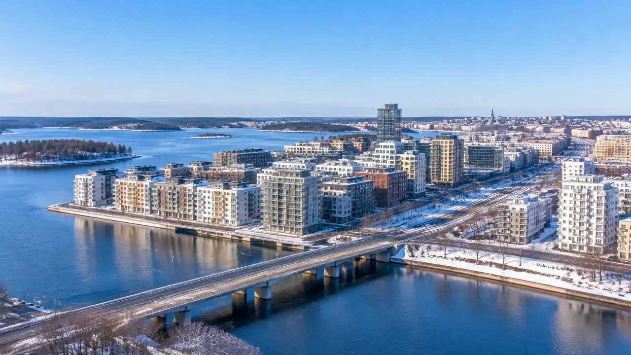
1 Define the twin you need
1.1 What is a digital twin in a city review?
In a review, a twin is a common spatial reference. It holds the buildings, the ground and the streets, and it lets a planning team compare a proposal with the existing city.
It does not have to be live. Most planning questions are about arrangement, not real-time status, and a static model with a clear date answers them.
It does not have to cover the whole city. A district or a corridor is often enough, and a smaller model is easier to keep current.
Start with the review that will use it. A twin built for a strategy document and a twin built for a station decision need different extents, and the second is usually smaller than the other.
1.2 What level of detail is enough?
Enough to answer the review question. Massing, footprints, terrain and the main routes will support a discussion about height, access and context.
More detail is not automatically better. A model with window frames and street furniture is harder to update and slower to open, and the extra detail rarely changes a planning judgement.
Match the detail to the decision. A city-wide strategy needs blocks and corridors; a station area needs platforms, entrances and the front row of buildings.
2 Build the base layer
2.1 How does a map-derived model fit?
GenAnywhere builds an editable 3D site model from a drawn map area, using satellite and map data. It identifies building footprints, estimates heights, infers types and reads vegetation. Buildings, terrain, water and vegetation arrive on separate layers.
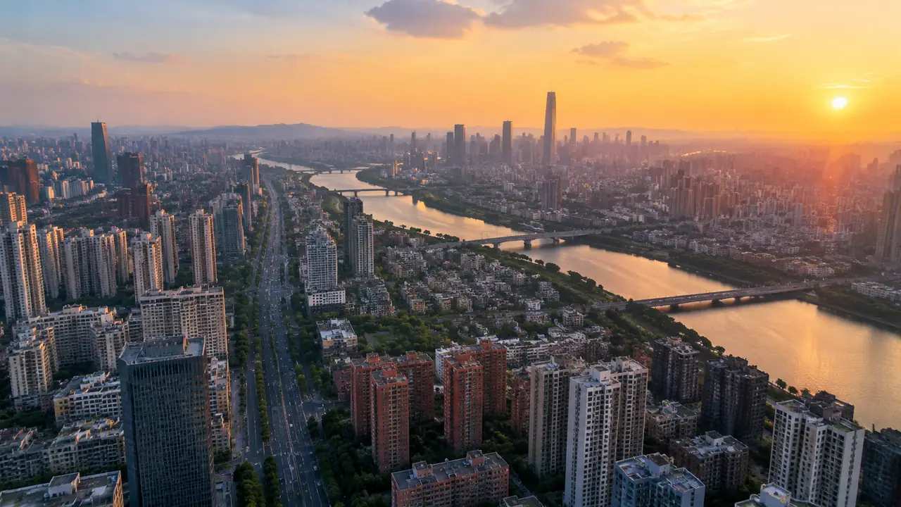
That is a reasonable base layer for a review twin. It carries the existing fabric without a modelling team rebuilding every neighbour, and the layers let different teams use the same file for different questions.
The model is editable, so the base can absorb a known change: replace a building, adjust a height, add a proposal volume. The twin stays a working document rather than a frozen snapshot.
2.2 What is outside it?
The base does not include the inside of buildings, the utility network, the traffic system or the live sensor feeds that a full urban twin might carry.
Legal boundaries, ownership and planning status live in the register and the ordinance, not in the mesh.
Measured levels are absent too. Terrain is simplified, and any engineering decision needs a survey.
3 Use it in review
3.1 Which questions does it answer?
It answers questions about massing and relationship. How does a proposal sit against the existing row? Does a new block cut a view from the bridge? Where does a route pass through the site?
It answers questions about change over a drawn area. A team can compare the base with a proposal version and see what has moved.
It answers questions about context for people who do not read plans. A councillor or a resident can look at the scene and point at the corner in question.
3.2 How do you keep the base current?
Record the imagery date on the file, and check it before each review. A base that is two years old may still be useful for context and misleading for a recent change.
Update the areas that change. Replace a demolished building, add a completed scheme, adjust a road. The rest of the base can stay.
Version the file by date and decision. A twin that is overwritten without a record cannot explain why a review reached its conclusion.
4 Connect the stack
4.1 What does the GLB feed?
GenAnywhere previews the scene and exports a general GLB with buildings, terrain, water and vegetation on separate layers. The file can be imported into common 3D, BIM and GIS tools as a context layer.
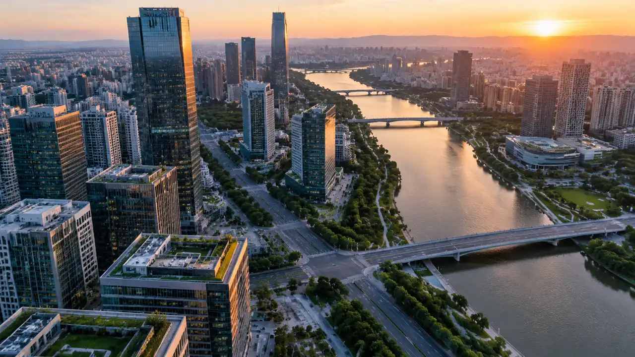
That makes it useful at the front of a stack: the planning team builds or receives the base, then the design, transport and engineering teams add their own layers.
City model standards such as CityGML describe structured urban data for this kind of work, and a team with a GIS stack may want the exported geometry converted into that schema rather than used as a raw mesh.
4.2 What stays outside?
Traffic, utilities, real-time data and asset condition stay in their own systems. A planning review twin does not need them, and pretending it holds them creates false confidence.
Design proposals stay in the design tools. The twin holds context, and the proposal is a layer that can be replaced.
Analysis stays in the analysis tools. Sun, wind, flood and capacity studies need their own inputs and methods.
5 Govern the model
5.1 Who owns the file?
The authority or the project team owns the review twin, depending on who commissioned it. The platform's terms allow commercial use of exported models, with limits on resale of raw files and AI training.
Ownership of the underlying imagery is separate. Third-party data rights can add conditions, and a legal contact should read them before the model is published.
Write the ownership and licence in the file header. A model that circulates without terms is difficult to reuse legitimately.
5.2 How do you record versions?
Use a date and a decision label: base, option A, option B, adopted. Keep the exported files rather than the working scene alone.
Record the edits made to the base. A replaced building or a changed height is a difference between the twin and the imagery, and the next user needs to know.
Set an update rhythm. A quarterly check is enough for a stable district and too slow for a corridor under construction. The rhythm should follow the rate of change, not the calendar.
Keep a short change log. Three lines per version is enough, and it prevents the archaeology problem that affects long-running models.
6 Avoid twin theatre
6.1 When is a twin unnecessary?
When the question is a single parcel with a simple proposal. A plan and a massing model will do.
When the authority has no process for maintaining the file. A twin that nobody updates becomes a historical artefact with a modern name.
When the budget would be better spent on survey data. A rough twin cannot substitute for measured levels and verified footprints.
6.2 What are the failure modes?
The base drifts out of date and nobody notices. The model looks authoritative, so the room trusts it.
The twin becomes a showcase. Time goes into visual polish rather than into the decisions it was meant to support, and the model is judged by how it looks in a presentation.
A second failure is naming. Files called final, final2 and latest undermine trust, and a date plus a decision label is easier to maintain than a folder of versions.
The scope grows without a matching budget. A city-wide ambition is announced, a district is delivered, and the gap undermines the next phase.
6.3 When do you rebuild?
Rebuild when the area or the scale changes. A corridor study needs a different base from a station study.
Rebuild when the imagery no longer represents the ground and the difference matters to the decision.
Rebuild when the layer structure has collapsed. A merged mesh is a picture, not a working twin.
A twin should have a stated purpose and a named owner. Without both, it becomes a file that everyone references and nobody maintains, and the next review inherits a base of unknown age.
GenAnywhere can build the editable base and export it, but the governance, the update rhythm and the decision log are the team's work. The platform supplies the scene; the institution supplies the trust.
Draw the review area in the GenAnywhere app and agree the base date before the opening twin session.
7 FAQ
FAQ-1 Is GenAnywhere a digital twin platform?
No. It builds an editable site model from map data and exports a general GLB. A twin is a system a team builds around that base, with governance, data feeds and updates the platform does not provide. Treat it as one input to a twin, not as the twin itself.
FAQ-2 Can the model be updated over time?
Yes, by editing buildings, heights and layers and exporting a new version. The platform does not track changes automatically, so the team needs its own version record. Keep the exported versions as well, because the working scene may change while the published base should not. A date in the filename helps.
FAQ-3 Does it connect to GIS or BIM?
The exported GLB can be imported into common 3D, BIM and GIS tools. Native formats and coordinate systems vary by workflow, and the receiving team must check scale and orientation. Check the coordinate system and the unit scale before the file enters a production stack. Those two errors account for most import surprises.
FAQ-4 How much of a city can we model?
The practical limit is the area a team can draw, open and maintain. District and corridor scales are common. A city-wide twin needs a governance and data programme beyond a single scene. Start with the review area and expand only when a decision needs a wider view. A larger base is not automatically more useful.
See how a site becomes an exported base layer in the GenAnywhere workflow.
Content and technical notes
This article was prepared by the GenAnywhere team with AI-assisted drafting and human review.
Product features, formats, and availability change as the platform evolves; refer to the official GenAnywhere website for current details.
For technical questions or corrections, contact support@genanywhere.com.
Last reviewed: 2026-11-06.