Urban planning site visits: three checks before a GenAnywhere review
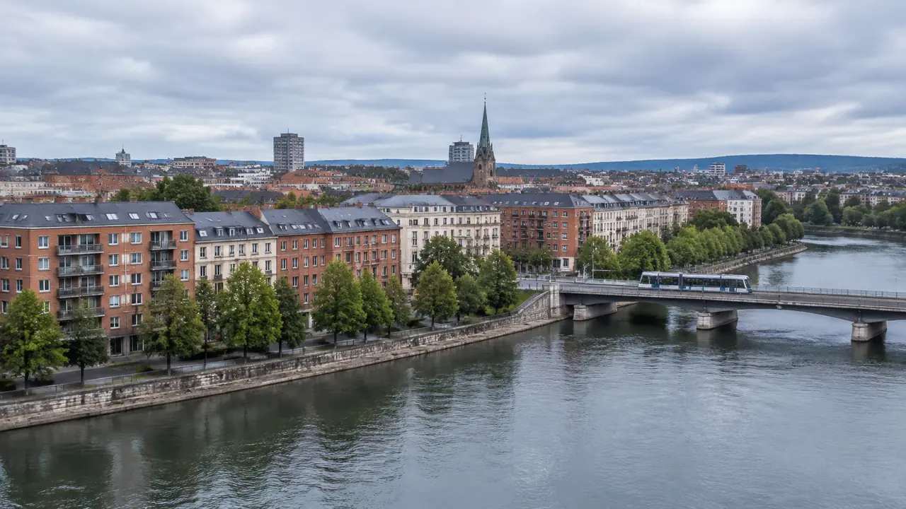
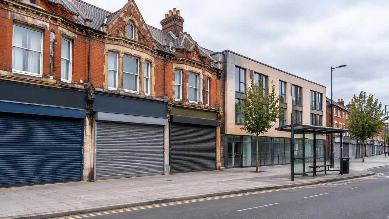
Site visits catch what models cannot: narrow pavements, level changes and daily use. Three checks on edges, levels and life make a subsequent 3D review more honest, and the notes and photographs should travel with the scene file, including the date, the route walked in order and the people present.
Urban planning digital twins: how GenAnywhere fits a city review
A city review twin needs a shared base, not a live mirror. A map-derived site model supplies editable buildings, terrain and layers for comparison, while governance, update rhythms, data feeds and the decision log remain the institution's work, along with the budget, the staff time and the local political will.
Urban climate resilience: a site checklist GenAnywhere supports
Climate resilience starts with the ground. A site scene can show low points, slopes, shade and fragile access, giving a planning team a checklist of places to study. Flood depths, heat, wind and drainage capacity still need measurement and engineering, with the scene framing where those studies begin and end.
Urban heritage planning: what GenAnywhere shows and what it cannot
Heritage planning separates the record from the judgement. A 3D setting study can show mass, view and context around an asset, but significance, fabric and the effect of change remain with conservation specialists and the documented assessment, and the written assessment should say which is which, clearly, view by view.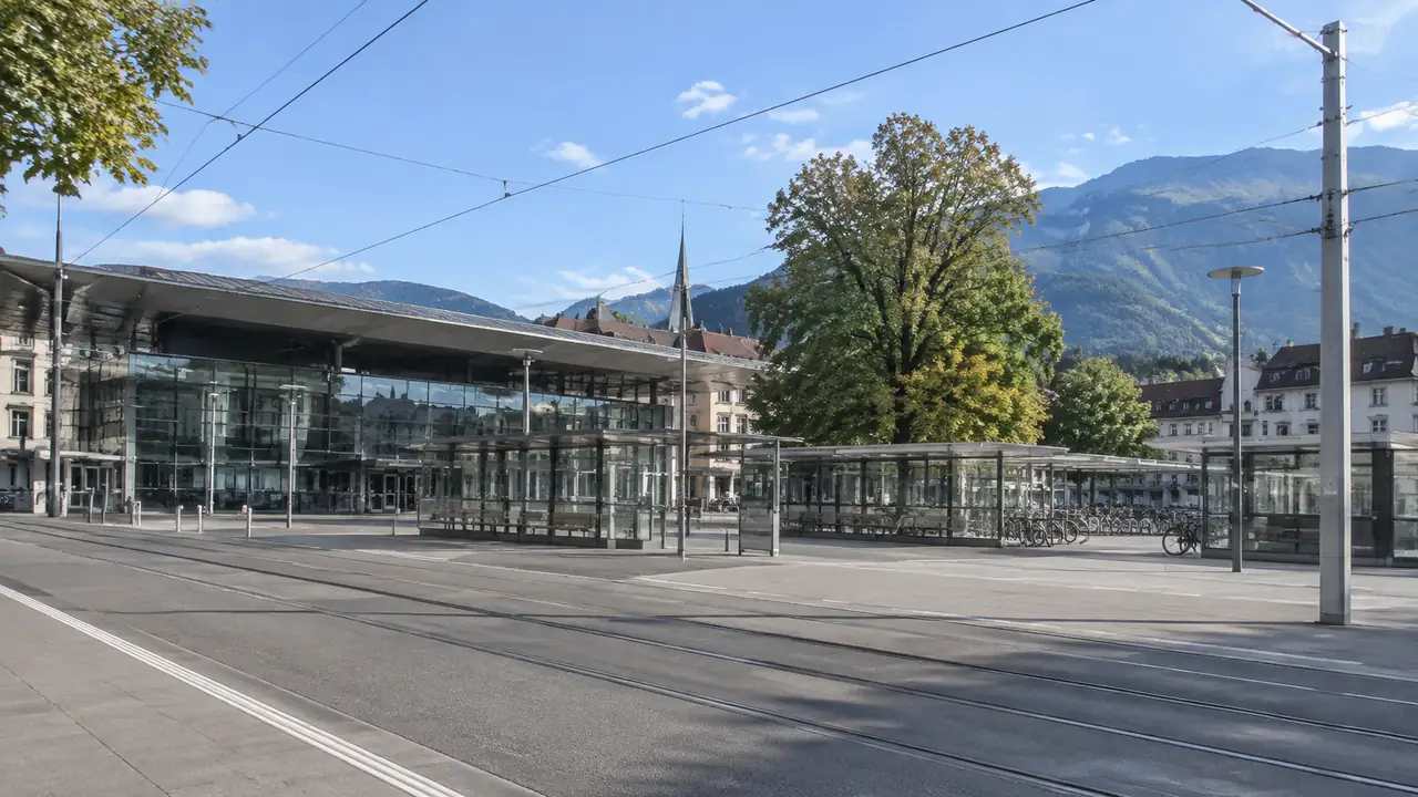
Urban planning for transit sites: what to check with GenAnywhere
Transit sites are judged by the walk. A map-derived scene helps a team test station entrances, crossings, level changes and the first row of blocks, while ridership, signals, fares and platform design need transport specialists and observed data, using the scene to frame the open questions rather than answer them.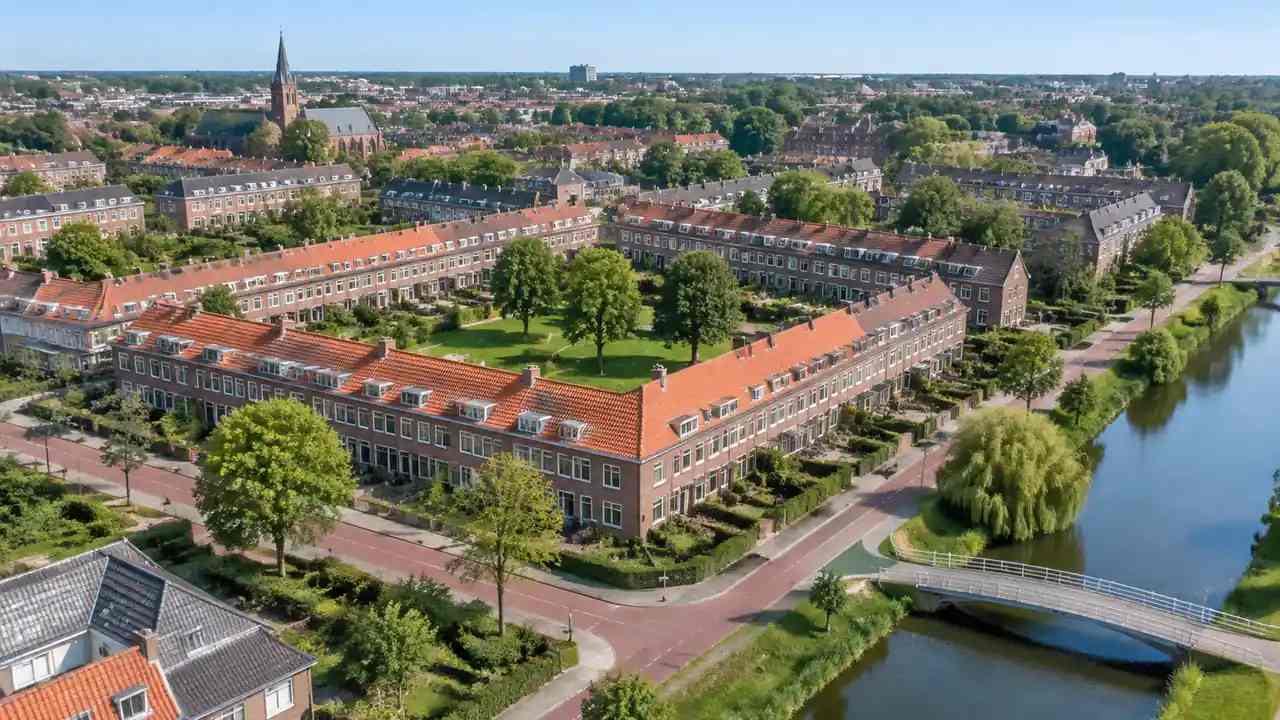
Urban housing density: where GenAnywhere helps teams compare
Housing density comparisons need one measure, fixed assumptions and a shared view. A 3D site scene shows how the same number produces courtyards, terraces or towers, while tenure, cost, parking and infrastructure capacity stay outside the model and need separate evidence and a separate local capacity study before any approval.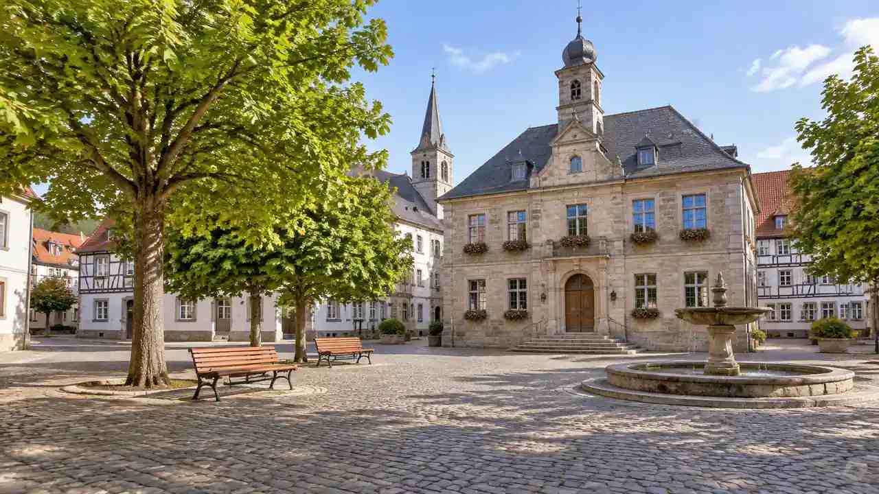
Urban planning consultations: what residents see in GenAnywhere
Consultations work when residents recognise the place. A map-derived 3D scene can show massing, access and familiar corners, but it must be introduced as context with estimated heights rather than as a promise of the finished scheme, and the limits should be stated at the start, stated clearly and early.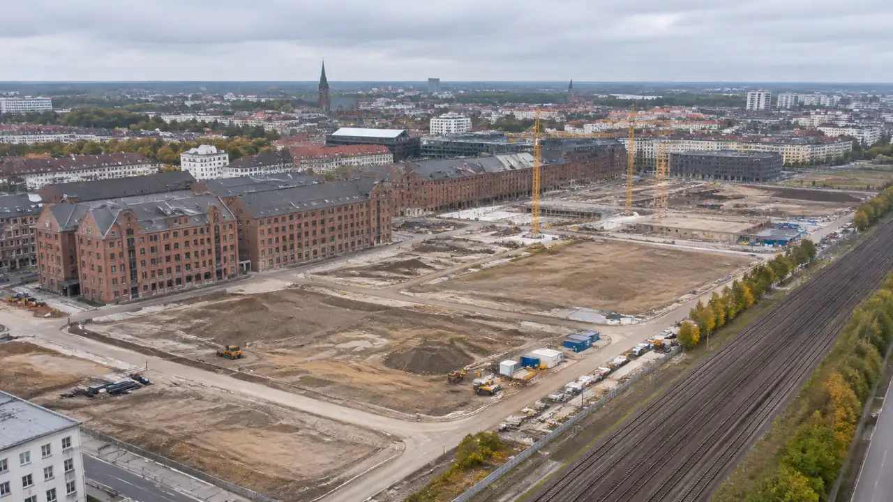
Urban planning 3D: how teams block out a district, GenAnywhere
A district blockout tests arrangement before detail. A map-derived scene supplies existing blocks, streets and terrain quickly, and editable volumes let a team compare massing options at the same camera before design work hardens into detail that is costly to change, with the aim of a shared argument about mass.
Urban planning zoning review: what to review in GenAnywhere
Zoning review remains a legal reading of the code. A 3D site scene can show what a permitted envelope looks like beside the street, which helps applicants and officers discuss height and setback without treating the model as a compliance finding, while the adopted ordinance remains the local planning authority.