
Alternative to manual site modeling: how teams start with GenAnywhere
What a drawn blockout buys, where its cost lands, and how a generated base changes the opening pass.
Manual site modeling is honest work: someone draws the blocks, the ground and the neighbours until the scene resembles the place. It becomes expensive when the site is large or the design is still moving, because every change lands on the same geometry. A generated base offers a different starting point, not a different standard.
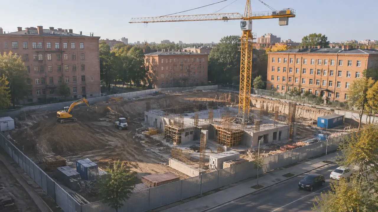
1 What manual modeling costs
1.1 What does manual work buy?
It buys control. The modeller decides what to include, how much detail each block carries and which features of the site are worth representing.
It also buys understanding. Drawing a site by hand teaches the team how the streets connect and where the awkward edges sit.
Neither benefit disappears when a base is used. The question is whether the team needs to pay for them at the start.
Control has a limit, though. A hand-built blockout reflects what the modeller knew on the day, and that knowledge may be thin for the surrounding district. The base makes a different trade: less control over each block, more coverage of the place.
1.2 Where does the cost land?
The cost lands on revision. A blockout that took a session to build can take another session to change, and the design conversation waits.
It also lands on coverage. A manual model usually covers the site and stops, leaving the surrounding district as a guess or a blank.
Those two costs are the reason teams look for an alternative to manual site modeling, even when they like the result. Revision cost is also about the cost of raising a question, because a team that expects a long rebuild will ask fewer questions.
2 Start with an area
2.1 How does the area start?
GenAnywhere begins with a polygon drawn on a map, which defines what the model will cover. The area can include the next street or the riverbank, so the context is part of the scene from the beginning.
The platform identifies footprints, estimates heights, infers types and reads vegetation. Buildings, terrain, water and vegetation arrive on separate layers.
The polygon is an editorial decision as much as a technical one. Draw it too tight and the neighbours disappear; draw it too wide and the scene carries detail nobody will use. A margin around the site is usually the right compromise.
2.2 What arrives at the start?
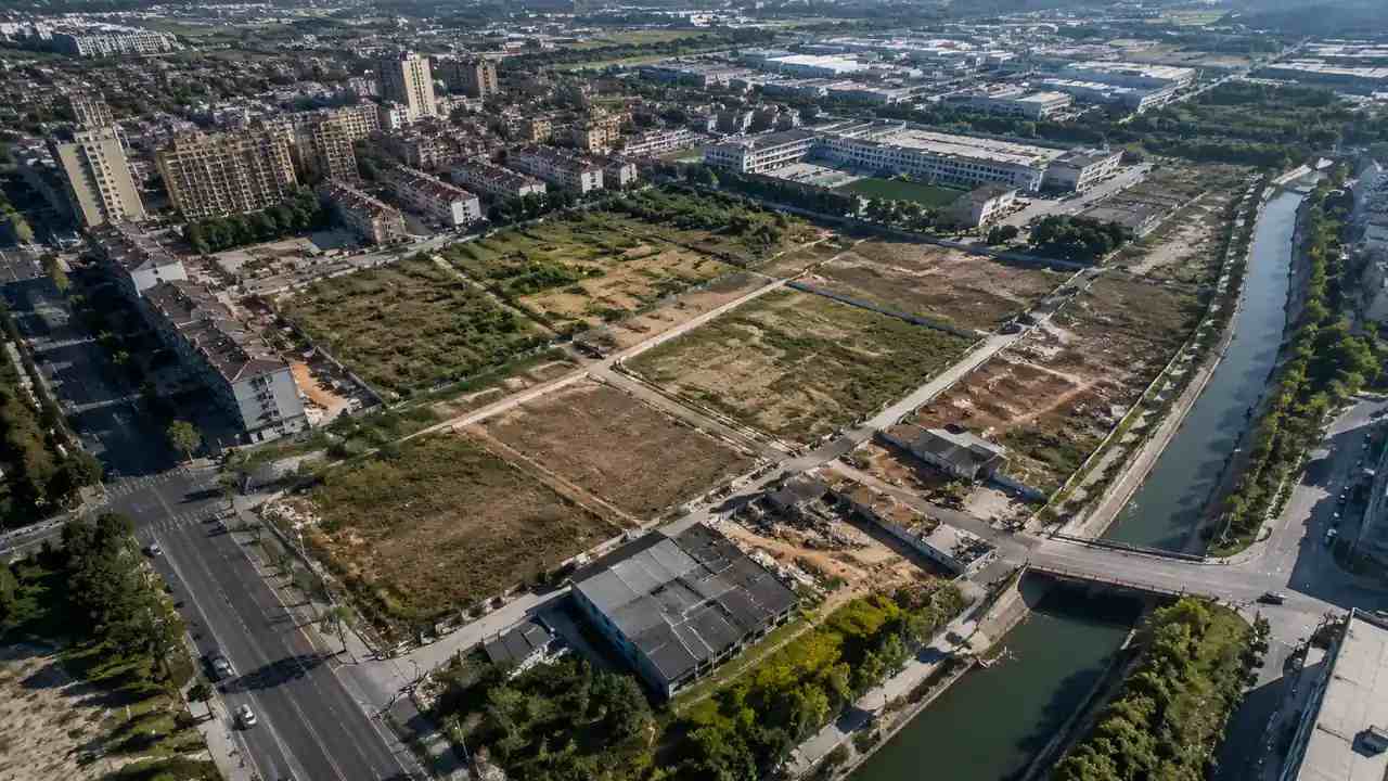
A working scene arrives before any design decision. The team can orbit it, hide layers and check the arrangement against what they know about the site.
The opening version is a hypothesis about the place, not a survey. Saying that early keeps the conversation about arrangement rather than measurement. A quick orbit and a comparison with a photograph will catch the obvious mismatches, and the errors that remain are the ones worth noting.
3 Edit the massing
3.1 What can change?
A building can be replaced, moved, rotated or given a new height or type. The ground stays, and the vegetation can be hidden when the question is about the blocks.
A change is visible immediately, which is what makes the base useful in a meeting. The room can test an option instead of describing it.
Edits are also a form of communication. Moving a block in front of a room shows a proposal's consequence faster than a paragraph, and the scene becomes a shared object rather than a document.
3.2 What stays fixed?
The map data stays as the source, and the edits are recorded against it. A replaced building is a deliberate departure, not a new survey.
That distinction matters when the scene is handed on. A later reader needs to know which blocks came from the map and which were changed for the argument. A replaced building is a hypothesis, and the note should say so rather than letting the scene imply a survey.
4 Fill the context
4.1 What does the context add?
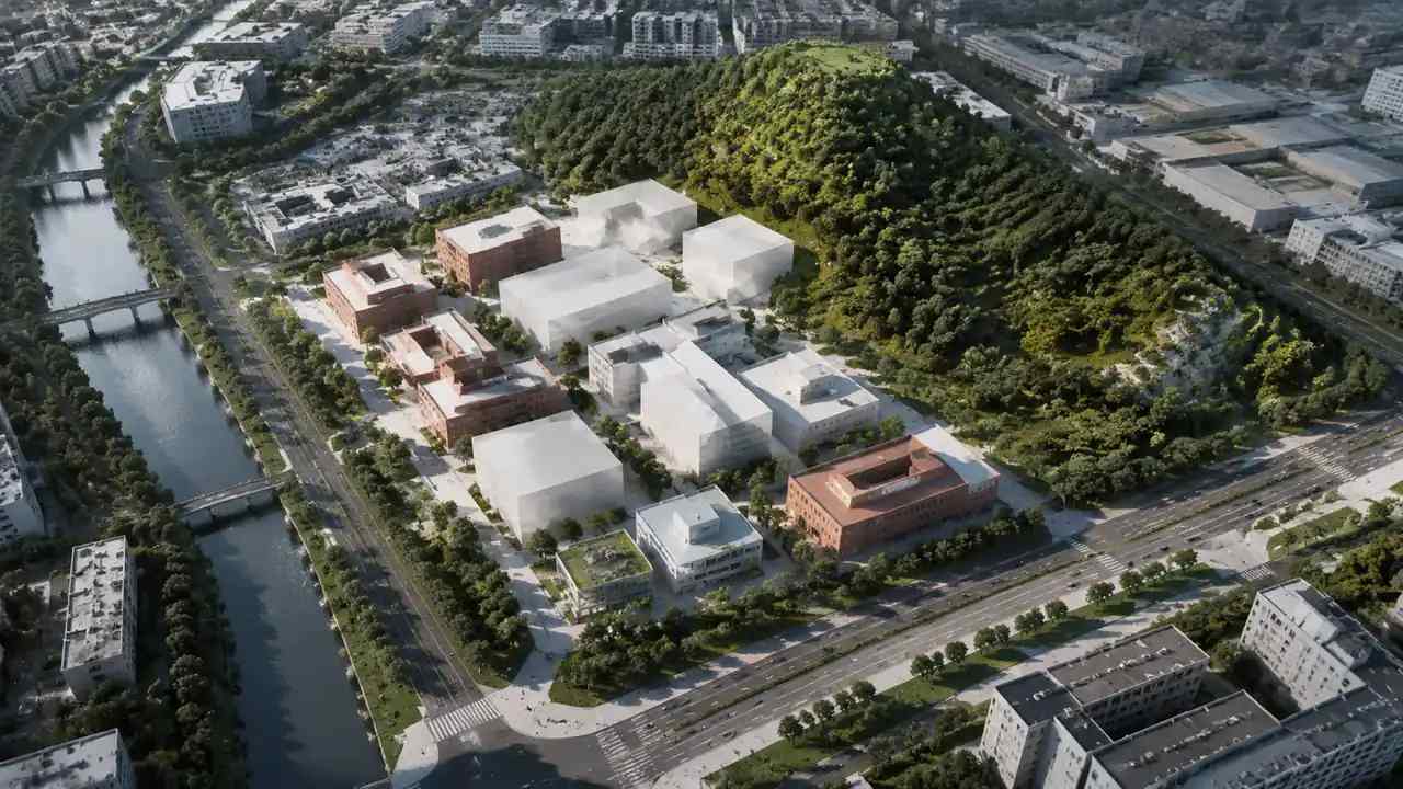
The surrounding blocks show what the site is part of. A proposal that looks reasonable in isolation can look wrong when the neighbour's roof line appears beside it.
Water and ground add the constraints that drawings often flatten. A bank, a slope or a flood plain changes how a scheme meets the edge. With neighbours visible, the conversation moves from how the building looks to how it sits, which is usually the more useful discussion at an early stage.
4.2 What does it not add?
It does not add surface condition or measured levels. A capture or a survey supplies those, and the base should not pretend to.
It does not add design intent either. The base can hold a mass, and it cannot decide what the mass should be. Professional bodies such as RICS publish guidance on measured surveys when a decision needs controlled dimensions. A scene that admits it has no levels invites the survey it needs, while a scene that looks complete postpones the request.
5 Keep the manual work
5.1 What manual work remains?
The design still has to be drawn. Walls, floors, openings and materials are decisions, and they belong in the design tool.
Some context may also need manual correction. A building that the map generalises can be adjusted by hand if the decision depends on it. The division of labour should be visible in the file: a context layer and a design layer, each named and dated, tell the next reader which is which.
5.2 How do you combine them?
Import the base as context, draw the proposal beside it and keep the two on separate layers. The scene then shows what exists and what is proposed without confusing them.
Record which parts were edited. A short note is enough, provided it names the source and the changes. Merge the two and the provenance disappears, which is the one property a review cannot reconstruct later.
6 Decide when to switch
6.1 When do you switch?
Switch when the site is large, the design is moving or the surrounding context matters. Those are the conditions where manual coverage becomes expensive.
Switch when the team needs a shared scene rather than individual sketches. A base gives everyone the same starting arrangement. The switch is easier when the team names the question that manual work cannot answer.
6.2 When do you stay manual?
Stay manual when the site is small, simple and already understood. A few blocks drawn by hand can be faster than setting up an area.
Stay manual when the model is the design. If the massing itself is the argument, the designer may prefer to draw it directly. Manual work also wins when the model is small enough to hold in one head, and a single building on a simple plot rarely needs a district base.
6.3 When do you stop?
Stop when the base stops changing the decision. A context scene that nobody edits is background, and background can be simplified.
Stop when the file becomes slow or the layers stop being maintained. A base that is not kept current is worse than a drawing that is honestly dated. Stopping is a decision, not a failure, and the scene can be archived with its date. A dated archive is easier to trust than a scene that is quietly kept alive.
Draw the area in the GenAnywhere app and start the opening pass from the arrangement rather than a blank plane.
7 FAQ
FAQ-1 Does this replace manual modeling?
No. It replaces the opening pass at site context, not the design work. The base supplies the surrounding arrangement from map data, and the team still draws the proposal in its own tool. Manual correction remains available wherever the map generalises something the decision depends on. The note should say which parts were corrected by hand.
FAQ-2 How is the base created?
A polygon drawn on a map defines the area, and the model is generated from map and satellite data. The result is an editable scene with buildings, terrain, water and vegetation on separate layers. It is a working hypothesis rather than a survey. Record the polygon and the date with the scene, so the next reader knows what was covered.
FAQ-3 When is manual work still better?
When the site is small, simple and already understood. A few blocks drawn by hand can be faster than setting up an area, and the base would add a step without adding an answer. The same applies when the design itself is the model. A small site rarely rewards a district method.
FAQ-4 How do I keep the two from blurring?
Keep the base and the design on separate layers, label the context with its date, and record the edits in a short note. That combination lets a reviewer see what came from the map and what the team changed, without opening both files. A dated label is the simplest safeguard.
See how a map area becomes an editable site model in the GenAnywhere workflow.
Content and technical notes
This article was prepared by the GenAnywhere team with AI-assisted drafting and human review.
Product features, formats, and availability change as the platform evolves; refer to the official GenAnywhere website for current details.
For technical questions or corrections, contact support@genanywhere.com.
Last reviewed: 2026-11-06.