
Photogrammetry alternative: where GenAnywhere fits a site review
One records surfaces on a flight day; the other holds the arrangement. A review needs to know which is which.
A photogrammetry alternative is not a better camera. It is a different record: arrangement generated from map data rather than surfaces reconstructed from photographs. GenAnywhere supplies that arrangement as an editable scene and a general GLB, and the two records answer different questions about the same site.
1 Two ways to record a site
1.1 What does a flight record?
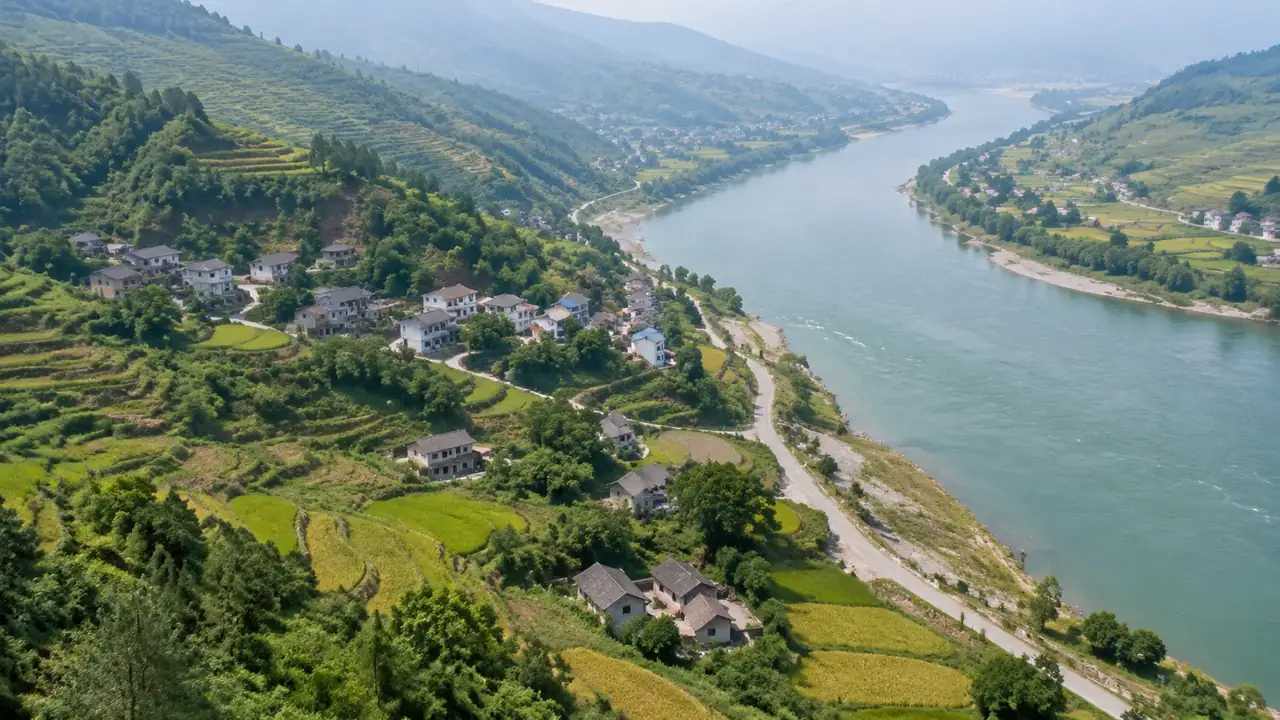
A photogrammetric capture records surfaces from several angles and turns the overlap into a textured mesh. Façades, roofs and the ground between them survive in a way a drawing cannot reproduce.
It is strong evidence of condition and weak evidence of arrangement beyond the flight. The mesh knows what a camera saw, not what the site means for a decision.
That distinction is where a photogrammetry alternative becomes useful. It is not a better capture; it is a different way to hold the arrangement while the design is open. A capture also records what nobody thought to ask about, which is both its strength and its cost.
1.2 What does the base record?
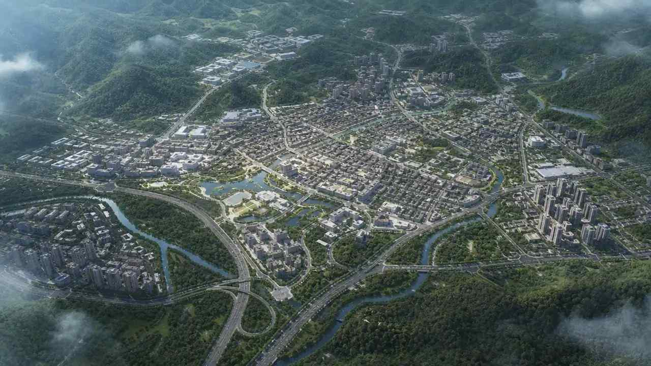
GenAnywhere draws an area from map data and generates buildings, terrain, water and vegetation on separate layers. It records arrangement, not surface condition. A base records what the map knows, which is usually the arrangement and rarely the condition.
The output is editable, so a block can move without rebuilding a mesh. That editability is the property a review needs when the proposal is still changing.
The export is a general GLB, which carries the scene into design, GIS and engine tools without claiming a native format. The note should describe it that way.
2 What photogrammetry gives
2.1 Where does the capture lead?
Use it when the question is about what is there: condition, materials, a recent alteration or a completed scheme. The texture is the evidence, and a reviewer can see what the camera saw.
Use it when the site is irregular and the awkward parts matter. The lean-to, the retaining wall and the yard survive in a mesh, while a map generalises them away.
Use it when the record has to carry a date that someone will question. A flight date is easier to defend than an impression of the site. A capture is also the honest record when the argument is about what changed and when.
2.2 Where does it fail?
It fails at water, glass and dense vegetation, where the reconstruction guesses. It also fails at the edge of the flight, which is often where the neighbour sits.
And it fails at revision. A new proposal means a new scene or a new flight, because the mesh has no separate idea of a wall.
A capture that is treated as a design tool will disappoint. It records; it does not propose. The failures are usually visible on the opening orbit, which is why the scene should be checked before the meeting. Industry guidance from ASPRS covers photogrammetric processing and its limits.
3 What the base gives
3.1 Where does the base lead?
Use it when the question is about arrangement: a massing test, a density check or a view study. The base gives volumes that can move.
Use it when the area is larger than a flight. A district review can continue across ground nobody photographed, at a consistent level of detail.
Use it when the team needs layers. Buildings, terrain, water and vegetation can be shown or hidden separately, which is what lets a room look at one system at a time. The base is not a survey, and it does not need to be one to answer an arrangement question.
3.2 Where does it fail?
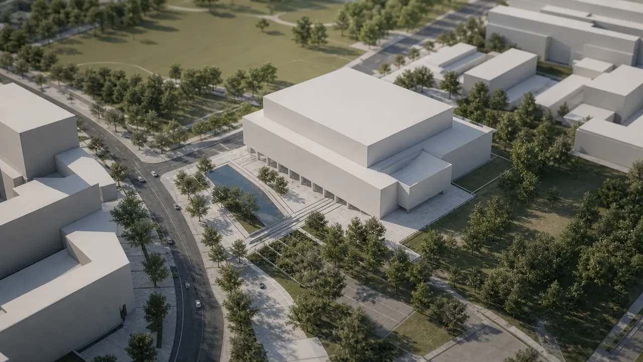
It fails at surface truth. A plausible mass says nothing about the state of a façade, and it should not be asked to.
And it fails at currency. Map data lags, and a site that changed recently may not match the scene.
It also fails at the boundary. Ground outside the drawn area is simply absent, and the note should say where the evidence stops. The boundary of the drawn area is a decision, and it belongs in the note.
4 Where they meet
4.1 How do they meet?
They meet when a review needs both arrangement and surface evidence. The base carries the setting, the capture carries the condition, and the note says which governs which question.
They also meet at a common origin. Agree the unit and the frame before combining them, or the two records will look aligned and sit apart.
Test one known dimension across both. A door, a parking bay or a building frontage will show whether the alignment holds in practice. The goal is not a scene without joins but a scene whose sources can be named.
4.2 How do you keep them apart?
Keep them as separate files or separate layers, and label the dates. A merged scene hides provenance, which is the property a review depends on.
Style them differently. Texture for the capture, flat material for the base, so a glance tells the room which is which. A reader who can name the source can judge the claim.
Record the choice in the note. A reader who knows which source answered which question will not confuse the two later.
5 Choose for the question
5.1 When is a capture the right choice?
When condition is the argument, or when the site changed since the map data was captured. A surface question needs a surface record.
When the record has to survive a question about a particular day. A dated flight is easier to defend than a scene that carries no date.
When the neighbour's fabric is part of the design discussion. Texture makes that conversation concrete, and a capture also records a completed scheme for later questions.
5.2 When is the base the right choice?
When the proposal is still moving and the team needs to test arrangements. The base can change without a flight.
When the site is large, or when the context beyond the site matters. A drawn area can cover the next street and the riverbank.
When the team needs to compare options quickly. The same convention applies to every area, which keeps the comparison fair. A base also lets a team test a height without rebuilding the context around it.
6 State the limit
6.1 What should the note say?
The source and date of each record, the question it answers and the parts it does not cover. Those four items explain most of what a receiver needs.
The alignment test, the person who ran it and the result. A tested scene is easier to defend than one that merely looks right.
The boundary of the evidence. A scene that stops mid-block should say so before the room assumes the blank is a wall. A note that fits on one page is more likely to be read.
6.2 When do you stop?
Stop when the remaining uncertainty cannot change the decision. More evidence does not make a settled question better.
Stop when the file becomes slow enough that people avoid it. A scene opened once is not a working tool.
Stop when the next question belongs to another discipline. Hand over the record rather than stretching it. A stopped record should be archived rather than deleted, because later questions return.
6.3 When do you combine?
Combine when a single meeting needs both kinds of evidence. A planning review with a heritage question is a typical case.
Combine late, after each record has been checked on its own. A combined scene built from two untested sources is difficult to unpick.
Combine with labels, not with trust. The label is what lets a later reader ask the right question of the right file. The combination should be a decision, not a default, because a default hides which source failed.
Draw the area in the GenAnywhere app and keep the capture beside it as a dated surface record.
7 FAQ
FAQ-1 Does GenAnywhere process photogrammetry?
No. It builds a site model from map data and exports a general GLB. A photogrammetric mesh is produced in separate software and remains its own record. The platform supplies the arrangement around that record, not a replacement for it. The two can sit side by side without becoming one.
FAQ-2 Which is better for a site review?
It depends on the question. If the review turns on condition or recent change, the capture is the stronger evidence. If it turns on arrangement and alternatives, the base is easier to use. Many reviews use both, with each source labelled and the note saying which one answered which question.
FAQ-3 Can the two be merged?
Yes, as a reference scene, provided the parts stay identifiable. Keep the capture and the base on separate layers or in separate files, and label the dates. A merged file without provenance is hard to defend when someone asks where a surface came from. Name the dates on both records.
FAQ-4 What if the capture is out of date?
Use it as a record of its date, not as current conditions. Check the site, a recent photograph or a new flight if the change matters. The base can still supply the surrounding arrangement while the surface record is refreshed. A dated surface record remains useful evidence of its moment.
See how a map area becomes an editable site model in the GenAnywhere workflow.
Content and technical notes
This article was prepared by the GenAnywhere team with AI-assisted drafting and human review.
Product features, formats, and availability change as the platform evolves; refer to the official GenAnywhere website for current details.
For technical questions or corrections, contact support@genanywhere.com.
Last reviewed: 2026-11-06.