
Urban planning consultations: what residents see in GenAnywhere
How a map-derived scene helps a consultation show massing and access, and where it can mislead a room.
A consultation works when residents can connect a proposal to a place they know. A map-derived 3D scene can show the block, the street and the skyline from a familiar corner, which is often more useful than a plan few people read fluently. It can also mislead if the room mistakes a context model for a promise.
1 Decide what the consultation is for
1.1 What can a resident judge?
Residents judge what they can see and what they already know: the height at the corner, the light in the afternoon, the walk to the shops, the noise from the yard. They are good at spotting a change to a familiar route and poor at estimating floor area from a drawing.
Design the session around those strengths. Show the corner, the route and the shadow rather than a table of densities.
Residents also judge process. A room that feels shown a finished scheme will resist it; a room that sees options and understands the constraints can take part in the choice. The IAP2 public participation spectrum is a useful reference for matching the format to the decision.
1.2 What should the session avoid?
Avoid asking residents to validate technical figures. A consultation is not a survey, and a show of hands about floor area says nothing useful.
Avoid presenting a single polished image as the proposal. One image invites a yes or no, and the useful conversation is about which parts of the scheme cause the problem.
Avoid promising that comments will change a decision when the decision is already made. The scene can explain a choice; it cannot manufacture influence.
2 Prepare a view residents recognise
2.1 How do you choose the viewpoints?
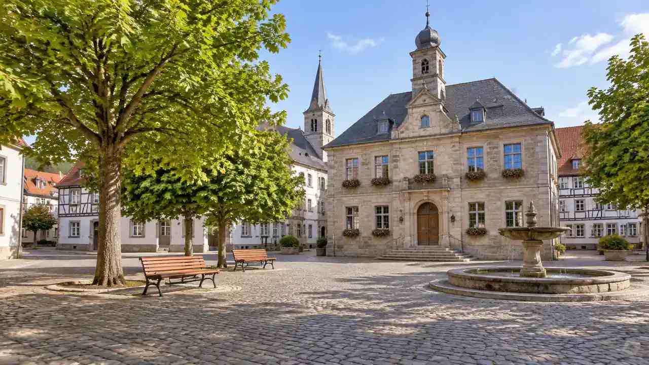
Choose the places people already stand: the bus stop, the school gate, the corner shop, the bridge. A view from a drone is impressive and hard to argue with; a view from the pavement is where the argument lives.
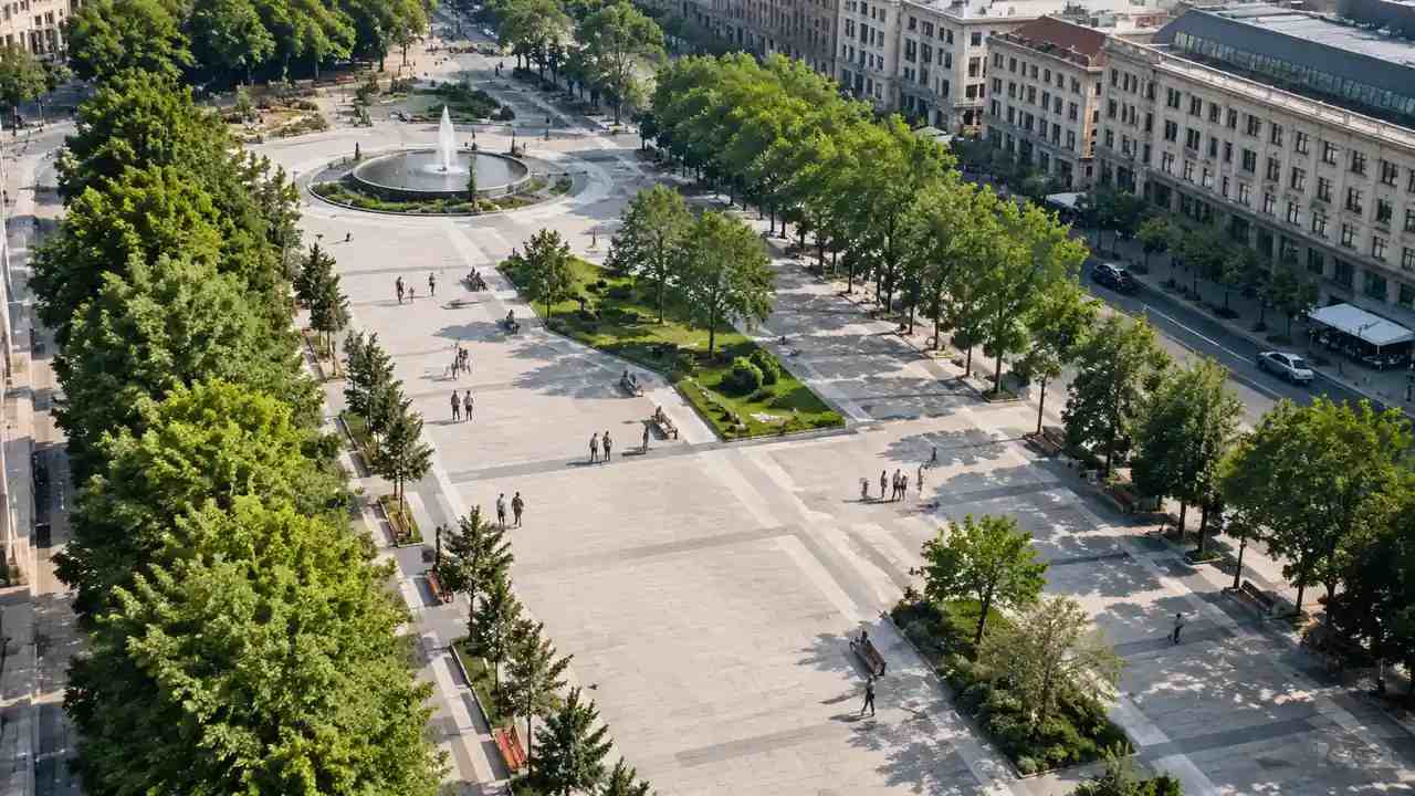
Include one view from the most affected neighbour and one from the wider approach. The neighbour view shows the impact, and the wider view shows the scheme in its district.
Keep the camera height at eye level for street views. A view from ten metres up flatters a building and loses the detail people care about.
2.2 What makes a scene legible?
Familiar landmarks, simple massing and a consistent light. If the church tower is missing, residents lose their anchor; if the light is dramatic, they read mood instead of form.
GenAnywhere builds the scene from map data, with buildings, terrain, water and vegetation on separate layers. The result carries the surrounding fabric automatically, which is what makes a view recognisable without a modelling team.
Check the scene against a recent photograph before the session. A new building or a removed wall will be noticed by the room, and noticing it early costs less than being corrected.
3 Run the room
3.1 How do you introduce the model?
Start with what the scene is: a context model built from map data, with estimated heights and simplified detail. Say what it does not show, from boundary walls to bus shelters.
Then show the site as it is today, before showing the proposal. Residents need to see that the base is their place, not a generic rendering.
Move slowly. A model that spins while someone talks is entertainment; a model that stops at a corner lets the room look.
GenAnywhere keeps the scene editable, so a proposed block can be replaced or a height changed before the session. Hiding a layer is often enough to answer the question without building a second model.
3.2 How do you capture comments?
Capture them by location. A comment attached to a corner, a route or a view can be checked and answered; a comment attached to the scheme as a whole cannot.
Use a simple form with three fields: where, what and why it matters. The third field is the one that turns an objection into a design question.
Record who said it, not to attribute blame but to follow up. A consultation that never reports back teaches residents that speaking is pointless.
Use small tables for the second half of the session. Six people around a screen will point at a corner and argue; forty people in rows will listen and leave. The table format produces the comments that change a scheme.
Some concerns arrive as a comparison with another place. A resident may say the scheme is denser than the town centre, or taller than the hospital. Ask which place they mean, then show both in the same view when the model covers them, because a comparison is easier to answer than an adjective.
GenAnywhere previews the edited scene before export, so a correction to the base can be shown in the next session rather than described. That is a small capability, but it keeps the conversation on the place instead of on the software.
4 Separate concern from evidence
4.1 Which concerns are spatial?
Height, overshadowing, overlooking, access, traffic and the loss of a view are spatial concerns. A scene can show height, overshadowing, overlooking and access directly, while traffic and view loss stay as context.
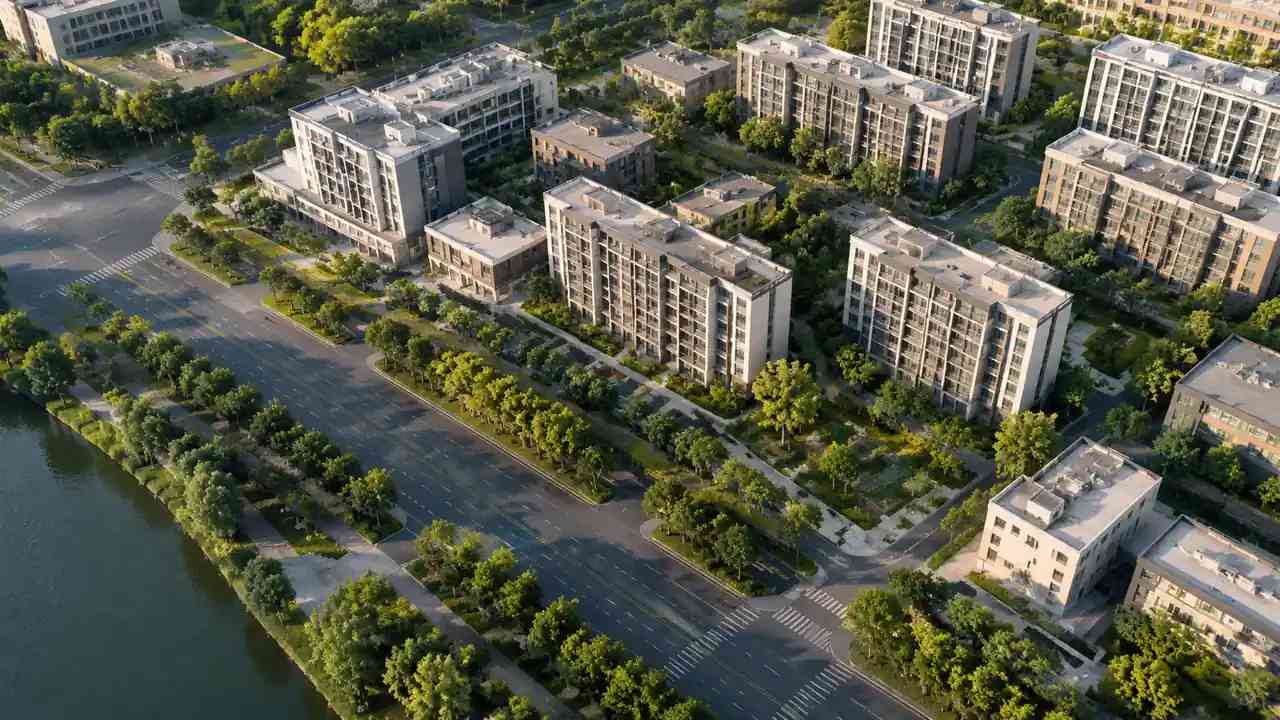
Character concerns are partly spatial. The scale of a frontage and the rhythm of a street can be shown; the meaning of a place cannot.
Separate the two in the note. A concern about scale can be tested; a concern about belonging needs a different conversation.
4.2 How do you answer a concern you cannot show?
Say what the scene cannot show, and name the evidence that can. A noise concern needs a measurement or a traffic study, not a better rendering.
Offer the next step rather than a reassurance. "We will check the afternoon shadow at this corner and bring the result to the next session" is a commitment someone can keep.
Do not use the model to argue that a concern is imaginary. A resident who feels overlooked is describing an experience, and the scene should be used to understand it, not to overrule it.
5 Close the loop
5.1 What goes back to residents?
A short note with the comments received, the ones that changed the scheme, the ones that did not and the reason. Include the revised view from the same camera so the change is visible.
Publish the scene files or a link when the authority allows it. A resident who can look again at home often finds the answer to their own question.
Keep the language plain. "The corner block is two storeys lower" is better than a description of a massing adjustment.
5.2 What changes in the next version?
Change what the comments support and say what was left alone. A scheme that changes everything looks responsive and becomes incoherent.
Update the scene date and the imagery date. A consultation that reuses an old base invites the same objections again.
Keep a record of the views shown. The next consultation should be comparable, and a changed camera can look like a changed scheme.
6 Keep trust in the process
6.1 When is a model inappropriate?
When the proposal is a policy or a budget decision with no spatial form. A model implies a specificity the decision does not have.
When the community has no access to a screen or a stable connection. A paper plan and a physical model may serve the room better.
When the scheme is not ready to be seen. Showing a rough massing as a proposal invites a reaction to the wrong thing.
6.2 What are the risks of over-polish?
A polished image reads as a promise. If the façade changes later, the room remembers the picture and treats the change as a withdrawal.
Polish also hides uncertainty. A crisp render of an estimated height looks more certain than the data deserves.
Keep the scene visibly a model: simple materials, clear labels and an honest note about what is estimated.
6.3 When should the consultation stop?
Stop when the same comments repeat without new information. Another session will not settle a question that needs a technical answer.
Stop when the decision moves to a formal stage with its own process. The scene can support that process, but it should not compete with it.
Stop when the room is exhausted. A consultation held to satisfy a timetable produces noise, and the note becomes harder to use.
Open the area in the GenAnywhere app and check the views before the next session is announced.
7 FAQ
FAQ-1 Is the scene detailed enough for a consultation?
It is a context model built from map data, with estimated heights and simplified detail. That is enough to discuss massing, access and familiar views, and not enough to settle dimensions or legal questions. State the limits at the start. Say plainly that heights are estimated and detail is simplified, then invite the room to test the parts that matter.
FAQ-2 Can residents explore the model themselves?
The exported GLB can be viewed in common 3D tools, and some teams share a guided viewer at a session. Access depends on the venue and the software available. A facilitated walkthrough is usually more useful than an unattended file. If a shared viewer is not available, a facilitated walkthrough on one screen is the safer option.
FAQ-3 Does a consultation model need to be photorealistic?
No. Simple massing with recognisable surroundings often produces a better conversation, because the room discusses form rather than finishes. Photorealism raises expectations the proposal may not meet. A simple massing image also makes it easier to change the scheme without appearing to break a promise, which matters when the consultation runs over several months.
FAQ-4 What if residents dispute the base model?
Check the imagery date and compare the scene with a recent photograph. If the base is wrong, correct it before defending the proposal. A disputed base undermines every other part of the session. Correct the base in the room if you can, and record the correction in the note so the next session starts from the same place.
See how a site moves from map selection to an exported scene in the GenAnywhere workflow.
Content and technical notes
This article was prepared by the GenAnywhere team with AI-assisted drafting and human review.
Product features, formats, and availability change as the platform evolves; refer to the official GenAnywhere website for current details.
For technical questions or corrections, contact support@genanywhere.com.
Last reviewed: 2026-11-06.