
Urban planning 3D: how teams block out a district, GenAnywhere
From a drawn map area to a massing scene a team can argue with, before the design work hardens.
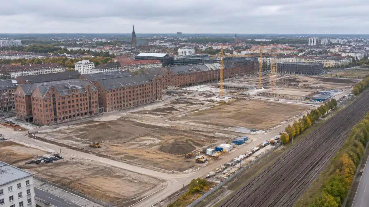
A district blockout is a way to test arrangement before detail: where the mass sits, how the streets run and what the skyline does from the river. Urban planning 3D work at this stage is mostly about relationships, and a map-derived site model can supply the base without a modelling team rebuilding every neighbour by hand.
1 Set the blockout question
1.1 What is a district blockout for?
A blockout answers questions about mass and movement. Can the district hold the proposed floor space without overwhelming the street? Does the route from the station reach the centre without a dead corner? Does the new quarter connect to the old one or sit beside it?
It is not a design. The blockout is a rough argument in volume, and its job is to fail cheaply. A mass that is wrong at this stage costs a morning to move; the same mass discovered after façade design costs a month.
Write the question on the file. A blockout that tries to answer density, character and transport at once produces a scene nobody can read. The UN-Habitat programme on urban planning sets out how block-scale decisions connect to wider city strategy.
1.2 Which scale is right?
Work at the scale of the decision. A district structure plan needs blocks, streets and open space, and individual buildings can stay as volumes. A station area needs the station, the approaches and the front row of blocks.
A common mistake is to model too much. A scene that covers half the city at building-level detail is slow to open, hard to edit and no more convincing than a simpler massing.
Draw the edge where the question stops. If the view from the bridge matters, include the bridge; if it does not, leave it out and note the omission.
2 Build the base from map data
2.1 How does the area become a model?
GenAnywhere takes a drawn map area and builds an editable 3D site model from satellite and map data. It identifies building footprints, estimates heights, infers types and reads the vegetation around them. Buildings, terrain, water and vegetation come in as separate layers.
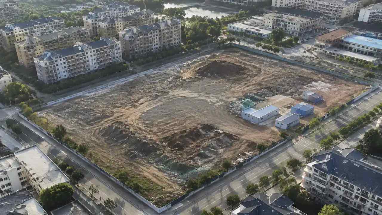
That is enough for a blockout. The scene already carries the awkward geometry, the narrow service road and the row of sheds behind the high street, which is the kind of context a hand-built base tends to smooth away.
The team then edits what matters. A building can be replaced, moved or rotated, and its height or type changed, so a proposal can be tested against the existing fabric without redrawing the whole block.
2.2 What do the layers let you test?
Hiding vegetation shows the street wall and the plot edges. Hiding buildings shows the ground, the water and the slope. Turning the terrain off is useful when the team wants to check footprints alone.
Use layer states as review modes rather than as decoration. A transport officer wants the ground and the routes; a designer wants the mass; a councillor wants the view from the street. One scene can serve all three if the layers are kept separate.
Keep a note of which layers were visible in each review. A comment made against a hidden layer is a comment about a different scene.
3 Arrange massing before detail
3.1 Which moves belong in the blockout?
Move whole volumes: shift a block, rotate a terrace, raise a corner. These moves are legible in a street view and easy to reverse.
Test the edge between the new district and the existing one. Most objections come from that seam, where a tall block meets a low row or a service yard meets a garden.
Leave materials and façade rhythm out. A blockout with brick textures invites the room to discuss brick, and the question about mass is lost.
3.2 How do you compare variants?
Keep one camera and one time of day. A variant shown from a better angle wins for the wrong reason.
Compare two or three options at a time. More than three and the room stops ranking them and starts describing them.
Give each option a name that says what it does: "lower edge, taller centre", "split block, wider street". Names survive the meeting better than Option A and Option B.
4 Test the street experience
4.1 What does eye level reveal?
Walk the main route at human height. A street that looks generous in plan can feel like a canyon, and a square that reads well from above can feel exposed.
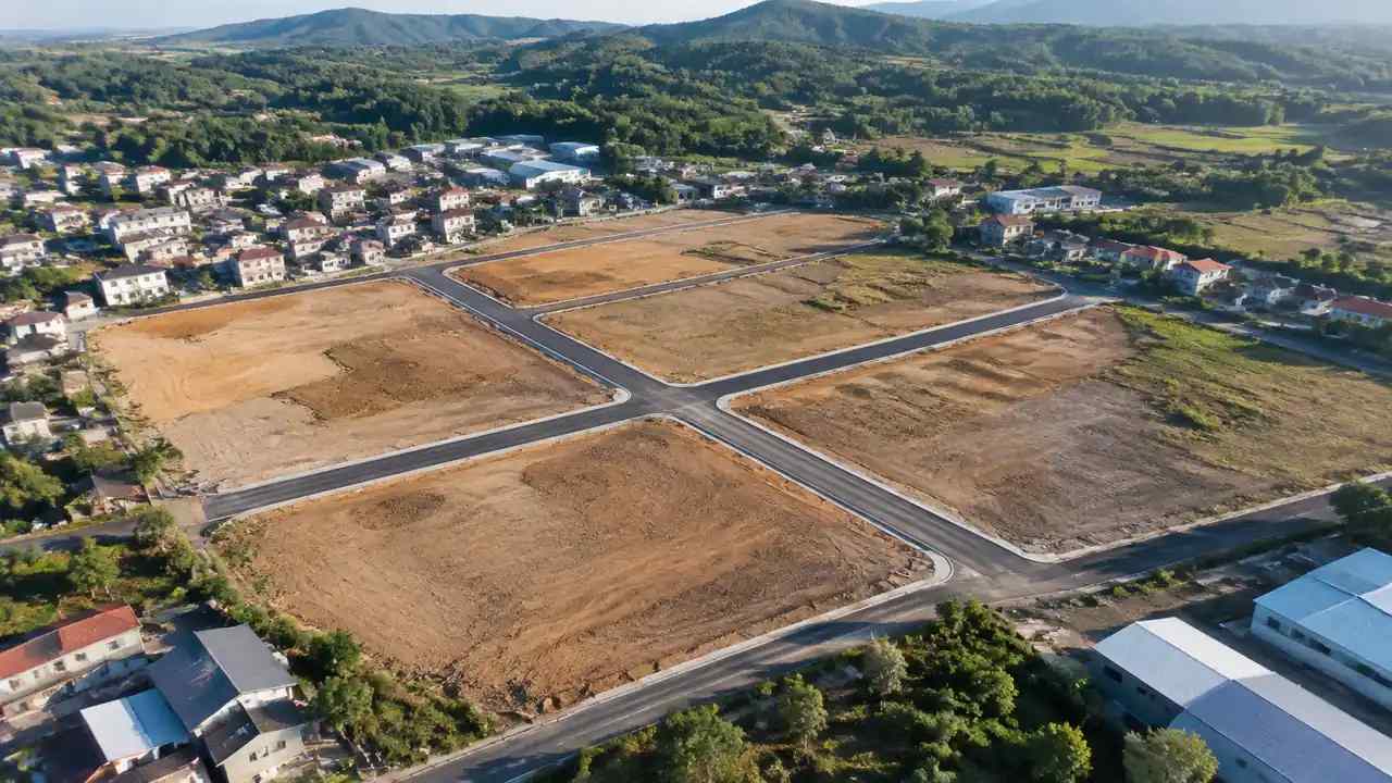
Check the corners. The turn from a main road into a side street is where a blockout usually fails, because the corner volume is doing too much or too little.
Look at the ends of views. A route that terminates on a blank wall is a different place from one that ends on a tower or a tree, and the difference is visible from inside the scene.
Note the route after dark as well. A blockout that works in daylight can leave a long unlit edge beside a car park, and the evening view is where that shows. Note the places where a door, a shop window or a lamp gives the street some life.
4.2 How do you keep the model light?
Use simple volumes and hide what the review does not need. A blockout does not require window detail or street furniture.
Keep the area tight. A smaller scene opens faster and invites more people to move through it during the session.
Export a snapshot for the note and keep the working scene separate. The snapshot records what was seen; the scene stays editable.
5 Hand the scene to design
5.1 What does the export carry?
GenAnywhere previews the scene and exports a general GLB with buildings, terrain, water and vegetation on separate layers. The design team can bring it into common 3D, BIM and GIS tools as a context reference.
What it carries is arrangement, not survey data. Heights are estimated and types are inferred, and the receiving team must check scale, units and orientation on import.
What it also carries is the site's irregularity. The odd plot, the level change and the back lane are the parts a clean site plan tends to lose.
5.2 What gets rebuilt downstream?
Anything the project touches gets rebuilt: the buildings on the development parcels, the streets that will be regraded, the landscape that will be planted.
Anything the project does not alter can stay as context. The opposite terrace, the church spire and the riverbank can remain approximate, because the design needs them to judge scale and view.
Mark the boundary between the two in the file. A scene that mixes proposed and contextual geometry without a key becomes a source of confusion in every later meeting.
6 Keep the blockout useful
6.1 When is a blockout finished?
When the question on the file has an answer the team can state in one sentence. "The district holds the floor space without a wall along the river" is finished; "it feels about right" is not.
When the options have been compared on the same camera. A blockout that was never compared is a single proposal wearing the clothes of a test.
When the next decision needs a different scale. A district scene cannot answer a courtyard question, and stretching it to try wastes everyone's time.
6.2 What should be written down?
Write the area drawn, the imagery date, the layer states used in each session and the camera positions. These are the details that let someone else reproduce a view.
Write the moves that were tested and the ones that were rejected. The rejected moves are often the most useful record, because they explain why the current arrangement looks the way it does.
Write the open questions. A blockout that ends with a clean list of unknowns is more honest than one that claims closure.
6.3 When do you start a new scene?
Start again when the boundary changes materially. Patching a district scene into a corridor study leaves the wrong base under the new question.
Start again when the imagery is out of date for the decision. Editing buildings cannot fix a base that no longer matches the ground.
Start again when the file has accumulated so many variants that nobody can tell which is current. A fresh scene with a clear question is cheaper than an archaeology exercise.
Draw the district in the GenAnywhere app and keep the blockout question on the same page as the file.
7 FAQ
FAQ-1 Is this a design tool?
No. It builds a site model from map data and allows simple edits to buildings, terrain and layers. Design happens in the team's own tools, using the exported scene as context. The platform is useful before design, when the question is arrangement rather than detail. Use it to test arrangement, then move to the design tool once the massing question is settled.
FAQ-2 How detailed should the blockout be?
Detailed enough to answer the question and no more. Massing, streets, open space and the edge conditions usually suffice. Detail beyond that slows the scene and shifts the discussion to façades before the arrangement is settled. If a reviewer starts asking about window rhythm, the blockout has done its job and the next stage should begin.
FAQ-3 Can we test more than one option?
Yes, by saving separate scene versions or exporting before each change. Keep one camera per comparison and name the options by what they do. Comparing more than three at once usually produces description rather than judgement. Save each version before editing and keep the camera fixed, or the comparison will drift.
FAQ-4 What happens to the scene after the blockout?
It becomes a reference for design and review. The general GLB can be imported into 3D, BIM and GIS tools, and the arrangement is checked against surveys and drawings as the project develops. The blockout itself is usually archived once the next scale begins. Archive it with the review note rather than deleting it, because the rejected options explain the chosen one.
See how a drawn area becomes an exported scene in the GenAnywhere workflow.
Content and technical notes
This article was prepared by the GenAnywhere team with AI-assisted drafting and human review.
Product features, formats, and availability change as the platform evolves; refer to the official GenAnywhere website for current details.
For technical questions or corrections, contact support@genanywhere.com.
Last reviewed: 2026-11-06.