
Urban planning site visits: three checks before a GenAnywhere review
Edges, levels and daily life: the things a walk tells you before a 3D scene can be trusted.
A site visit is not a preliminary to the real work; it is part of the evidence. A map-derived 3D scene can show the block and the street, but it cannot tell you where the pavement narrows under a wall or which corner people avoid after dark. Three checks on foot make the scene more useful and the review more honest.
1 Decide why you are visiting
1.1 What does the site show that a model cannot?
Surface, edge and use. The map shows a road; the visit shows the camber, the drain, the parked cars and the way people cross without waiting for the signal.
The visit also shows maintenance. A cracked wall, a blocked gully or a patch of standing water says something about how the place is looked after, and that affects how a proposal will be received.
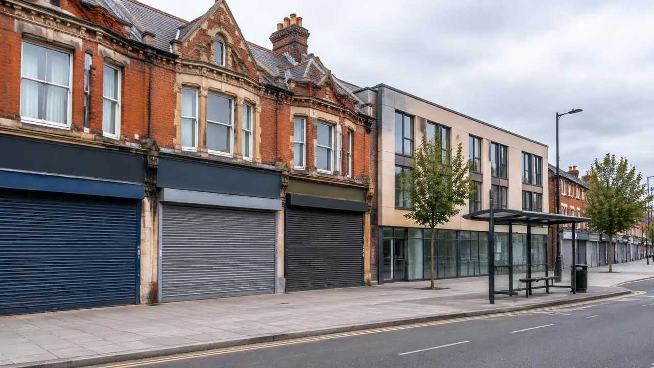
Finally, the visit shows the approach. The UN-Habitat programme on urban planning treats the street as part of the site, which is a useful frame for the walk. The opening view of a site from the bus or the station is part of the site, and no drawing reproduces it.
1.2 What should be checked before the model?
Check the boundary. A parcel that looks clear on the map may have a fence, a wall or a garden that the imagery does not resolve.
Look at the imagery date. If the scene is older than the last change on the ground, the visit is the chance to note the difference.
Check access. Find the ways in and out, including the service routes that nobody draws.
2 Check one: the edges
2.1 Where does the site meet the street?
Stand at each frontage and look both ways. The width of the pavement, the position of the kerb and the speed of the traffic decide whether the edge is a place or a barrier.
Note the corners. A tight corner with a wall and a bin is a different entrance from an open corner with a tree, and the difference is invisible in a footprint.
Test the crossings. A site may be close to a destination and still hard to reach if the crossing is in the wrong place.
2.2 What do the back edges show?
Walk the back lane or the service yard. These edges often carry the things a proposal needs: bins, deliveries, plant, fire access.
Check who overlooks them. A back edge with windows is safer than a blank wall, and the scene can show the windows but not the sense of enclosure.
Inspect the boundary treatment. A fence, a hedge and a level change all produce different relationships with the neighbour, and one of them is usually drawn.
Check the back gate. A service door that opens onto a residential lane is a different neighbour relationship from one that opens onto a yard, and the difference rarely appears on a plan.
3 Check two: the levels
3.1 How does the ground move?
Walk the slope from the top to the bottom. A gradient that looks mild in a plan can be tiring on foot and difficult for a wheelchair.
Look at the direction of the fall at each entrance. A door at the bottom of a slope has a different risk from one at the top, and the difference matters for drainage.
Note the steps and the ramps. A ramp that is out of the way is not an accessible route, whatever the drawing says.
3.2 What does a step change?
A single step can separate two groups of users. It can also mark a change of ownership, a change of surface or a change of use, and those distinctions matter to how the space works.
Test the thresholds at the buildings. A raised ground floor may be a flood measure or an accident of history, and the visit is where you find out which.
Inspect the kerbs at the crossings. A dropped kerb in the right place connects a route; a missing one breaks it.
4 Check three: the life of the place
4.1 Who uses the space now?
Sit for ten minutes at the bus stop or the corner. Note who passes, when and in which direction, and whether they stop.
Check the edges where people linger. A wall, a step or a patch of shade can be a social space, and a proposal that removes it removes something the drawings never showed.
Check who is missing. A square that is busy at noon may be empty for teenagers or older residents, and the visit should ask where those groups go instead.
Look at the times. A square at noon and the same square at nine are different places, and a review that imagines the daytime will miss half the use.
4.2 What will the model not show?
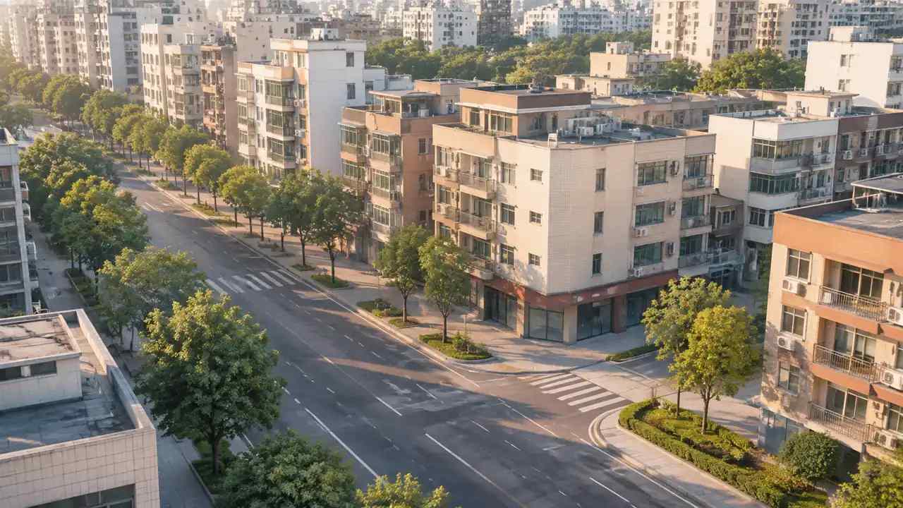
It will not show sound, smell or microclimate. The traffic noise at the frontage and the shelter at the corner are part of the site.
It will not show tenure or social use. A yard that looks empty may be a working space for a business, and a green that looks unused may be the one safe play area.
It will not show the maintenance regime. A neat square and a neglected one can have the same geometry and a different effect.
5 Bring the visit into the scene
5.1 How do you mark findings?
Mark the points on a plan or in the scene: the narrow pavement, the missing crossing, the step at the door, the place people gather. A point with a note is more useful than a paragraph.
GenAnywhere builds an editable site model from a drawn map area, with buildings, terrain, water and vegetation on separate layers, so a known change can be added before the review: a new wall, a removed shed, a proposed entrance. The scene then reflects what the visit found, and the layers let the team hide what the question does not need.
Keep the visit points in a separate layer or note. A model that mixes observation with proposal becomes hard to read.
5.2 What do you photograph?
Photograph the edges, the levels and the life. Take one wide view from each approach and one close view of each constraint.
Photograph the thing that will be argued about: the view from the neighbour's window, the width of the pavement, the state of the drain.
Record the direction and the time. A photograph without a location is an illustration, and it will not survive a challenge.
6 Close the visit properly
6.1 What goes in the note?
The date, the weather and the time of day. The route walked and the people present. The three checks and what each one found.
Add the questions the visit raised for the model: a building to replace, a route to test, an edge to draw.
Keep the note with the scene file. The next person needs to know what was observed and what was assumed.
6.2 When do you return?
Return when the season changes the picture. A route that works in summer may flood or darken in winter.
Return when the scheme changes the route. A new entrance or a closed lane changes how people move, and the change is worth observing.
Return after occupation. A completed scheme shows how the place actually works, and that evidence improves the next review.
6.3 When is a visit unnecessary?
When the site is inaccessible or unsafe. A remote review with clear limitations is better than a performative walk.
When the question is purely numerical. A density calculation does not improve with a site visit.
When the decision is already made and the visit is for appearance alone. That time is better spent on the next project, and the note should say so rather than dress the walk as research.
Take one photograph of the thing you expect to change. If the proposal removes a wall, photograph the wall and the view it creates; if it adds a storey, photograph the skyline it will enter. Those pairs are more useful in the review than a folder of general views.
GenAnywhere can hold the edited scene and the visit points in one place, so the comparison is available when the room asks what the place looks like now. The model remains context; the photograph remains evidence.
Walk the three checks, then draw the area in the GenAnywhere app and compare the scene with what you saw.
7 FAQ
FAQ-1 Can a site visit replace the model?
No. The visit gives surface, use and maintenance; the model gives massing, relationship and a shared view. The two answer different questions and work well together. The model shows arrangement; the visit shows condition, use and the things that are missing from the map. Keep both in the note. Use both.
FAQ-2 What should I take on the visit?
A phone with a map, a notebook and a measure. A laser measure is useful for door widths and pavement widths, and a simple sketch beats a photograph for recording relationships. A simple sketch of the edges and levels is often more useful than a hundred photographs. Write the time beside it.
FAQ-3 How do I record findings in the scene?
Use a point or a note on a plan, then add the known changes to the model before the review. Keep observations separate from proposals so the file stays readable. A photograph with a location and a direction is easier to use than a folder of unlabelled images. Name the view.
FAQ-4 Is a drone view useful?
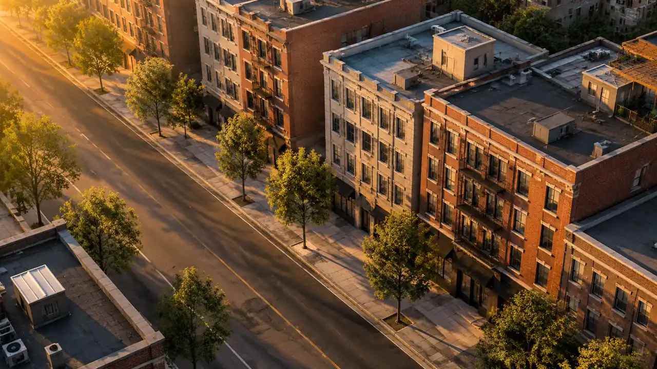
It can be, for roofs and large sites, but it is not a substitute for eye-level observation. The decisions that matter to people usually happen at the height of a person, not a camera. Use it for roofs and site extent, then walk the routes at eye level before making a judgement.
See how a site is drawn, edited and exported in the GenAnywhere workflow.
Content and technical notes
This article was prepared by the GenAnywhere team with AI-assisted drafting and human review.
Product features, formats, and availability change as the platform evolves; refer to the official GenAnywhere website for current details.
For technical questions or corrections, contact support@genanywhere.com.
Last reviewed: 2026-11-06.