
Urban planning zoning review: what to review in GenAnywhere
Using a 3D site scene to test what a zoning envelope produces, without turning it into a ruling.
A zoning review asks what the adopted code permits on a parcel, and that answer comes from the ordinance, the zoning map and the application. A 3D site scene cannot read the code for you. It can show what a permitted envelope would look like beside the street, which is often the part a table of numbers leaves unclear.

1 Separate the legal question from the visual one
1.1 What does a zoning review actually decide?
It decides whether a proposed use and form fit the rules: use class, height, setback, lot coverage, floor area and parking. Each of those is defined in text and measured on a survey, and each has an interpretation that belongs to the planning officer or the board.
Keep that list in front of the team. A visual review that drifts into a compliance opinion creates a record nobody can defend, because the scene was never built to measure a setback.
The review also decides something quieter: whether the result is acceptable in its context. That is a judgement, not a calculation, and it is where a 3D scene earns a place.
1.2 What can a 3D scene add?
It adds the view from the street, the shadow of a mass on a neighbour's façade and the way a taller building meets a lower row. Those are relationships a table cannot express, and they are the ones residents raise at a hearing.
It also adds a common object for a meeting. When the applicant, the officer and the neighbour are looking at the same corner, the argument moves from "too big" to "too tall at this edge", which is a question the code can answer.
What it adds is context, not authority. The scene supports a conversation; the determination stays with the people who hold it.
2 Read the site against the code
2.1 Which site facts matter before modelling?
Start with the parcel boundary, the street edge and the neighbours that share a wall or a view. Then add the constraints the code names: a flood line, a slope, a heritage designation, a right of way.
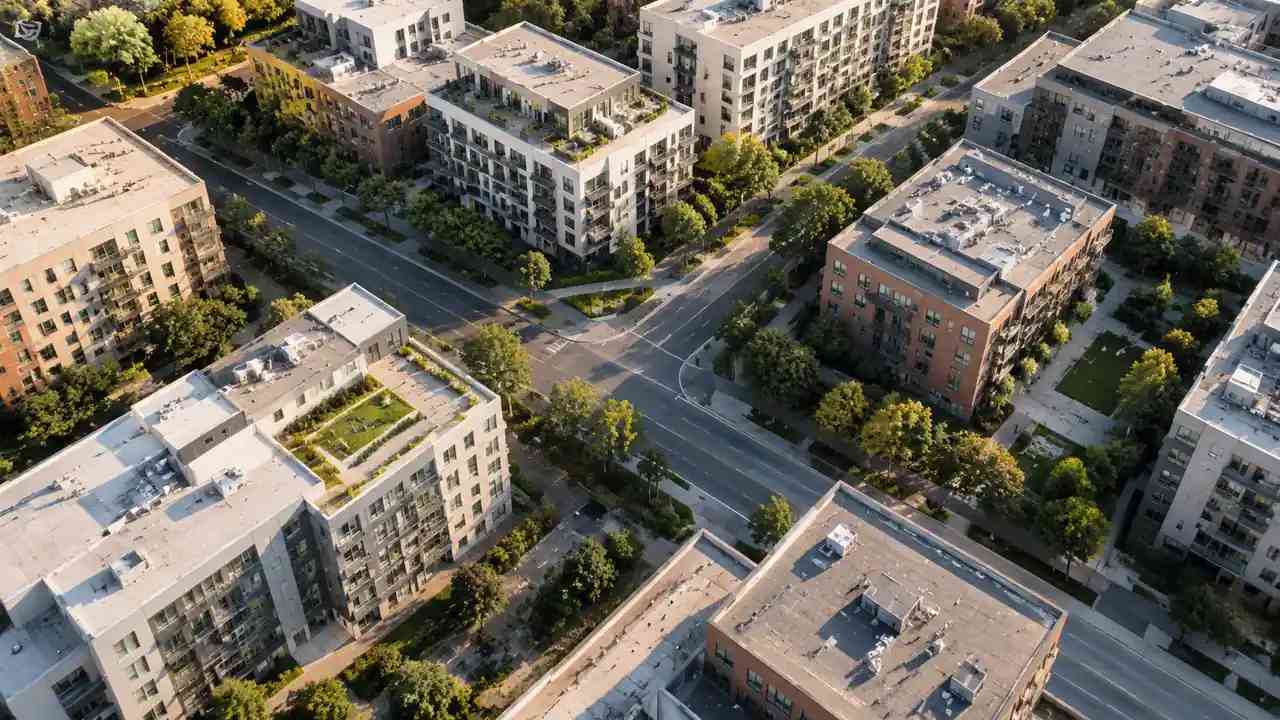
GenAnywhere builds an editable model from a drawn map area, with buildings, terrain, water and vegetation on separate layers. The footprints and estimated heights give a quick read of the block, and the layers let the team hide what the question does not involve.
Check the model against the zoning map before drawing conclusions. A parcel that looks like one lot in the scene may be two in the register, and a building that looks existing may be approved but unbuilt.
2.2 How do you test a massing envelope?
Build the envelope the code permits, not the scheme the client wants. Set the height, the setback and the coverage, and look at the result from the opposite pavement and from the neighbour's window.
GenAnywhere keeps the edits simple: a building can be replaced, moved or rotated, and its height or type changed, so a test envelope can be adjusted without rebuilding the block.
Then move one variable at a time. Raise the height by a storey, pull the façade back, or cut a notch at the corner. Each move shows which rule is doing the work in the street view, and that is useful when the applicant asks for relief.
Keep the tests in separate scene versions. A single model that carries five variants becomes unreadable, and the meeting spends its time finding the right layer instead of judging the form.
3 Show the gap between code and place
3.1 Where do districts look different from the code?
Many districts were built before the current code, and their streets reflect older rules. A code that requires a six-storey frontage may sit beside a row of two-storey shops, and the envelope that complies will still look out of place.
A 3D scene makes that gap visible. The team can show the compliant envelope beside the existing row and let the room decide whether the difference is acceptable or whether the code needs a transition.
This is not an argument against the code. It is a way to see what the code produces before a permit is issued, which is cheaper than discovering it during construction.
3.2 How do you present an option that does not comply?
Present it as a question, not a proposal. Show the compliant envelope, then the variant, and label the rule that each one breaks.
Keep the visual honest: same camera, same lighting, same surrounding context. A variant rendered at a flattering angle invites the room to compare the rendering rather than the form.
Record the officer's reaction beside the image. A comment like "the setback relief is plausible but the height is not" is the output of the session, and it belongs in the file.
4 Work with the review team
4.1 Who owns the interpretation?
The planning officer owns the reading of the code, and the applicant's consultant owns the argument. The model owner owns neither, which is why the scene should be presented as a shared illustration rather than a technical finding.
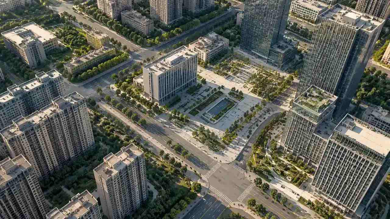
Invite the officer to the model session, not just to the hearing. An early look at the envelope often surfaces an interpretation issue while it is still cheap to redraw.
Keep the lawyer and the surveyor in their lanes. Legal advice and measured dimensions are separate inputs, and the scene should not be asked to supply either. The American Planning Association publishes material on zoning practice that can help the team frame the question before the session.
4.2 How do you record the visual test?
Use one page per test: the rule under review, the envelope tested, the camera position and the observation. Add the scene version and the date of the imagery.
Write observations as comparisons. "The sixth storey reads as a separate building from the opposite pavement" is more useful than "the mass is too tall", because it says what produced the impression.
Store the page with the application file. Two months later, the image alone will not explain which rule was in play.
5 Carry the scene into the application
5.1 What belongs in the submission?
A context view from the public realm, a view from the most affected neighbour and a simple massing diagram. Label each one as an illustrative scene and state the source of the base geometry.
GenAnywhere previews the scene and exports a general GLB for use in 3D, BIM and GIS workflows. The applicant's team can bring that file into its own drawing set, provided someone checks the scale and the coordinate assumptions on import.
Do not present a generated scene as a survey drawing. The platform estimates heights and infers building types, and a submission that hides those limits will be challenged.
5.2 What should the drawing set keep?
Keep the measured plan, the survey and the code analysis as the authoritative documents. The scene is a companion that explains the spatial consequence of those documents.
Keep a record of what was edited. If a building was replaced or its height changed to test a variant, the file no longer matches the imagery, and the note should say so.
Keep the camera positions. A hearing often turns on a view, and a view that cannot be reproduced is a weak piece of evidence.
6 Keep the review proportionate
6.1 When is a model unnecessary?
When the question is a use class or a floor area calculation, a table and a plan will do. A model adds production time without changing the answer.
When the parcel is flat, the neighbours are identical and the proposal repeats an approved type, the street view is already known. Spend the effort on the drawings instead.
When the dispute is about title or ownership, geometry is irrelevant. Resolve the boundary before anyone opens a 3D tool.
6.2 What are the common misreads?
The most common is treating the scene as current. Imagery has a date, and a site that changed last spring may still show the old building.
The second is treating estimated heights as measured. A storey added by the estimator can make a compliant envelope look taller than it is, and the error is hard to see in a perspective view.
The third is treating a layer as complete. Vegetation, street furniture and boundary walls are often simplified, and a missing wall can change how a yard reads.
6.3 When should the team stop modelling?
Stop when the envelope question is answered. More views do not make a determination more correct.
Stop when the room starts debating the rendering instead of the rule. That is a sign the image has become the subject.
Stop when the officer has what they need. A model produced after the decision is a record, not an input.
Draw the parcel and its neighbours in the GenAnywhere app before the next pre-application meeting.
7 FAQ
FAQ-1 Can GenAnywhere determine zoning compliance?
No. It has no access to the adopted ordinance and makes no legal determination. It builds a visual site model from map data so a team can see massing, access and context. Compliance is decided by the planning authority using the code, the survey and the application. Keep the scene's assumptions, the code extract and the officer's view in one file so the reasoning can be followed.
FAQ-2 Does the model show permitted height?
It shows estimated heights of existing buildings, not the height the code permits. A team can build a test envelope at a chosen height, but the figure must come from the ordinance. Label any test volume as an assumption. Check the figure against the schedule and the survey before the envelope is shown to anyone outside the team.
FAQ-3 Can we use the scene at a public hearing?
Yes, as an illustrative view with its limits stated. Label the imagery date, the estimated heights and any edits. Do not present it as a survey or as proof of compliance, and be ready to reproduce the camera position. Bring a printed view as backup, since a venue screen may fail and the argument should not depend on it.
FAQ-4 What if the site changed recently?
Check the imagery date before anything else. If the change matters, use a recent photograph, a site visit or a survey to update the picture, and note the difference. The scene can still provide surrounding context, but it should not be the evidence for the change itself. If the change is central to the case, commission a measured survey rather than relying on imagery of any kind.
See how a site moves from map selection to export in the GenAnywhere workflow.
Content and technical notes
This article was prepared by the GenAnywhere team with AI-assisted drafting and human review.
Product features, formats, and availability change as the platform evolves; refer to the official GenAnywhere website for current details.
For technical questions or corrections, contact support@genanywhere.com.
Last reviewed: 2026-11-06.