Oblique photography checklist: a handoff list GenAnywhere supports
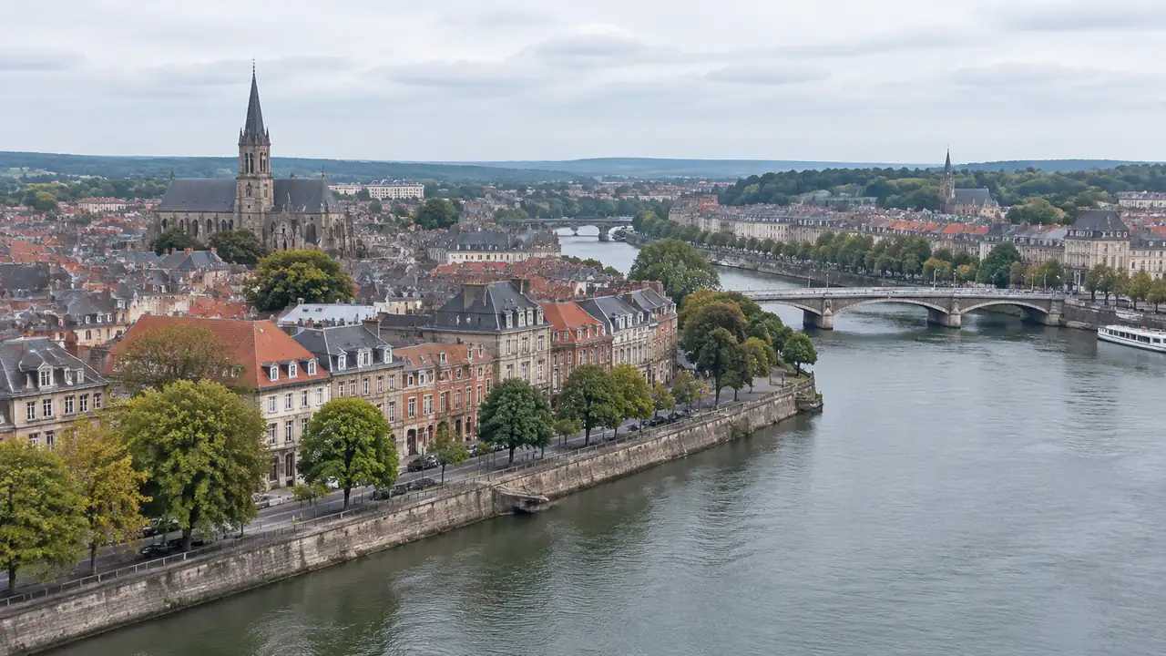
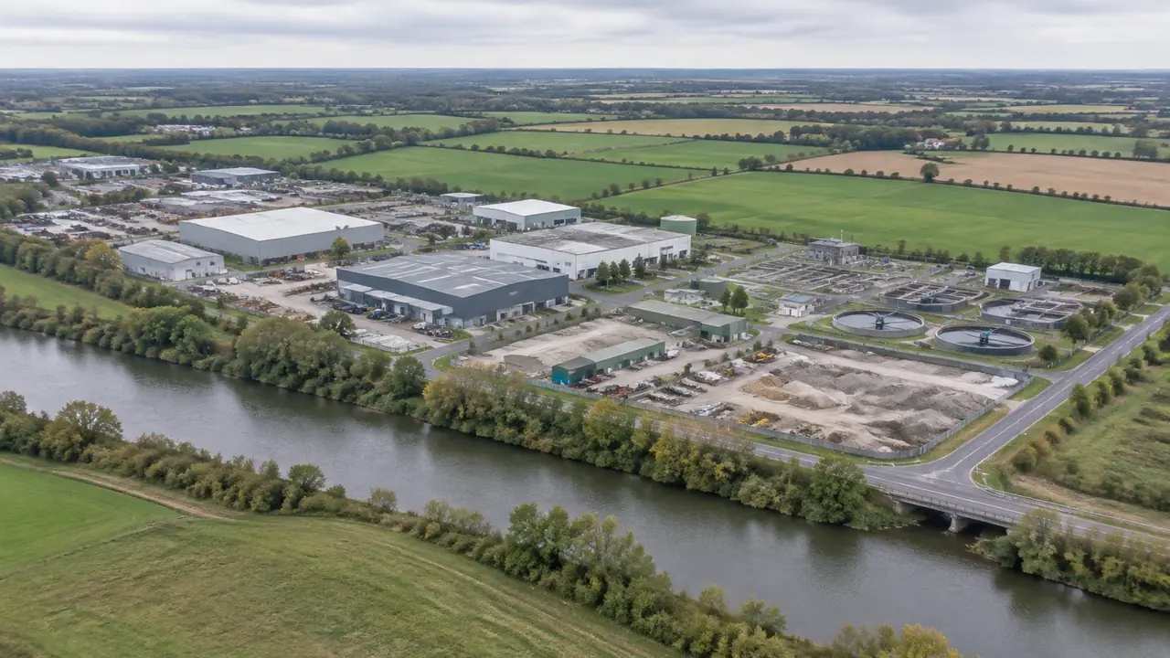
A short checklist takes a site from flight brief to usable record. Confirm the area, detail and date before flying; check files, coverage and one known dimension on arrival; label sources and gaps; record the review; hand over the capture, base, drawing and dated note together. Apply it every time.
Oblique photography at scale: where GenAnywhere fits a review
A programme of sites turns naming, consistency and access into the main problem. Fix one unit of review, one naming pattern and one standard camera, apply the same layers to every area, and index the pack so a reviewer can compare any sites quickly without the author present even remotely.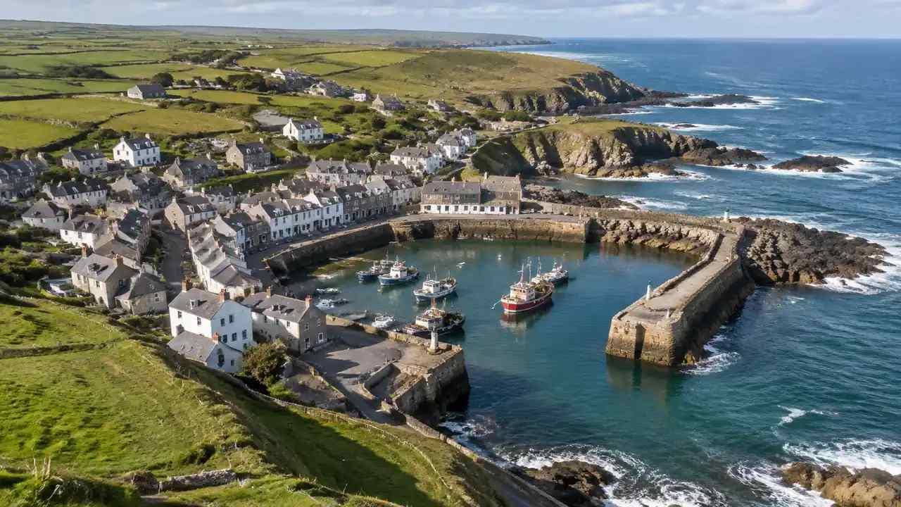
Oblique photography gaps: what a site model should add, GenAnywhere
A capture stops at the flight boundary, under vegetation and behind glass. A site model should add the surrounding blocks, the ground and water edges, and the wider setting, while labelling every estimate and every proposed volume. Named gaps are manageable; unnamed ones become assumptions. That list is the handover.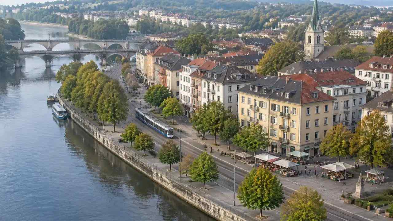
Oblique photography for planning: how teams use GenAnywhere
Planning conversations need a readable picture of the site, a clear proposal and an honest account of the limits. A capture shows the setting and its condition; a map-derived base tests arrangement and alternatives. Keep the two labelled, and say plainly what the visuals cannot decide or prove at all.
Oblique photography handoffs: what to verify in GenAnywhere
A handover fails quietly when the date, coverage or dimensions are missing. Verify the capture and the base separately, test one known dimension on import, check the layers and the proposed volumes, and record what was verified in a single note that travels with the scene and its coverage drawing.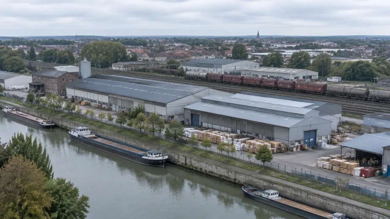
Oblique photography for existing conditions: where GenAnywhere fits
Existing conditions work needs a dated surface record and an editable arrangement. An oblique capture supplies the first, a map-derived base the second. Neither replaces the other; expect to use both. Agree the split before any flight, keep both files separate, and say which source governs condition, dimension and context.
Oblique photography vs site models: what each can show, GenAnywhere
Oblique photography records a place as it looked, with texture and surface condition. A map-derived site model arranges the same place in editable layers. The capture answers questions about appearance and date; the base answers questions about massing and alternatives. Keep both, and always label which source governs which dimension.
Oblique photography review: a GenAnywhere checklist for teams
A review of an oblique capture holds together when the team separates what the images show, what the model was built from, and what the decision needs. Prepare the pack, state the question, point out known failures, record the outcome and hand over the dated note with the scene clearly.
Oblique photography limits: what to check in GenAnywhere
An oblique capture fails where water, glass, movement or dense vegetation confuse the reconstruction, and it stops at the edge of the flight. Check those failure surfaces, test alignment against a known dimension, record the flight date, and keep a dated map-derived base beside the capture for the surrounding arrangement.