Lifting plans: how GenAnywhere sets the base scene
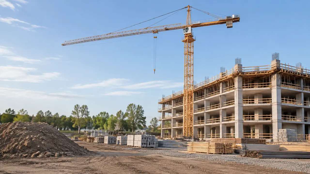
GenAnywhere supplies no crane, load, radius or site rules for a lifting plan; it supplies the ground the lift happens on. That base suits arrangement questions about access, laydown and the yard seen from the gate. Capacity, clearance and ground bearing checks stay with the plan; export a labelled GLB.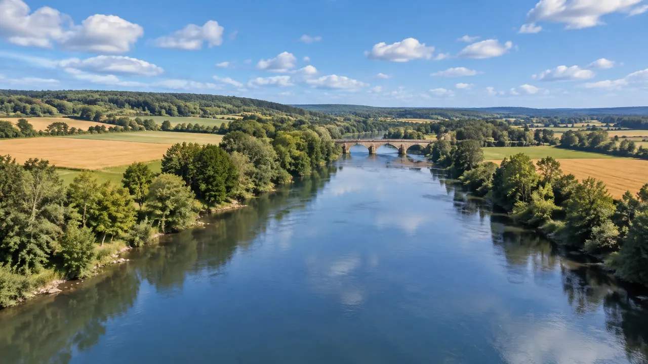
Water effects: what GenAnywhere lets teams adjust
Water is mapped geometry, so teams adjust the view, the buildings on the bank and the layers shown, not the water. Level, flow and velocity belong in a hydraulic tool; hiding water reveals the bed, a reading aid rather than a survey. Export a GLB with a dated handover note.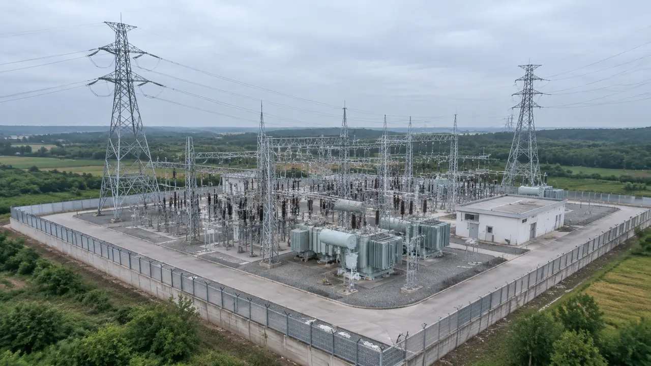
Grid planning reviews: where GenAnywhere sets the base scene
A grid base gives a planning review one shared picture: terrain, water, vegetation and building masses, generated from map data. Towers, conductors, switchgear and network models are absent by design. Keep it neutral by placing design in a separate group, version the file, and state the imagery date when shown.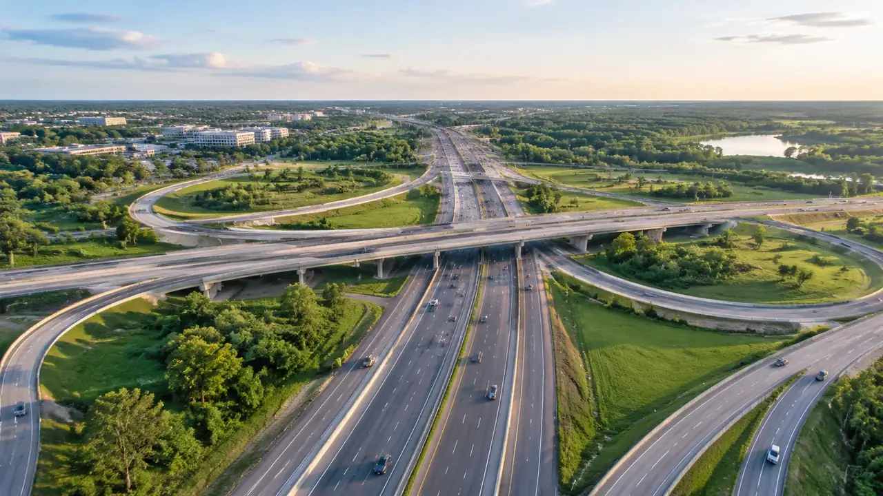
Can GenAnywhere model overpasses? What the limits are
Overpasses are not generated. GenAnywhere produces the site a crossing occupies: terrain, buildings, vegetation and water, all editable. Decks, piers, span layouts and structural checks come from the bridge model and are placed after export; use blocks for early comparisons, state the imagery date, and keep clearance checks with engineers.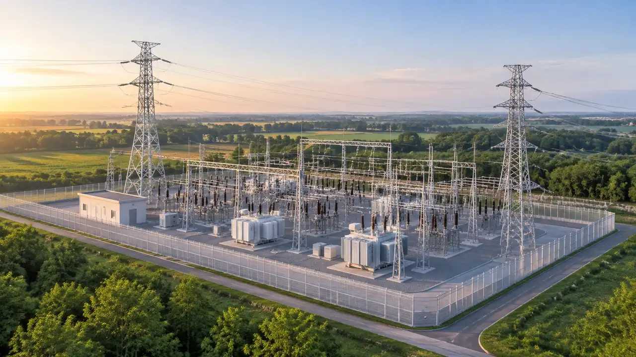
Power grid edits: what GenAnywhere lets teams adjust
Grid edits cover buildings and layers: teams can replace, move, rotate and resize control buildings, and show or hide terrain, buildings and vegetation. Towers, conductors, switchgear and the electrical model stay in line design and network studies. Correct the site, record frames, then export a GLB for the design team.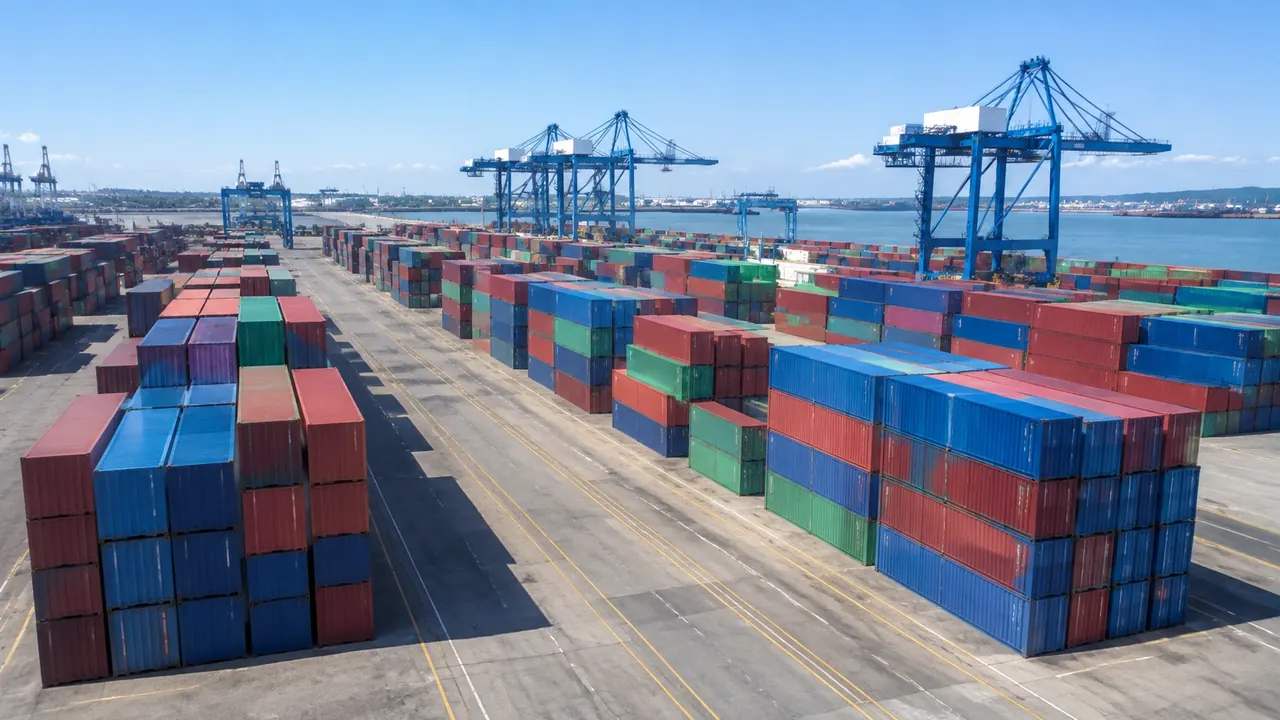
Can GenAnywhere model containers? What the feature requires
Containers are cargo, so GenAnywhere does not model them. It generates the yard they sit in: ground, sheds, gates and boundary, all editable. A container view needs a module set and a placement convention; stack planning, capacity figures and cargo data stay in terminal systems, so list what to add.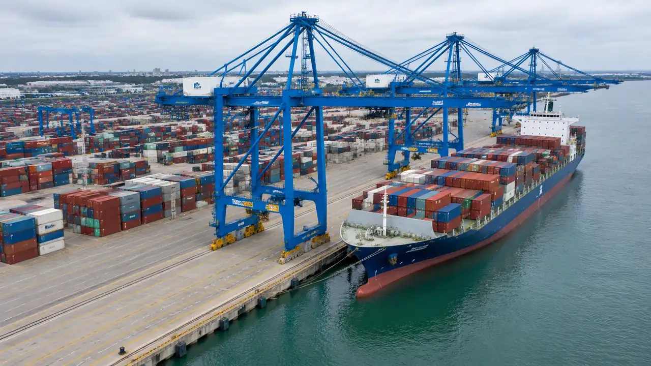
Crane placement: where GenAnywhere sets heading and height
GenAnywhere sets no crane heading or height, because cranes are not generated content. The scene fixes ground, buildings and layer views; heading and jib height are transforms applied to a crane asset in the receiving tool. Capacity, radius and clearance checks stay with the lift plan, so record the heading.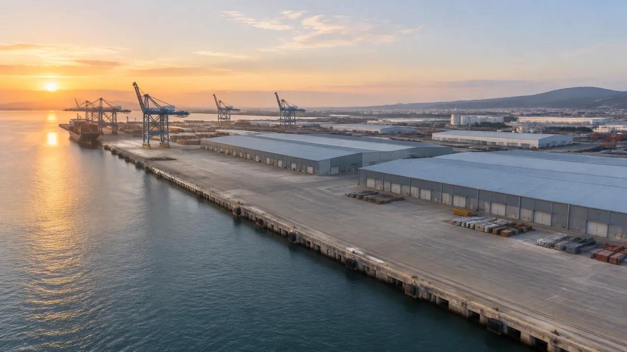
Port scenes: how GenAnywhere starts from a map
A port scene starts with a map extent. GenAnywhere generates terrain, the water edge, buildings and vegetation inside that frame, with no drone flight needed. Cranes, containers and mooring equipment stay outside, as does any depth or tide data; correct the gatehouse, state the imagery date, then export a GLB.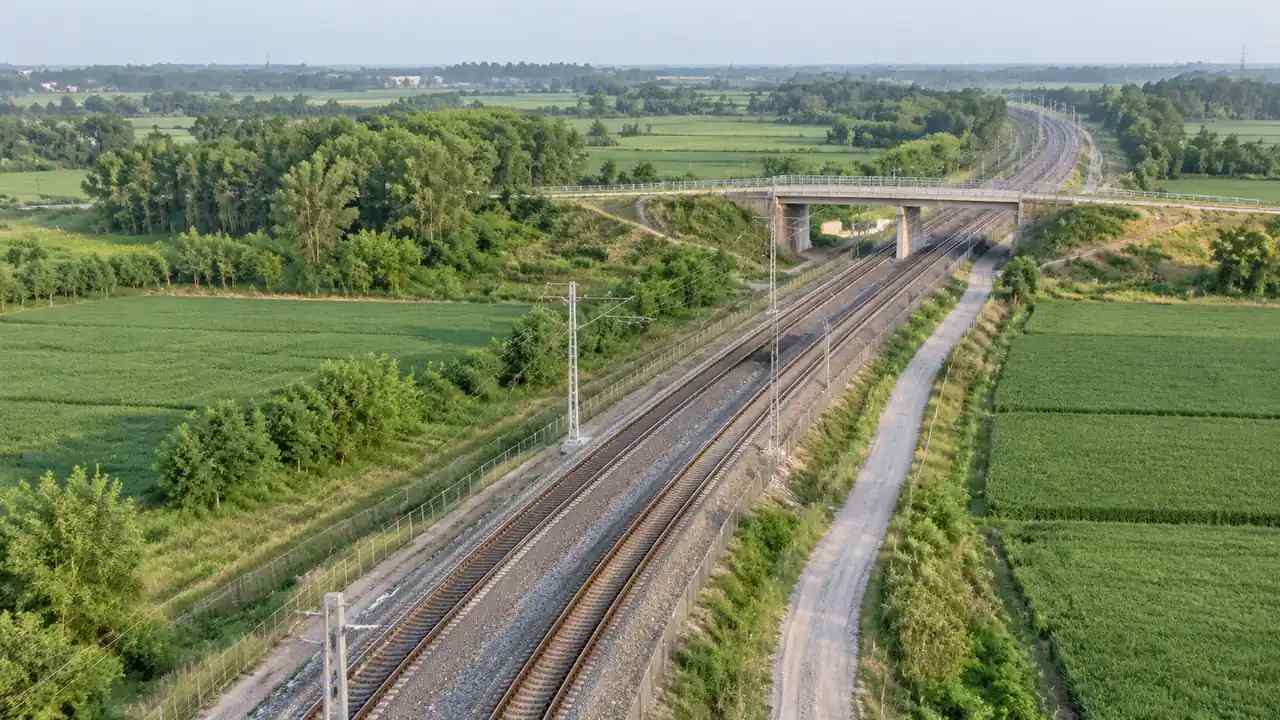
Railway edits: what GenAnywhere lets teams adjust
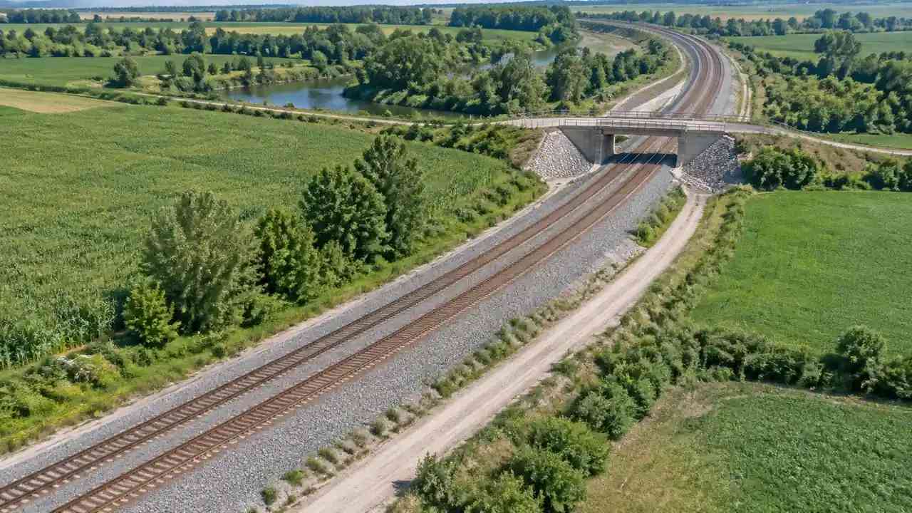
Rail corridor edits reach buildings and layers. Teams replace, move, rotate and resize buildings, and show or hide terrain, buildings and vegetation. Track, signalling, property lines and clearance checks stay in design and legal documents; correct buildings the audience knows, note each change, then export a GLB with that record.