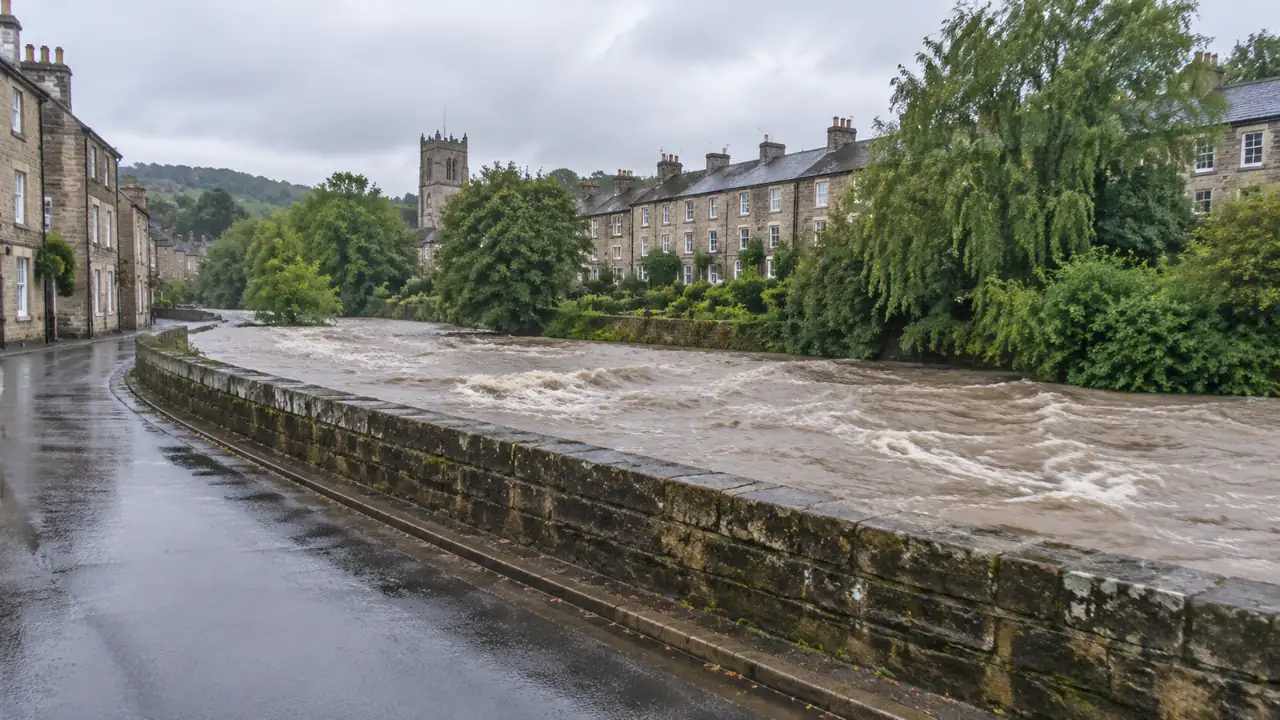
Flood system capacity: what should GenAnywhere compare?
A site model can compare a flood corridor's shape, the buildings close to it, and the crossings between banks. It cannot calculate capacity or replace official regional maps. Use it to show geometry and exposure, then hand the flow and rainfall questions to the hydraulic engineers who own the study.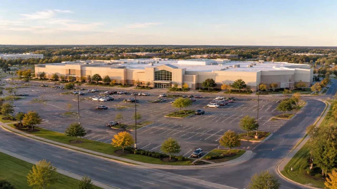
Mall redevelopment: can you test a parking lot in GenAnywhere?
You can test a parking lot as a form question: place a building block, watch the remaining aisles, and compare surface and structured options. The model shows land and circulation, not demand, and not a space count. Pair it with a parking study and local rules before presenting a scheme.
Campus heating hub: what site layers should GenAnywhere show?
A campus heating hub reaches beyond its own walls through pipe corridors, delivery access, and service yards. Showing the plant with buildings, terrain, and vegetation in one model makes those relationships legible. The model sizes nothing and proves nothing; it frames the questions the estates and engineering teams must answer.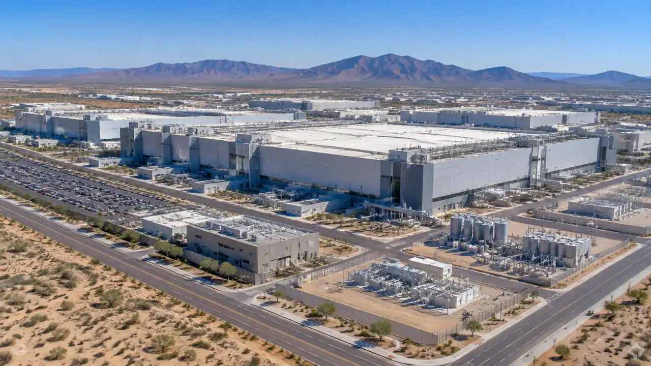
Semiconductor fab site: what should teams check in GenAnywhere?
A fab search narrows quickly once the site is visible. Check whether the pad holds the building block and support space, whether expansion land is free, how freight and staff arrive, and where the ground changes. GenAnywhere gives a shared starting view, not a site certification. Engineering studies still decide.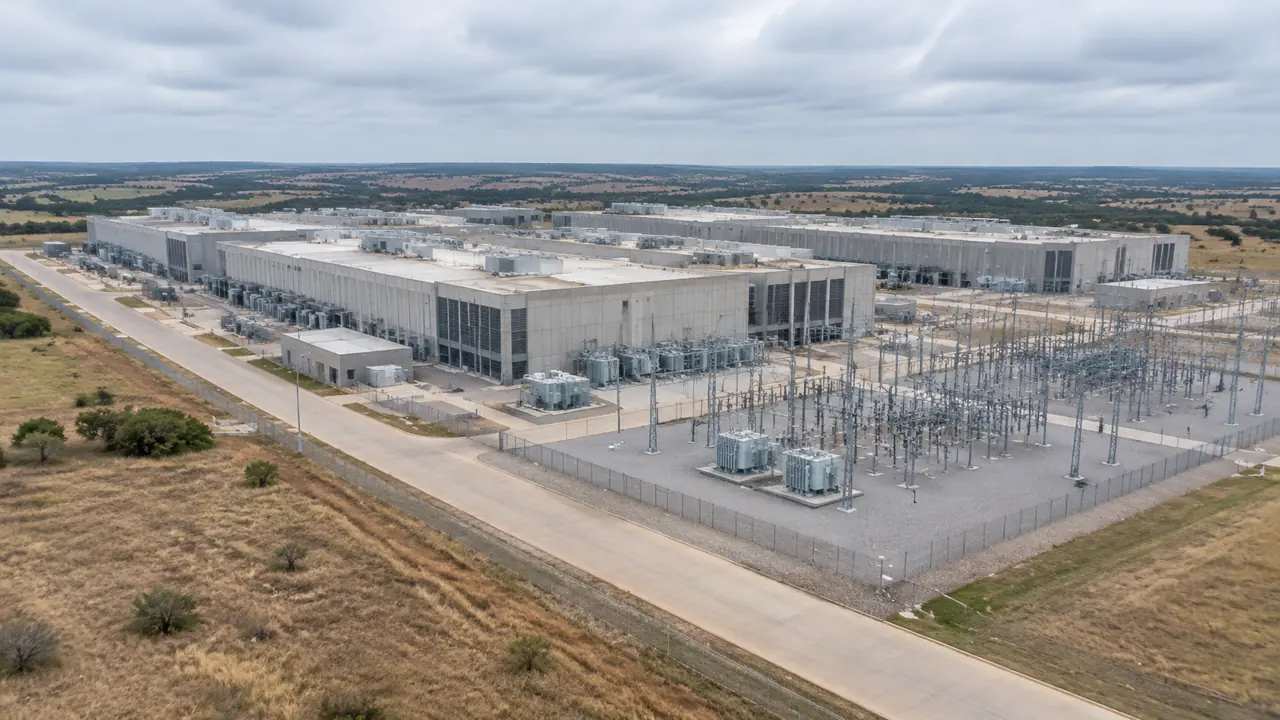
Data center campus: what should GenAnywhere map before review?
A data center campus review starts with the land: parcel edges, utility yards, access routes, low ground, and buffers. Mapping those layers in one editable model lets a team test layout questions early. The model is site context, not a capacity, drainage, or traffic study. Specialists still own the engineering.
Zoning rules: how do you compare blocks in GenAnywhere?
Zoning rules describe an envelope, not a building. Comparing blocks means holding the rule set steady while changing massing, frontage, and open space. A generated 3D block model makes those differences visible early, and its estimated heights and types should be checked against the adopted code before any formal review.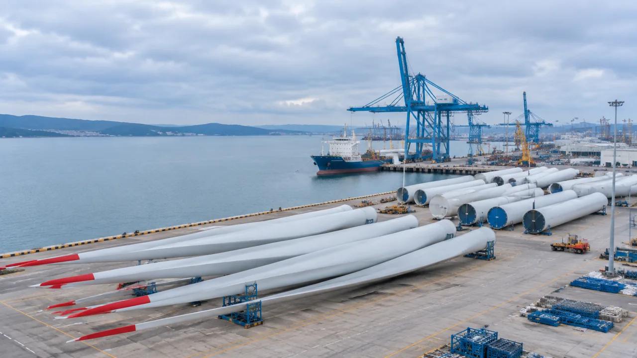
Offshore wind port: what can GenAnywhere help preview?
An offshore wind port must move very large turbine components through a tight waterfront while respecting nearby communities and marine users. GenAnywhere builds an editable 3D view of the port and landside connections from map data, helping port teams compare berth, laydown, and access options before the engineering studies begin.
Student housing vote: what should planners compare in GenAnywhere?
Before a student housing vote, planners and council staff need a consistent comparison of candidate sites, walking access, scale, and neighborhood edges. GenAnywhere builds an editable 3D view of each parcel and its surroundings from map data, helping staff test walking routes, compare massing options, and publish a legible record.
Contech on a Foster City campus: what GenAnywhere adds
A construction-technology pilot on a busy working campus must test the tool without disrupting daily campus operations. GenAnywhere provides an editable 3D campus view from map data, helping the pilot team define boundaries, plan phasing and laydown, compare access routes, and hand a short written record to the facilities team.