Sacramento flood works: what should a levee review show, GenAnywhere?
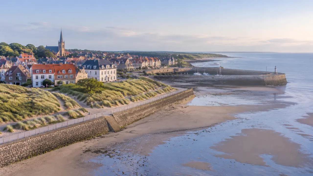
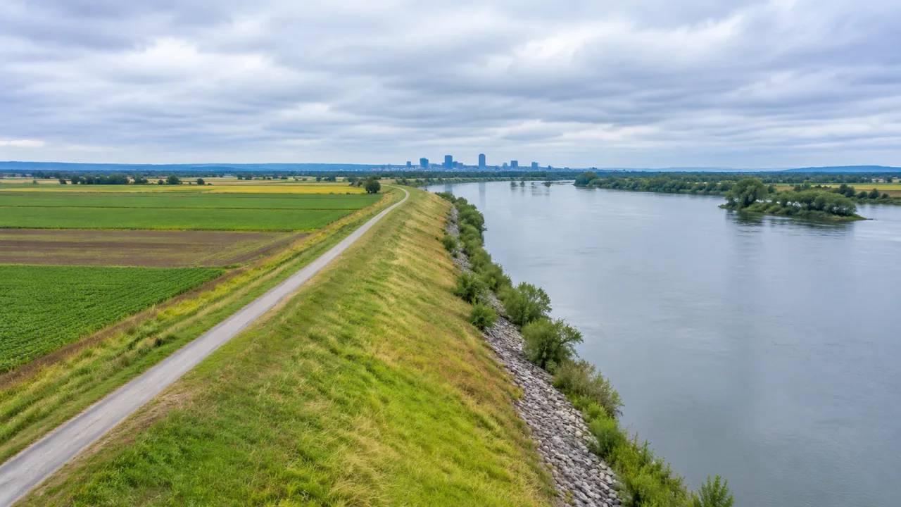
A levee review should show alignment, maintenance access, waterside vegetation, nearby local land uses, and the neighborhoods that depend on the system. GenAnywhere assembles an editable 3D corridor scene from map data, helping review teams compare options, frame public questions, and hand a clear, concise brief to the engineering team.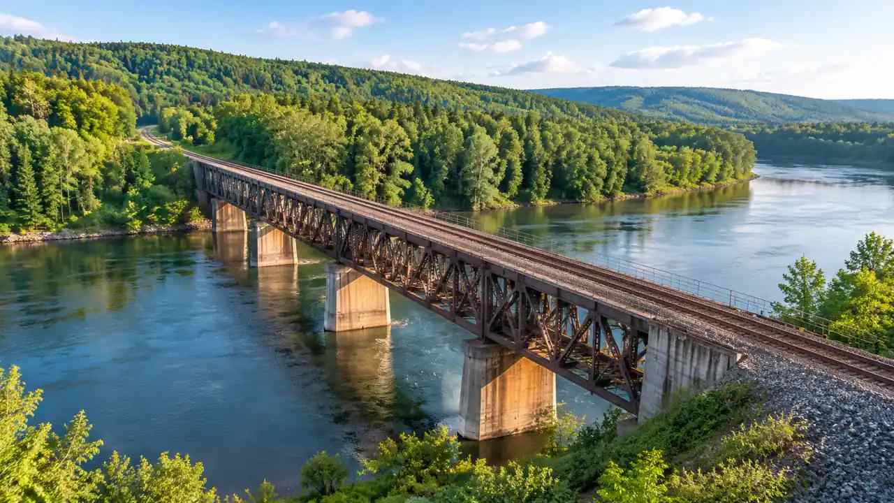
Rail bridge handover: what should a GenAnywhere corridor check cover?
A rail bridge handover covers the whole corridor, not the span alone. Teams need to record all assets, interfaces, access, drainage, vegetation, and open items. GenAnywhere builds an editable 3D corridor view from map data, giving operators, designers, and inspectors a clear shared base for review and later field inspections.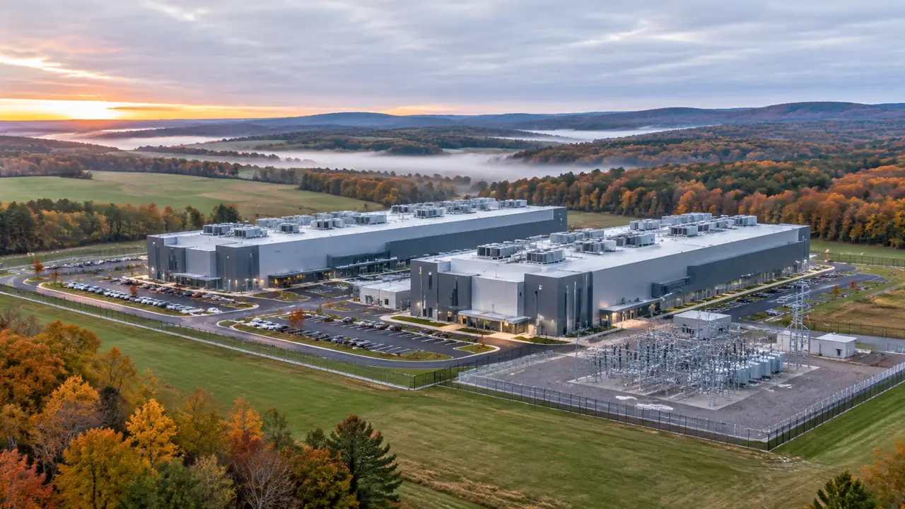
Loudoun data center pause: how do teams use GenAnywhere?
When a county pauses new data center applications, site teams can still compare approved and pending parcels, document assumptions, and prepare clearer answers. GenAnywhere provides an editable 3D campus view from map data, helping project teams study access, buffers, surrounding land, and hand context to the engineers and legal counsel.
Renaissance Center redo: what can GenAnywhere clarify?
A downtown landmark redo raises questions about massing, river access, public space, and phasing before design begins. GenAnywhere builds an editable 3D site model from map data, helping teams compare options, mark assumptions, and give planners, local stakeholders, and designers a shared base for the early review, coordination, and handover.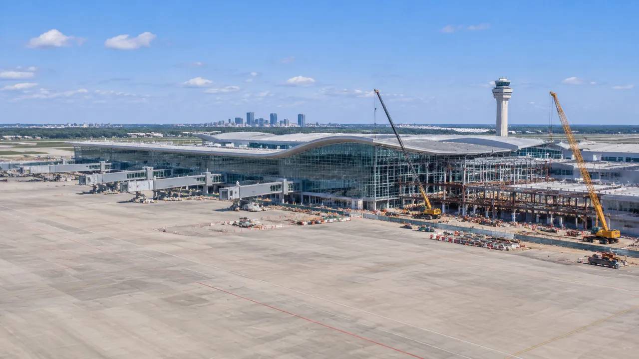
Terminal expansion delivery: a site-planning method with GenAnywhere
Terminal expansion depends on protecting passenger flows while construction proceeds. This guide covers mapping the operating terminal, comparing pier and satellite options, checking apron geometry, separating construction traffic, and phasing by gate group. GenAnywhere provides an editable 3D site scene for early review, while airside design remains with the airport.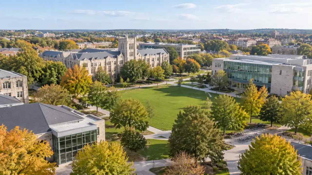
University campus zoning: where GenAnywhere enters
University campus zoning works best when growth follows the routes and open spaces people already use. This guide covers setting the campus edge, testing infill and new wings, placing housing and services, planning movement, and phasing around the academic year. GenAnywhere provides a shared 3D site scene for comparing options.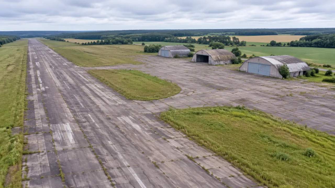
Airport-to-park plans: shaping sites with GenAnywhere
Airport-to-park plans reuse runways, hangars, and open land that were never designed for public use. This guide covers mapping airfield geometry, confirming aviation constraints, connecting the site to the city, shaping open space, and phasing the release of land. GenAnywhere provides an editable 3D site scene for comparing reuse options.
New FEMA flood map review: where GenAnywhere adds value
A new FEMA flood map raises questions about what changed and what that means locally. This guide shows how to compare old and new map panels, place the boundary on terrain, test building shifts, and separate map questions from design questions. GenAnywhere supports the site discussion without replacing official maps.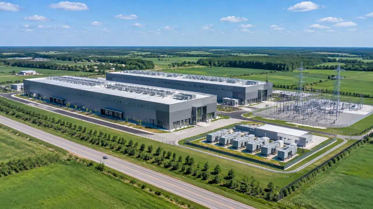
Data center zoning: comparing sites with GenAnywhere
Data center zoning depends on power, fiber, access, buffers, and room to grow. This guide explains how to screen a region, compare parcels on equal terms, plan water and drainage, and stage future halls. GenAnywhere offers an editable 3D site scene for testing layouts before the zoning application is written.