
Mill site master plan: how GenAnywhere starts the work
Mill site master plans start with the history of the land: rail spurs, water edges, silos, and contaminated ground. This article explains how to test reuse against demolition, read the flood line, plan public access, and phase cleanup. GenAnywhere provides an editable 3D site scene for comparing options before engineering.
Hospital campus redevelopment: where GenAnywhere fits
A hospital campus redevelopment succeeds when service routes, phased construction, and building swaps are tested together. This guide shows how teams can map constraints, compare bed tower options, and stage vacant parcels. It explains where GenAnywhere fits: an editable 3D site scene for review, not a survey or construction document.
Bus rapid transit lessons from LA G Line: a GenAnywhere review
The LA G Line shows how a dedicated busway reshapes blocks, crossings, and station access. Corridor teams should count driveways, measure intersection complexity, and test platform layouts inside one block context. A 3D site model shows the station block; travel time, ridership, and service planning remain with the transit agency.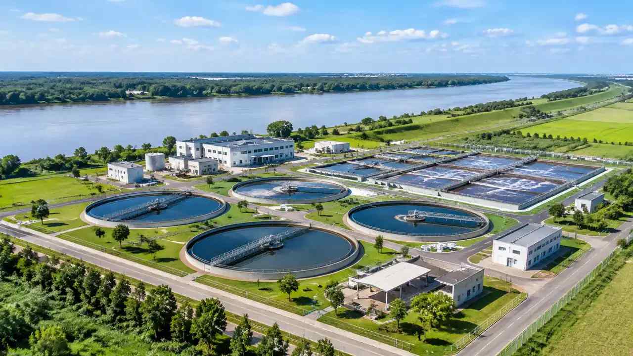
Water reuse in Fort Worth: a site review method with GenAnywhere
Water reuse review begins with supply, demand, and the pipeline route. Screen plant sites for buffers, access, and drainage, map every crossing and easement, then compare two route options on one page. A 3D site model shows the facility in context; treatment design and hydraulics belong to separate engineering studies.
Federal housing funds: a mayoral site planning method with GenAnywhere
Federal housing funds favor sites that are ready, not merely eligible. Screen parcels for grade, utilities, access, title, and floodplain status, score them with one published sheet, and show each site in neighborhood context. A model supports the comparison; eligibility and appraisal stay with local program staff and licensed professionals.
Gas plant sites: how owners compare layouts with GenAnywhere
Gas plant site reviews separate fixed elements from proposed changes. Read permits against the current plan, test stack setbacks in section, and check heavy equipment and emergency access before comparing repowering options. A 3D model shows layout and context. It does not replace hazard analysis, plant design, or permit review.
Data center interconnection: how site teams review with GenAnywhere
Interconnection decisions depend on utility capacity, while site reviews depend on land. Keep queue status, fiber routes, and water corridors on one sheet, compare parcels under identical assumptions, and state which constraints the team cannot change. A site model shows buffers and access; it does not check available grid capacity.
Transit planning for the LA 2028 Games: what GenAnywhere adds
Los Angeles Games transit review starts at the station exit, not the venue gate. Time the last block, map curb conflicts, and test two access layouts inside one block context. A 3D site model shows the walk and the staging footprint; ridership and service planning stay with the transit agency.
Lidar tree canopy and plan updates: Cambridge review with GenAnywhere
Cambridge canopy updates need lidar cover, tree condition, and maintenance capacity side by side. Sample blocks in the field, separate measurement from judgment, and rank planting by the crews who can keep trees alive. A 3D site model shows canopy in block context but does not measure cover percentages itself.