Urban tree mapping: can street teams use GenAnywhere?
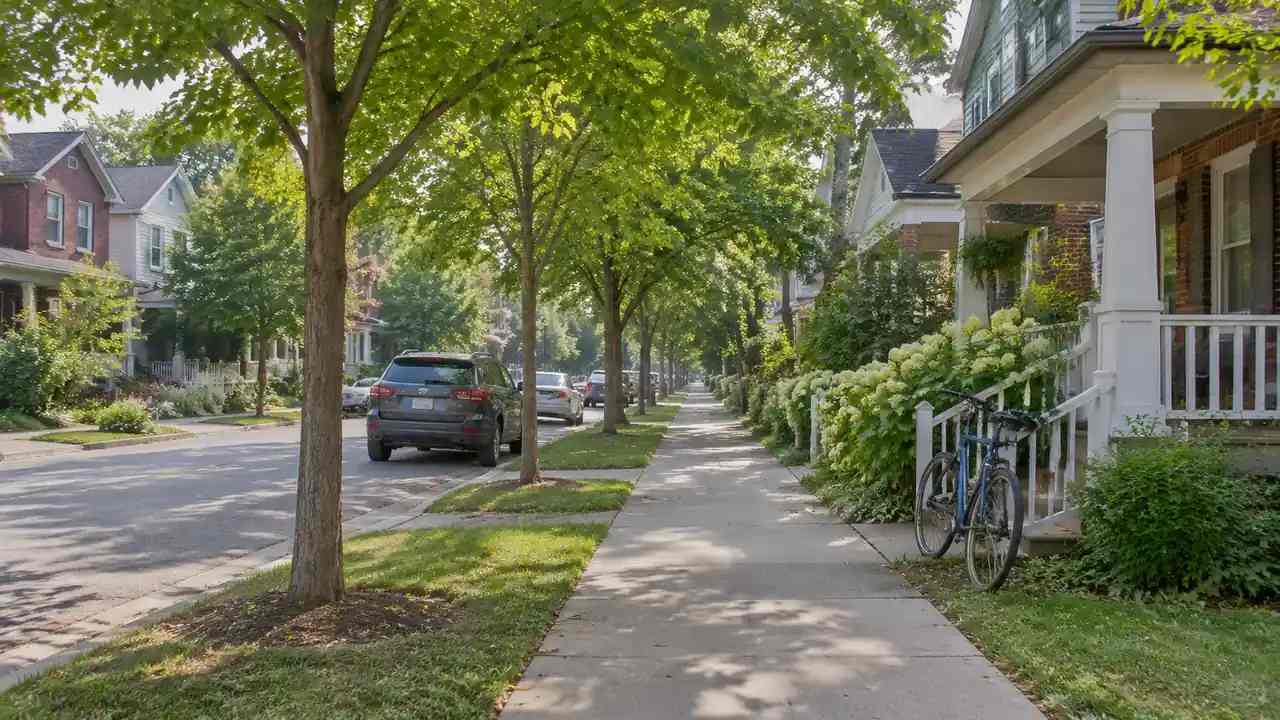
Urban tree mapping starts with a clear boundary: inferred canopy is context, not an inventory. A map-based scene helps street teams spot dense blocks, assign survey routes, check planting space beside utilities, and compare canopy along sidewalks. Species, health, and removal permits still require field checks and the local rules.
Campus expansion planning: what should GenAnywhere show?
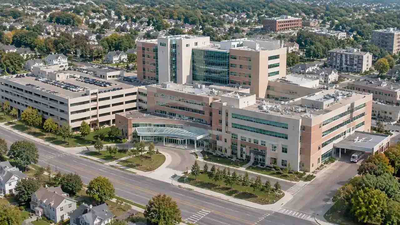
Campus expansion planning should start from the campus that exists. A map-based scene helps teams trace current buildings, test courtyard and walkway fit, stage construction access, compare schemes, and brief leadership. Enrollment forecasts, utility capacity, structures, and heritage questions then all stay with the institutional data and qualified engineering review.
Site plan review inside Tramview Heights with GenAnywhere
A site plan review works when everyone inspects the same scene. This walkthrough follows a hillside district through slope, massing, frontage, pedestrian access, and a shared review surface. It closes with an action list and still keeps zoning, engineering, and approvals with the responsible local authorities and the licensed professionals.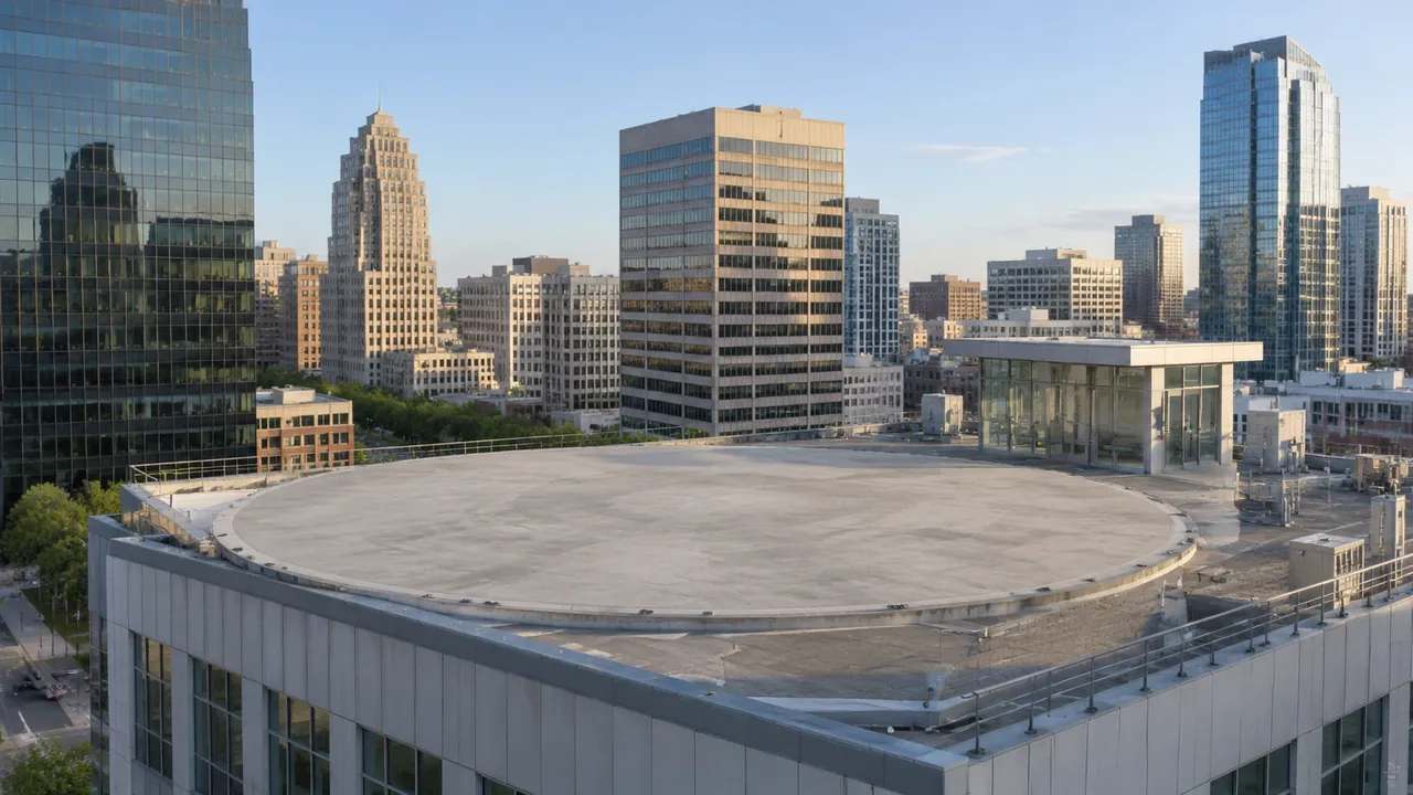
Vertiport site review: can planners use GenAnywhere?
A vertiport site review can start with footprint and access. A map-based 3D scene helps planners size the pad and passenger building, read surrounding heights, test curb and shuttle loops, and compare candidate parcels. Airspace, procedures, noise assessment, and certification then stay with local aviation authorities and qualified specialist consultants.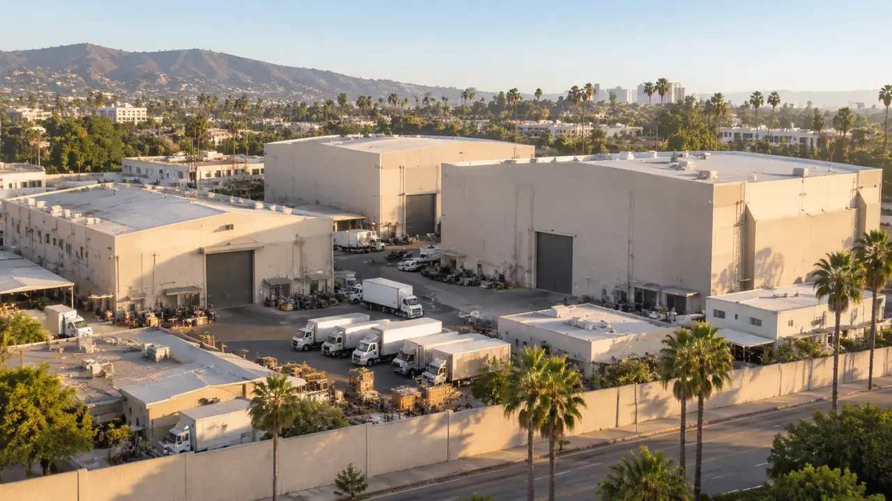
Film studio campus planning: can it start in GenAnywhere?
Film studio campus planning can begin with a map-based site scene. Teams can test stage and backlot separation, workshop yards, clear heights, sightlines, truck routes, and turning space before architects are engaged. The model supports operator and investor review while acoustics, structure, zoning, and noise rules stay with local specialists.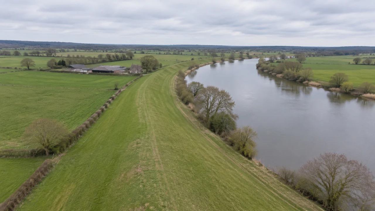
Flood dike planning: how GenAnywhere shows terrain
Flood dike planning starts with terrain, not a drawing. A map-based 3D scene helps teams trace low ridges, compare bank heights, mark buildings and inspection routes behind the line, and compare alignment options. Modeled water stays visual context; hydrology, freeboard, permits, and flood levels all remain with qualified engineering specialists.
Airport terminal planning: what changes with GenAnywhere
Airport terminal planning depends on two edges: aircraft on one side and roads on the other. A map-based scene lets teams test terminal position, apron depth, phased piers, curb demand, and walking routes early. It still supports stakeholder review while keeping survey, aviation standards, and regulatory approval with the specialists.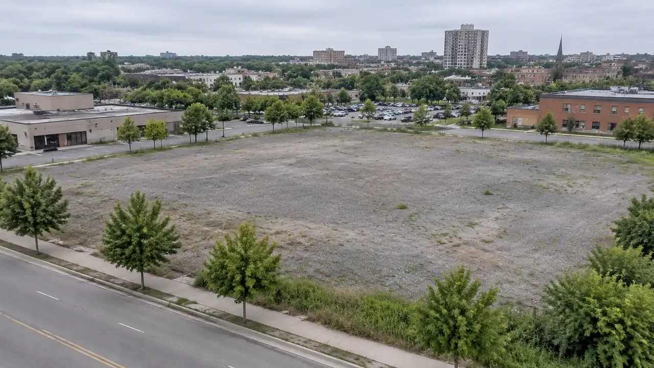
Arena site planning: what GenAnywhere adds before tendering
An arena brief improves when the site is tested before design fees begin. This guide covers access roads, service yards, seating mass, and event-day movement. A map-based 3D scene helps planners compare options, brief consultants, and keep survey and engineering questions separate. It supports early discussion without replacing specialist studies.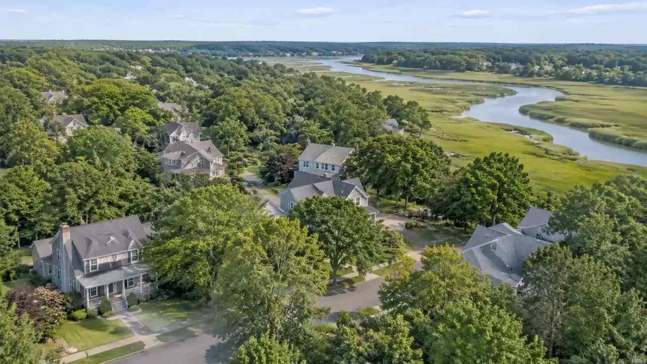
Drone delivery routes: what do suburbs map with GenAnywhere?
Drone delivery corridors cross backyards, rooftops, and dense tree cover that flat maps hide. GenAnywhere builds a 3D neighborhood scene from map data so delivery teams can compare routes, overflight patterns, and obstacle edges before a trial. Airspace approval, operating rules, and flight safety remain with aviation authorities and operators.