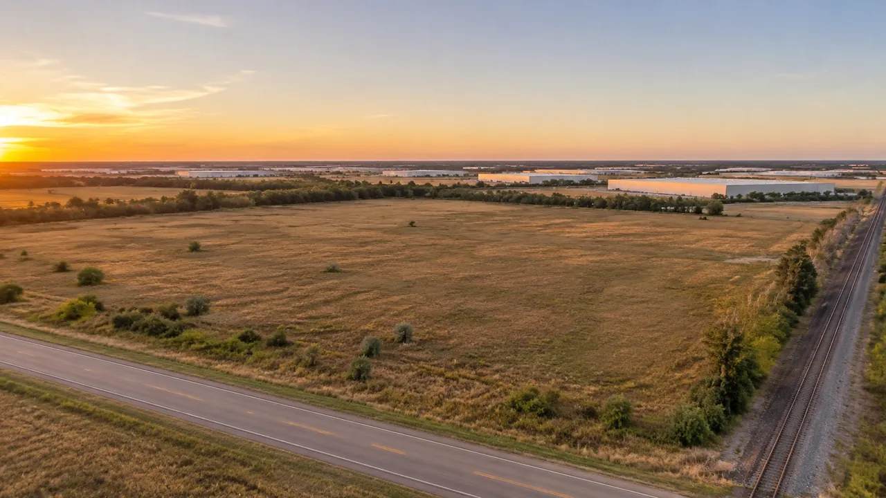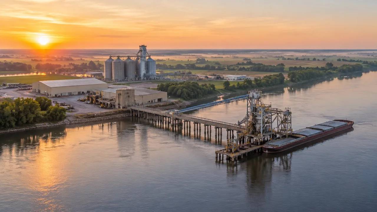
Inland port planning: what teams can compare with GenAnywhere
Inland port planning depends on river level, rail and road connections, and the land between them. This article shows how teams compare candidate parcels with a shared 3D scene, what the model can reveal about banks and access, and which navigation, floodplain, and utility questions still need a specialist study.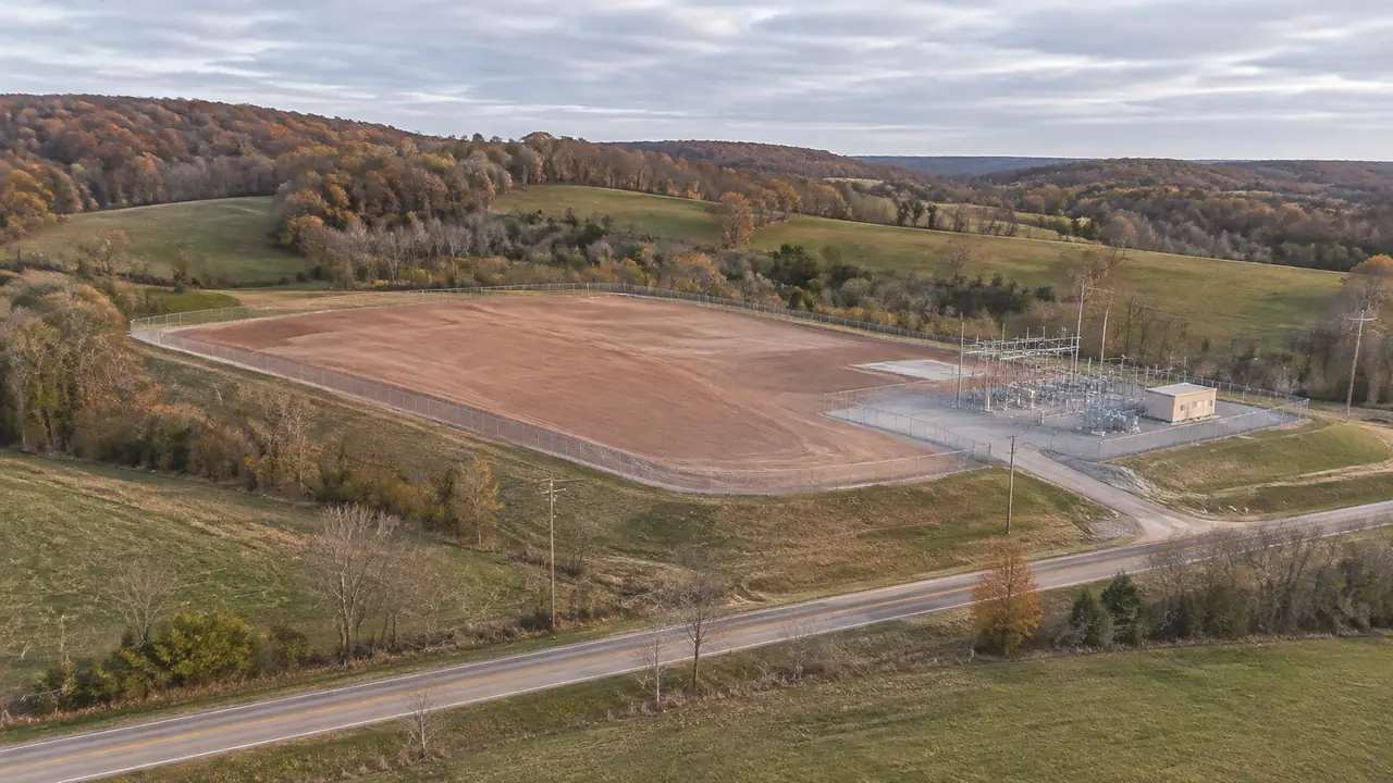
Data center siting: what GenAnywhere shows about terrain
Data center siting begins with terrain. This guide explains how slope, drainage, access, and nearby power infrastructure shape an early shortlist, where a GenAnywhere scene helps teams compare parcels, how assumptions should be recorded, and which questions still require geotechnical, floodplain, and utility studies before any real design work starts.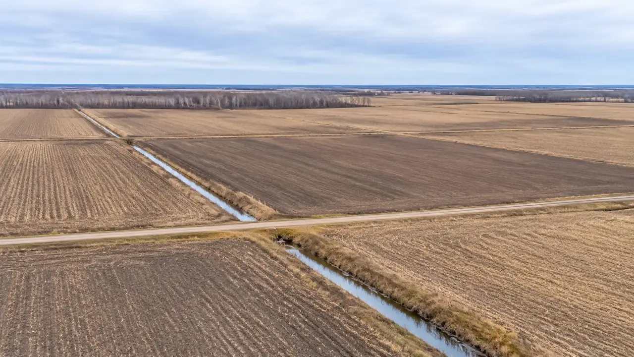
Geospatial site data: five checks before export, GenAnywhere
Five checks make a site model export more reliable: confirm the area, check imagery date, review each layer carefully, verify position and scale in your own target tool, and test the file before sharing. GenAnywhere exports a GLB file for 3D, BIM, GIS, and game engine workflows, without survey coordinates.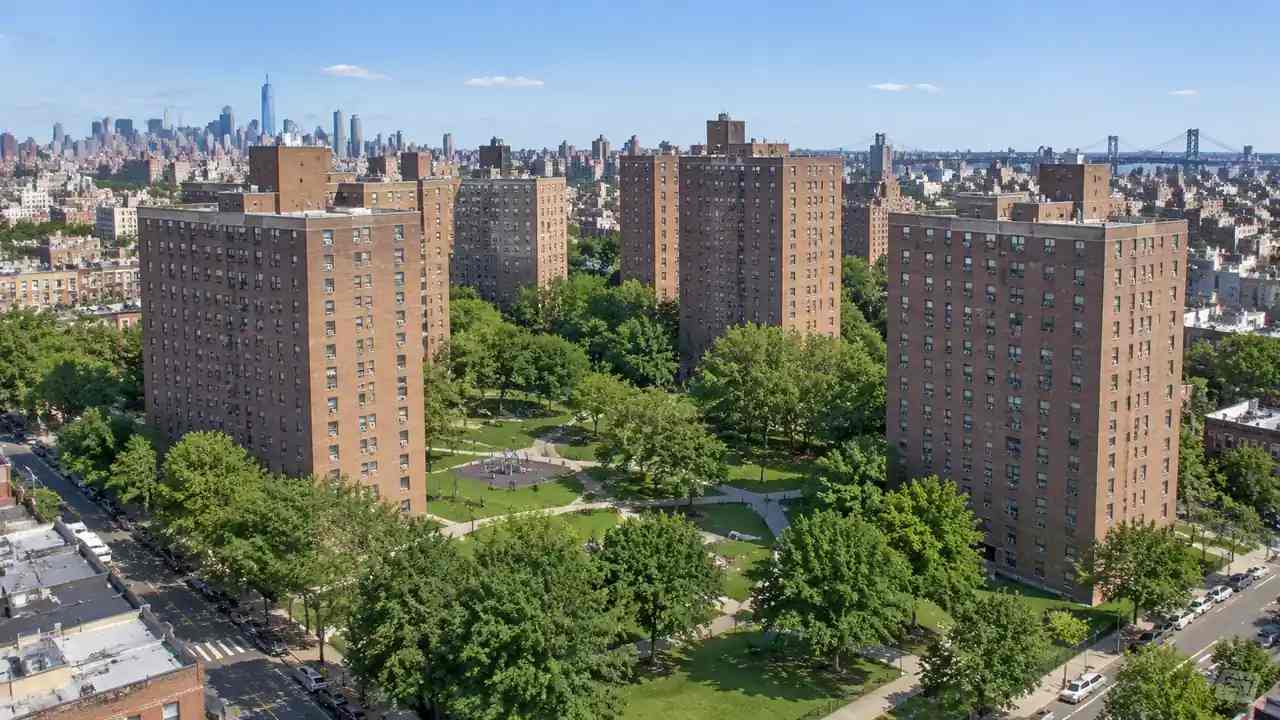
Nostrand Houses redevelopment: planning the site, GenAnywhere
A large public housing redevelopment needs a shared picture of towers, open space, access, and streets. A 3D site model helps the team test massing options, phase construction, and brief residents and agencies. It does not show apartment interiors, ownership, or tenant data, and cannot replace architectural or engineering work.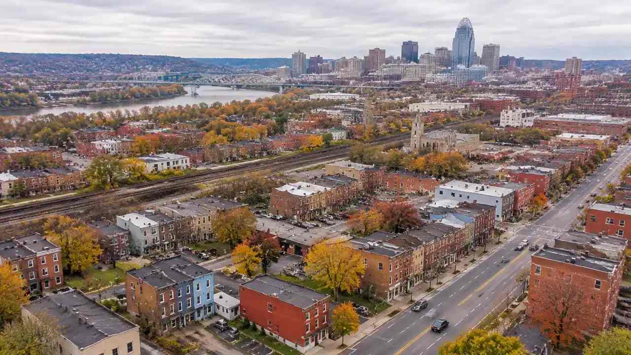
Camp Washington zoning: what residents should see, GenAnywhere
Camp Washington residents can use a 3D site model to see what a zoning change would look like from the street. It shows existing buildings, terrain, and vegetation, and lets a group test allowed height and massing on one block. It does not interpret zoning code or replace official records.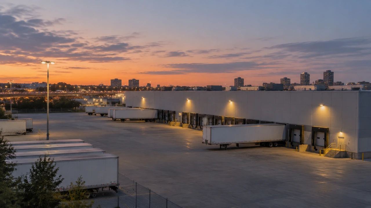
Virtual production stages: why start from a 3D site, GenAnywhere
A virtual production stage depends on the building and yard, not the LED wall alone. A 3D site model helps a production team compare candidates, test truck access, and study sight lines before a lease. It supports previs but cannot design the stage or confirm structural, power, or acoustic conditions.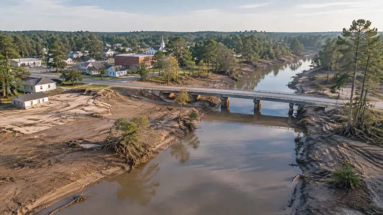
Flood recovery planning in Georgia: rebuild options, GenAnywhere
After a flood, a Georgia town can use a 3D site model to sketch rebuild options before funding decisions harden. It shows terrain, buildings, and roads, helping residents compare rebuilding in place, moving to higher ground, or leaving block open. It does not determine eligibility, flood risk, or structural safety.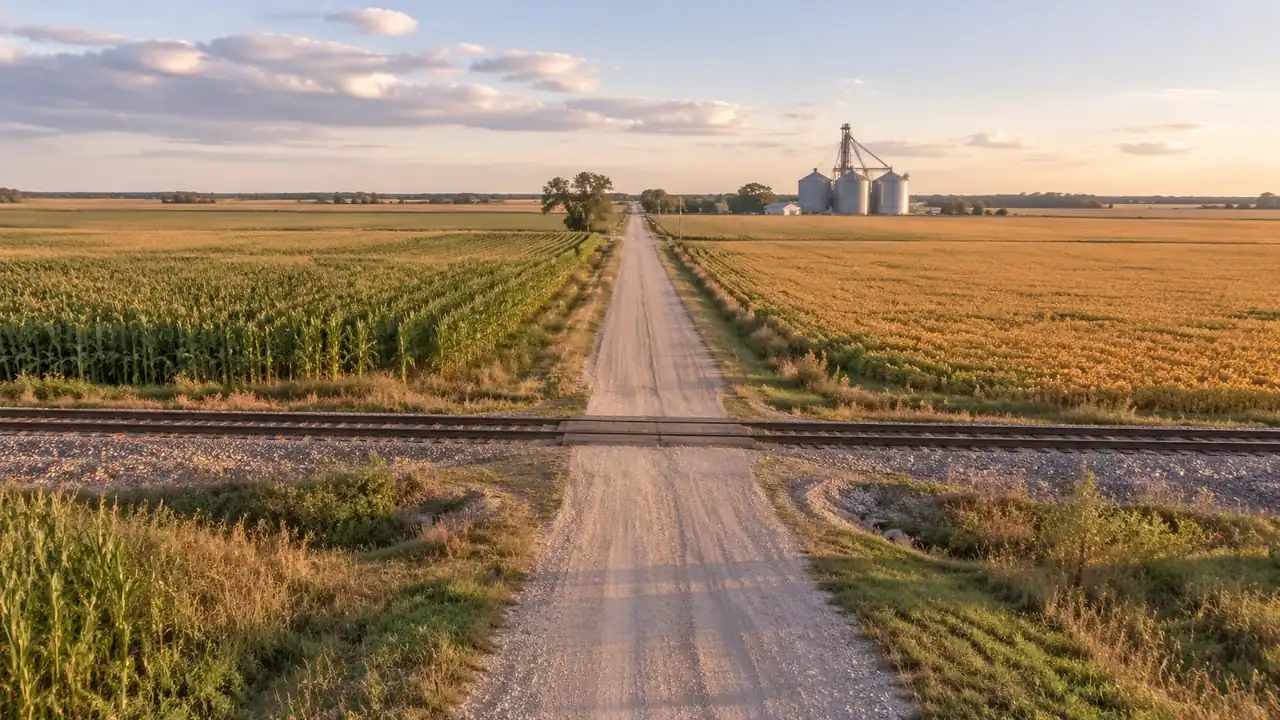
Rail crossing site options: three terrain approaches, GenAnywhere
Three terrain approaches shape a rail crossing: at grade, over, or beneath the track. A 3D site model helps planners compare approach length, land take, drainage, and access before engineering begins. It supports alternatives screening and briefing but does not design the crossing or replace rail, traffic, and hydraulic studies.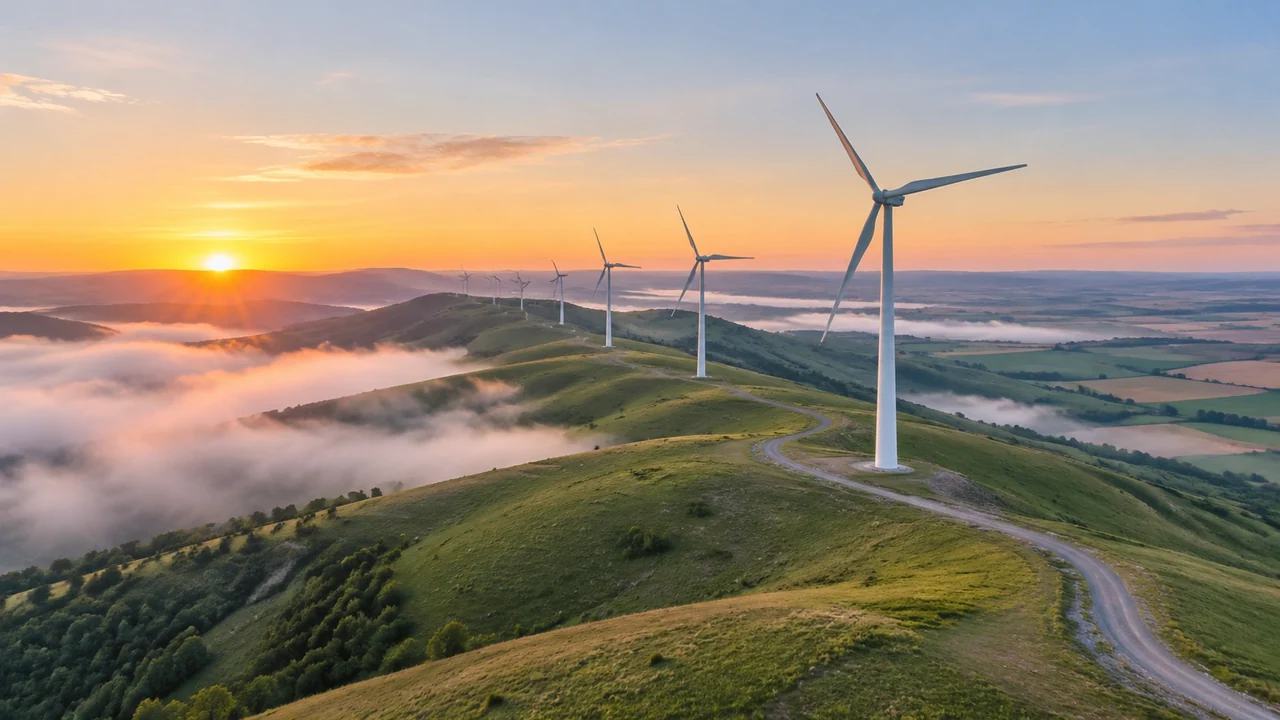
Wind farm layout review: what counties should compare, GenAnywhere
County reviewers can use a 3D site model to compare wind farm layouts before positions are fixed. It shows ridges, roads, fields, and waterways, helping staff frame land-use and access questions. It cannot confirm wind resource, sound, shadow flicker, grid capacity, or permitting outcomes, which require specialist studies and review.