Film studio campus: can GenAnywhere frame the site plan early?
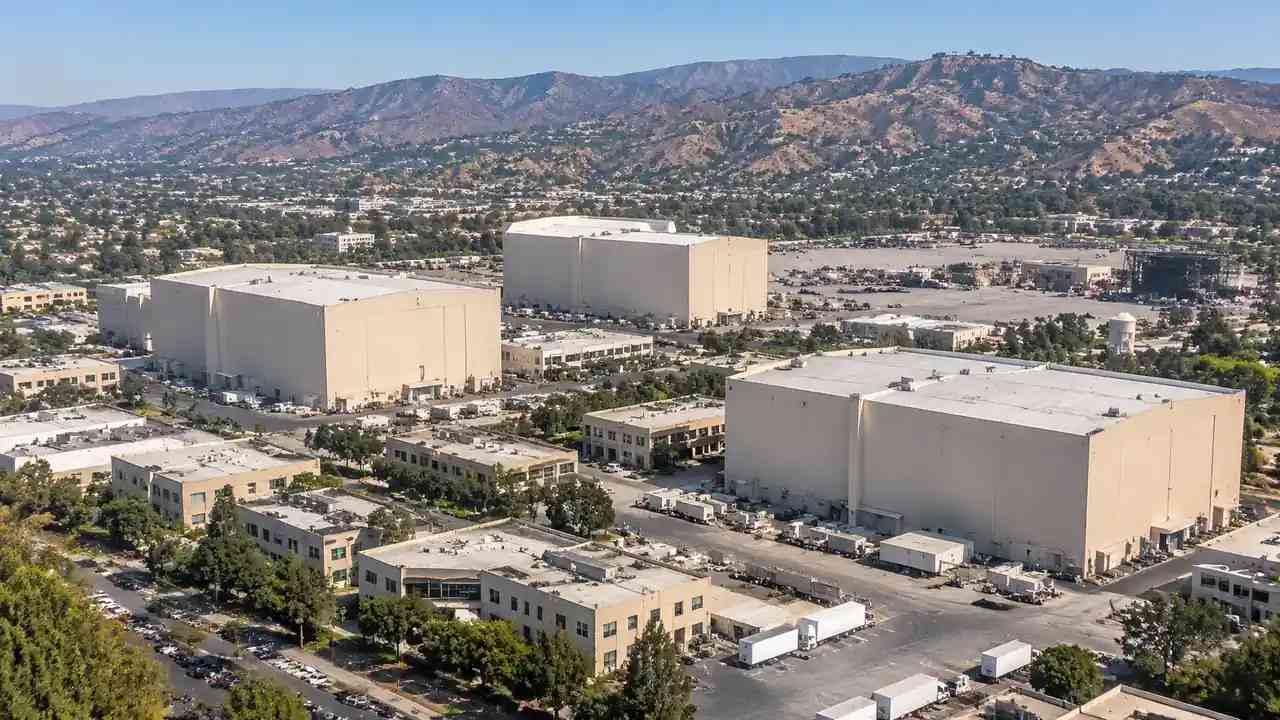
A film studio campus needs tall stages, service yards, parking, and backlot space on one parcel. Teams should test massing, truck turning, and separation before design begins. GenAnywhere builds a shared 3D site frame from map data, while acoustic, structural, and power questions stay with the specialists and engineers involved.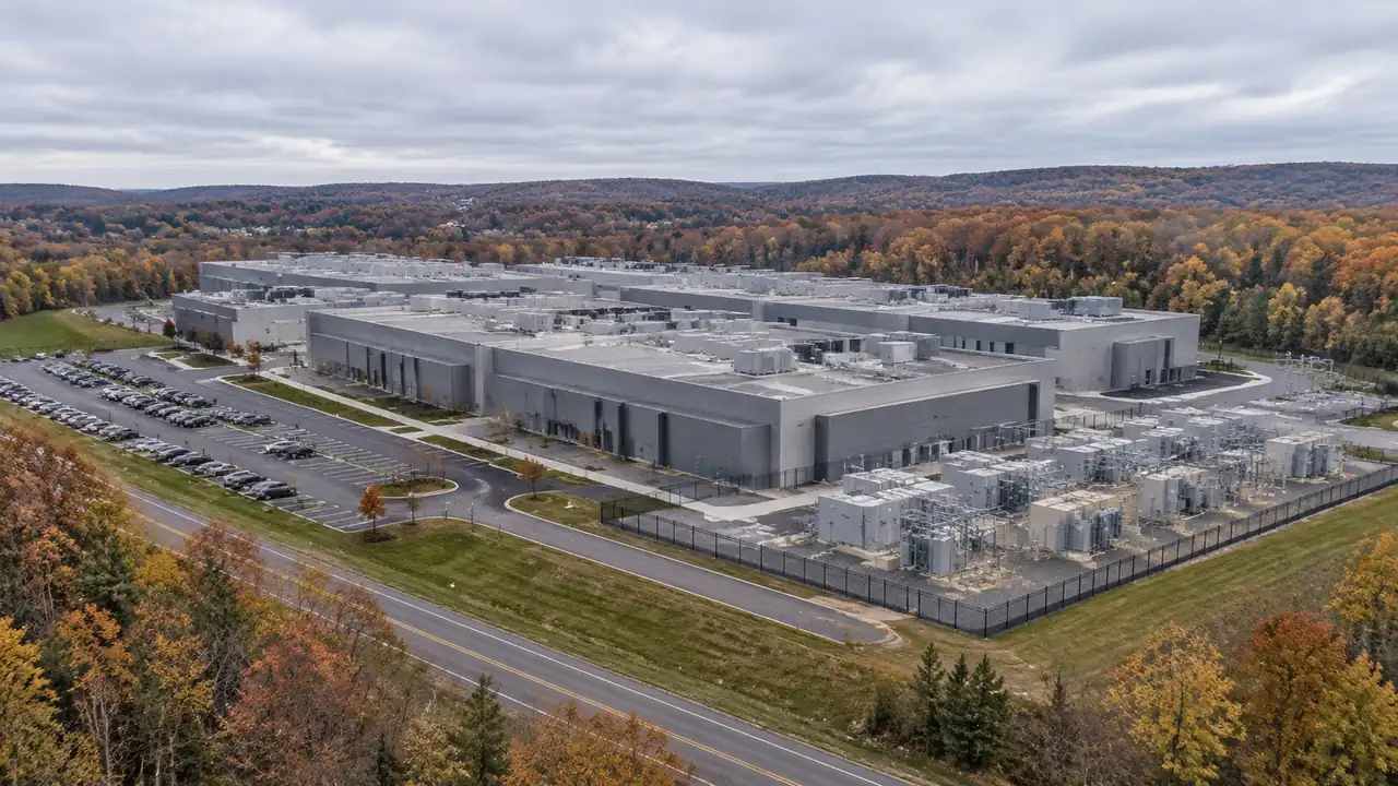
Bethlehem data center: a site review checklist for GenAnywhere
A Bethlehem data center review starts with land, access, power, fiber, and neighbors. Teams should use one checklist for every parcel, record dated utility answers, and test massing in context. GenAnywhere provides a generated 3D site scene for comparison, while engineering and capacity studies remain with specialists and design teams.
Venice heritage buildings: what GenAnywhere adds to site context
Venice heritage buildings need a setting review, not just a facade check. Teams should compare rooflines, canal edges, access, and public space before design. GenAnywhere supplies a shared 3D site scene generated from map data, while conservation judgment stays with qualified reviewers and the local authority and local planners together.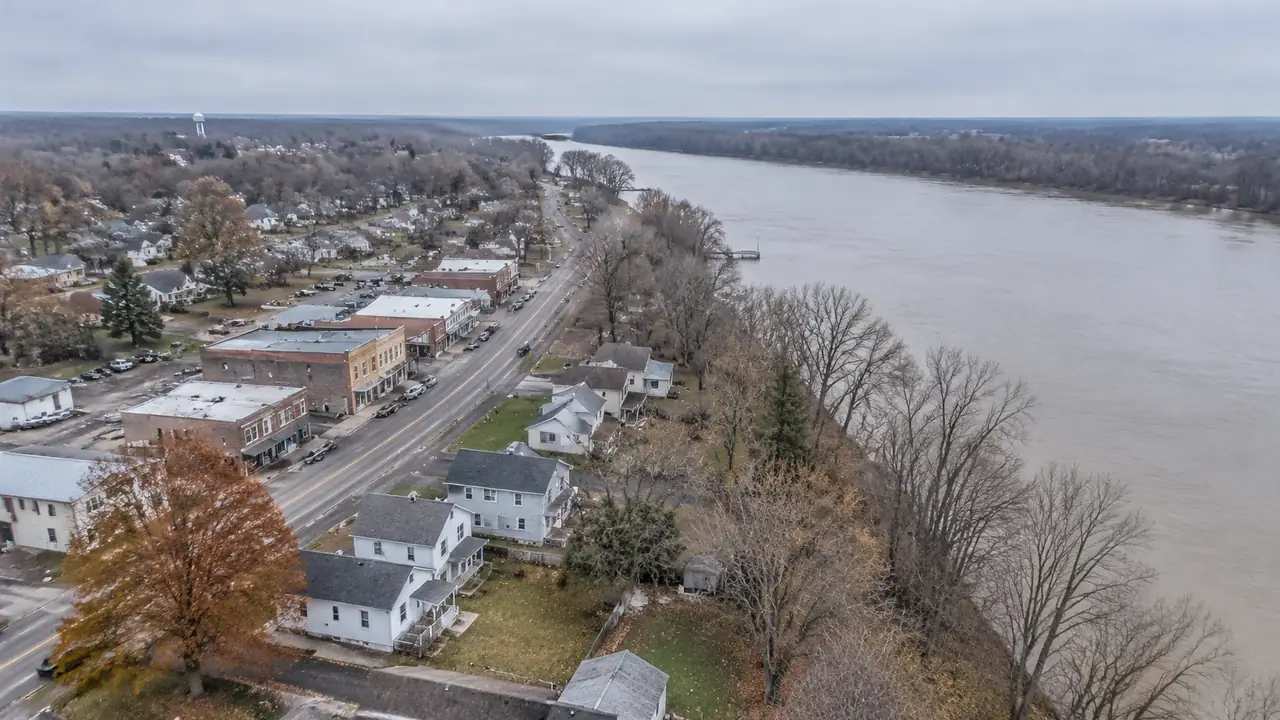
FEMA flood maps: what site planning with GenAnywhere should check
A FEMA flood map sets a constraint, not a design verdict. Teams should mark the mapped zone, test access and utilities against it, and compare options on the same map version. GenAnywhere adds a shared 3D site context for those conversations, while hydrology and local rules stay with the specialists.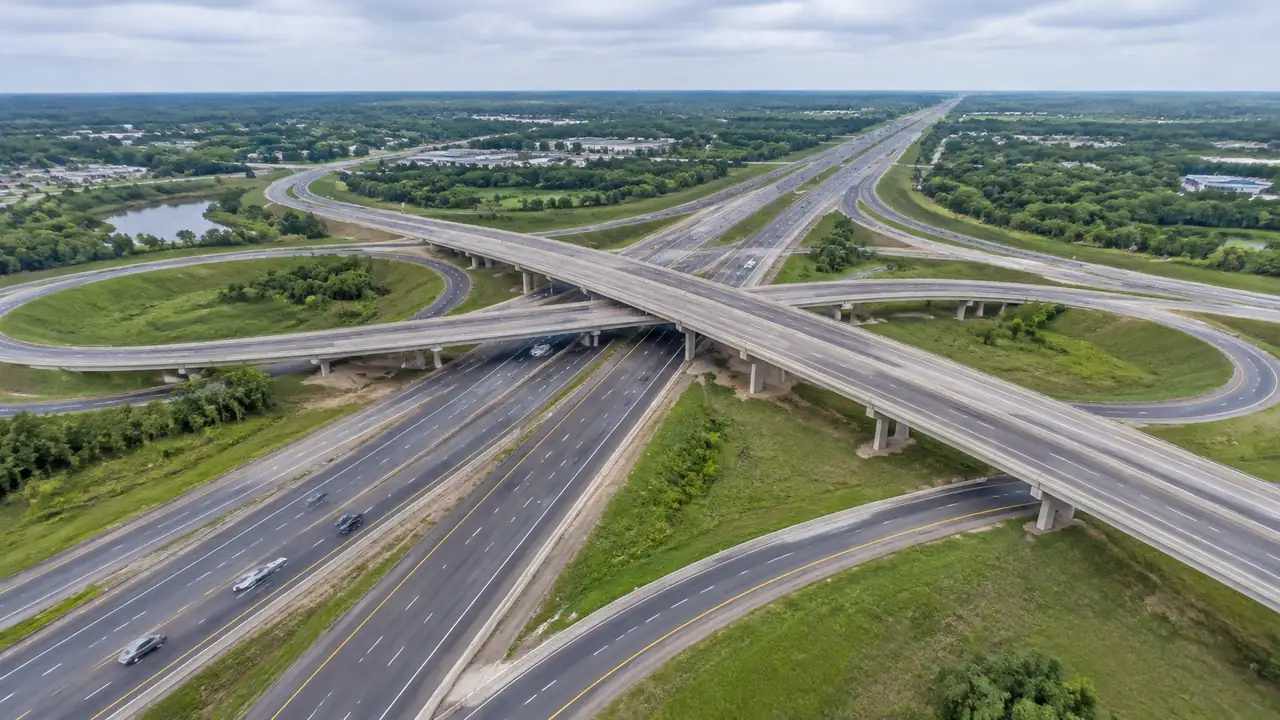
Overpass generation: how GenAnywhere builds a junction
GenAnywhere builds the junction site, not the junction structure: terrain, water, buildings and vegetation within a chosen area, editable. Decks, ramps, piers, signs and lighting are design items placed later. Frame all four quadrants and a length of each approach, use blocks for comparisons, and note assets still to add.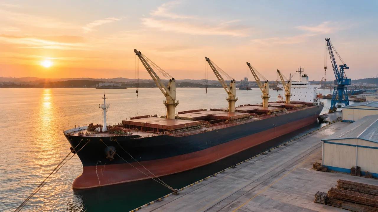
Can GenAnywhere set vessel position and heading?
No vessel object exists, so there is no position or heading control. A hull is placed after export, in the receiving application, where heading is a rotation against a stated reference. Berth length, hull length, gap and heading have to agree; record the source file, scale and water level used.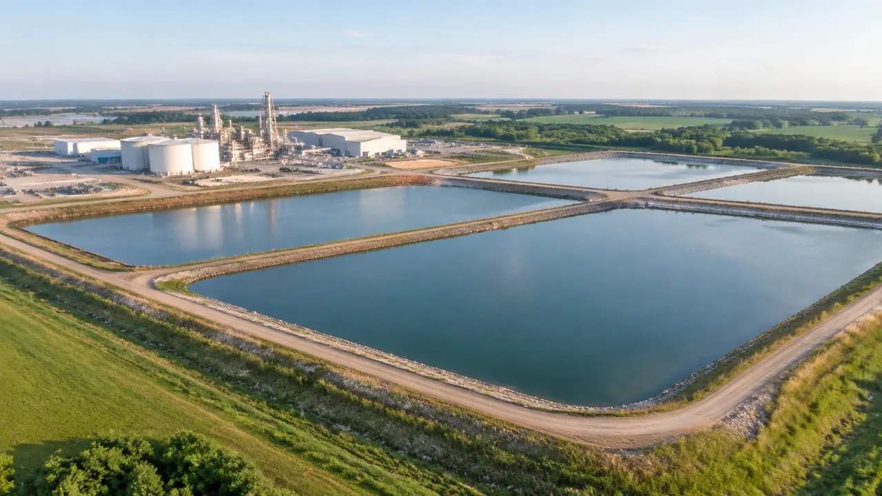
Settling pond handoff: where GenAnywhere sends the GLB
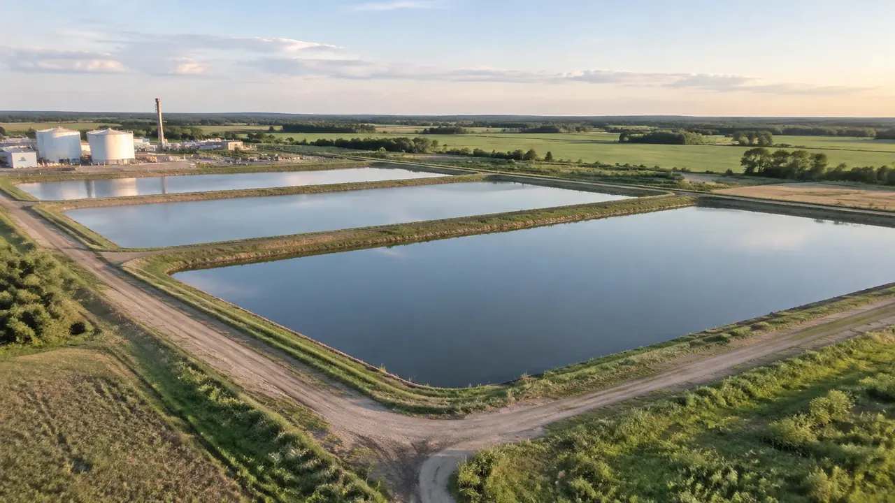
The pond travels inside the site scene as mapped water, with no levels, volume or process data attached. Choose the receiving tool by the decision it serves, then test scale, origin and orientation. Agree whether the mapped pond stays as reference, name the file, and keep five lines of note.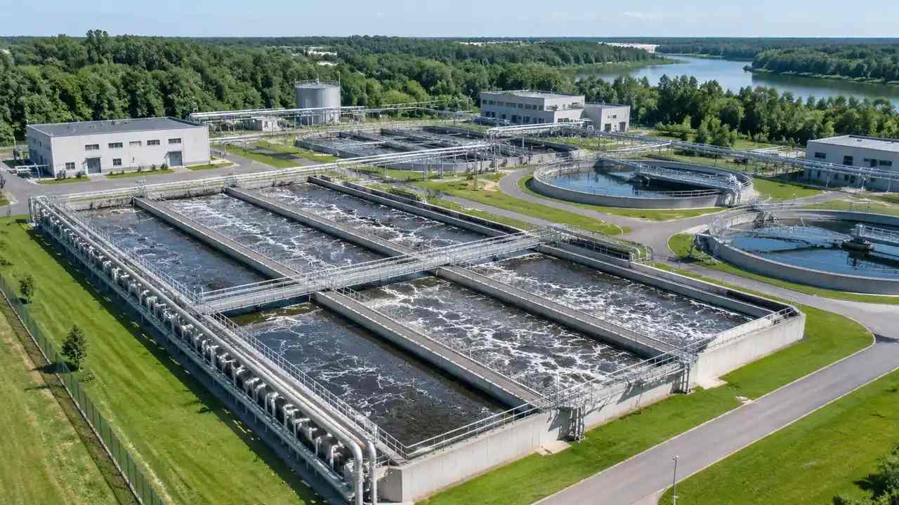
Water treatment scale: what GenAnywhere covers in one view
A view of a treatment works shows the site as a place: ground, water, buildings and vegetation, with estimated heights and inferred types. Process units, pipework and hydraulic profile stay in design documents. Correct buildings people recognise, take aerial and eye level frames, then export a GLB with a note.
Aircraft export: does GenAnywhere support GLB?
GenAnywhere exports GLB, and that file holds the airfield: terrain, paving, terminal buildings, vegetation and any edits. Aircraft are equipment, so they arrive from an asset library and are placed in the receiving tool. Check scale, units and orientation after import, and say which elements came from outside the platform.