Quay cranes and yards: how GenAnywhere layers both
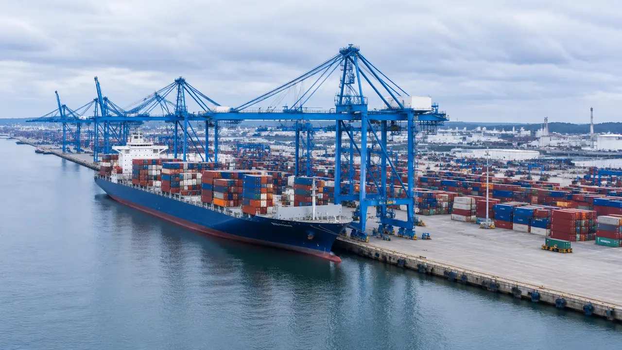
GenAnywhere generates the quay line, water edge, sheds and yard ground at a container terminal. Quay cranes and container stacks are equipment, so teams bring them from their own asset library. Use the scene for layout and setting discussions, then confirm the imagery date before presenting the terminal as current.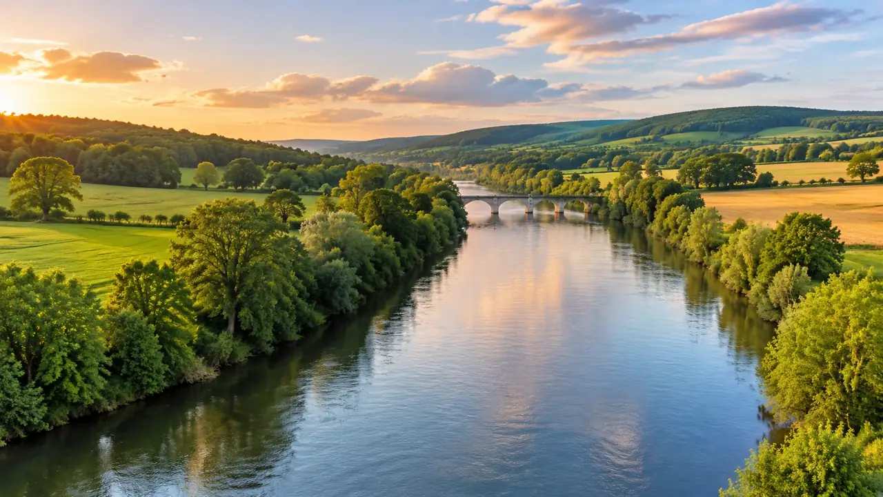
Water and terrain: how GenAnywhere joins the two
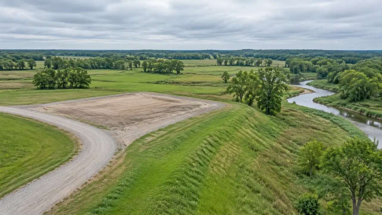
GenAnywhere carries rivers, reservoirs and shorelines into the generated terrain surface rather than laying water over it as a separate sheet. Water bodies follow map data, so recent dredging or seasonal ponds may be missing. Confirm the imagery date and agree the bank extent, then preview and export a GLB.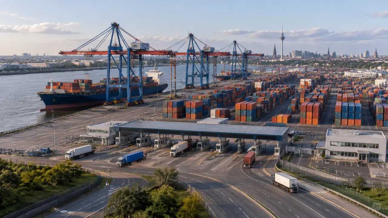
Container yard scale: what GenAnywhere covers in one scene
Scale questions come up early in a container yard study. This guide explains how much terminal one scene can hold, why blocks are the right unit, where detail stops paying off, and how to split a yard that outgrows a single view. Throughput and dwell time stay operational questions throughout.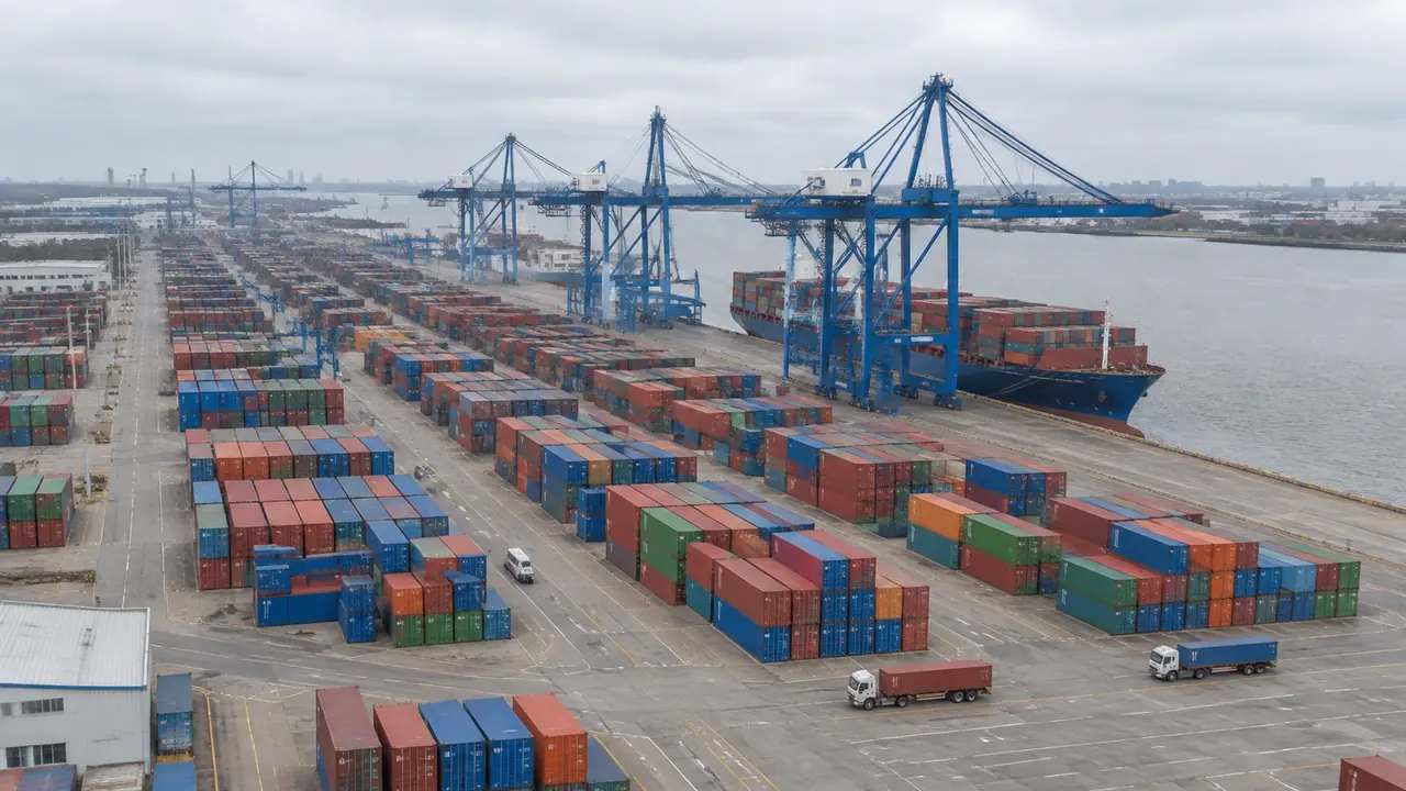
Container model export: a GLB handoff GenAnywhere supports
A container yard is easy to show and harder to hand over. This guide covers what a planned model handoff needs: a fixed extent, a matching block plan, a destination checked before export, clear version names, and a short handover session. Operational data stays with the systems that own it.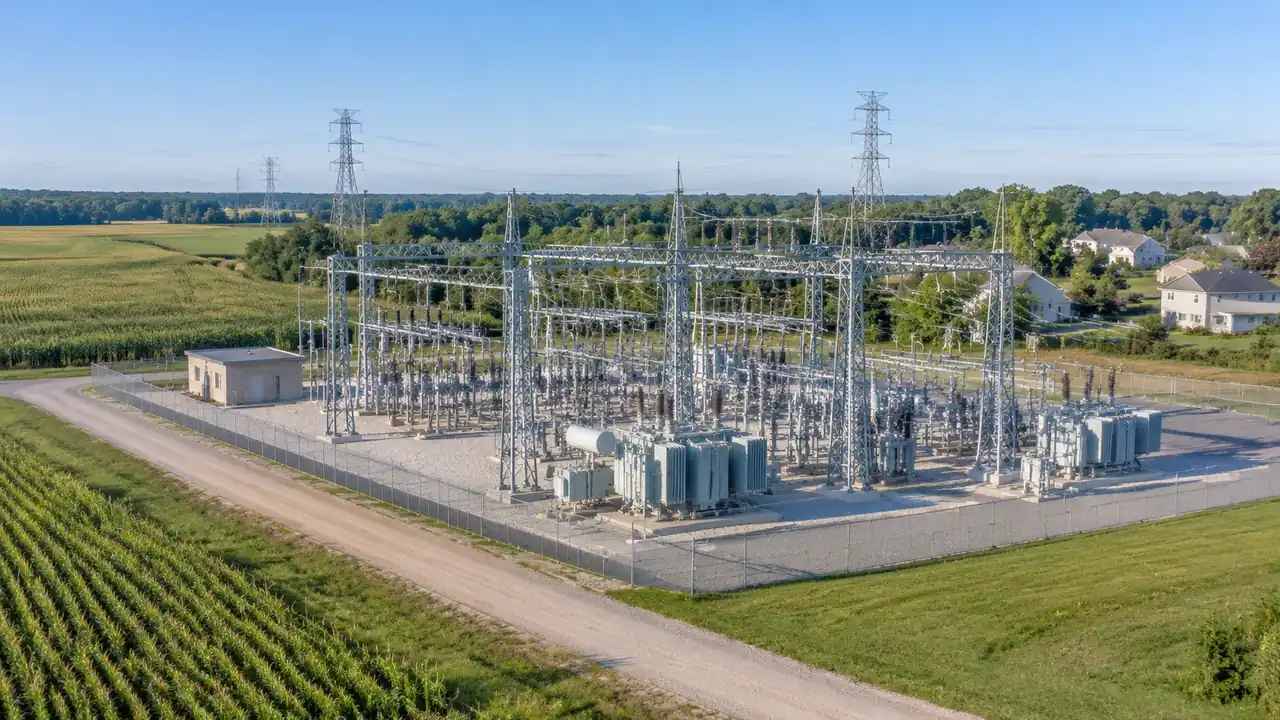
Utility load growth: compare site options, GenAnywhere
Load growth becomes a land question when a utility starts looking for sites. This guide shows how siting teams build each candidate in 3D, size the yard and buffer, check views from nearby homes, and compare access for heavy equipment. System studies and interconnection decisions stay with the utility itself.
Terminal GIS: can teams compare layouts in GenAnywhere?
Two terminal layouts can look equal on paper and feel different in use. This guide shows how airport teams block out two competing schemes, walk the full passenger path, read the apron edge, and hand a GLB to GIS and design teams. Capacity, queues, and security systems remain separate studies.
Seismic digital twins: where do teams use GenAnywhere?
A seismic digital twin needs a district layer before a simulation. This guide shows how resilience teams build an editable district scene from map data, brief retrofit options block by block, rehearse response access routes, and export context for analysis. Ground motion and structural response stay with the engineering teams.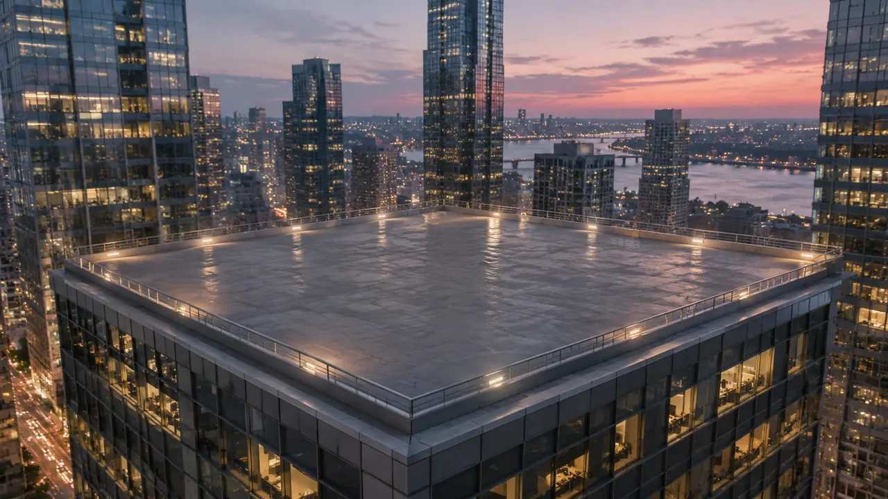
Vertiport planning: can GenAnywhere preview a downtown site?
A downtown vertiport is a study in vertical relationships between the pad, the skyline, and the street. This guide shows how planners preview a candidate site in 3D, compare rooftop and surface options, walk the passenger route, and share a GLB. Airspace, structure, fire, and noise decisions remain with specialists.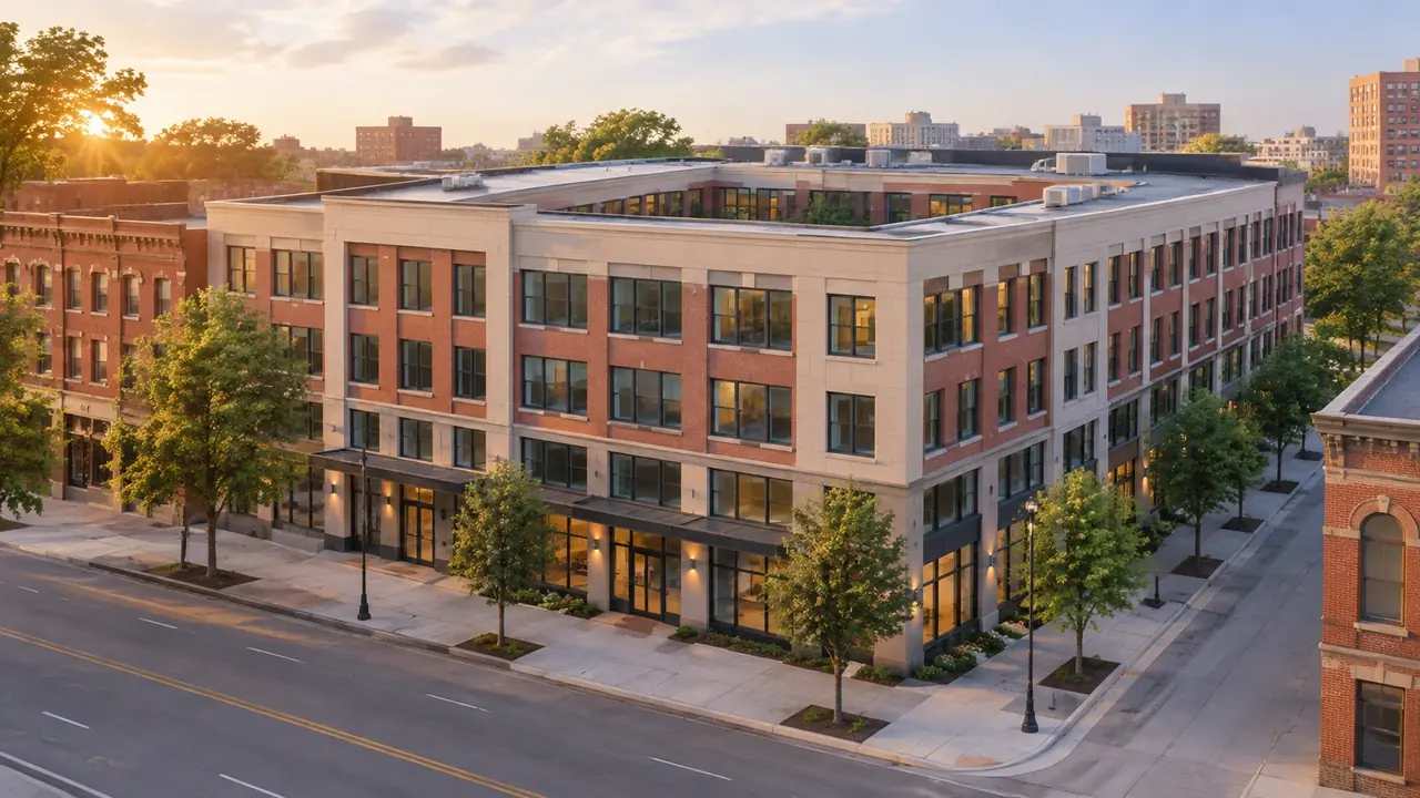
Office-to-student conversion: shape the block, GenAnywhere
Converting a tired office block into student housing starts with the shape and depth of the building. This guide shows how teams test courtyards, setbacks, and added wings in a 3D scene, read the street edge, and export the tested massing. Structural, fire, acoustic, and code questions stay with engineers.