Airport light rail: what does GenAnywhere add for planners?
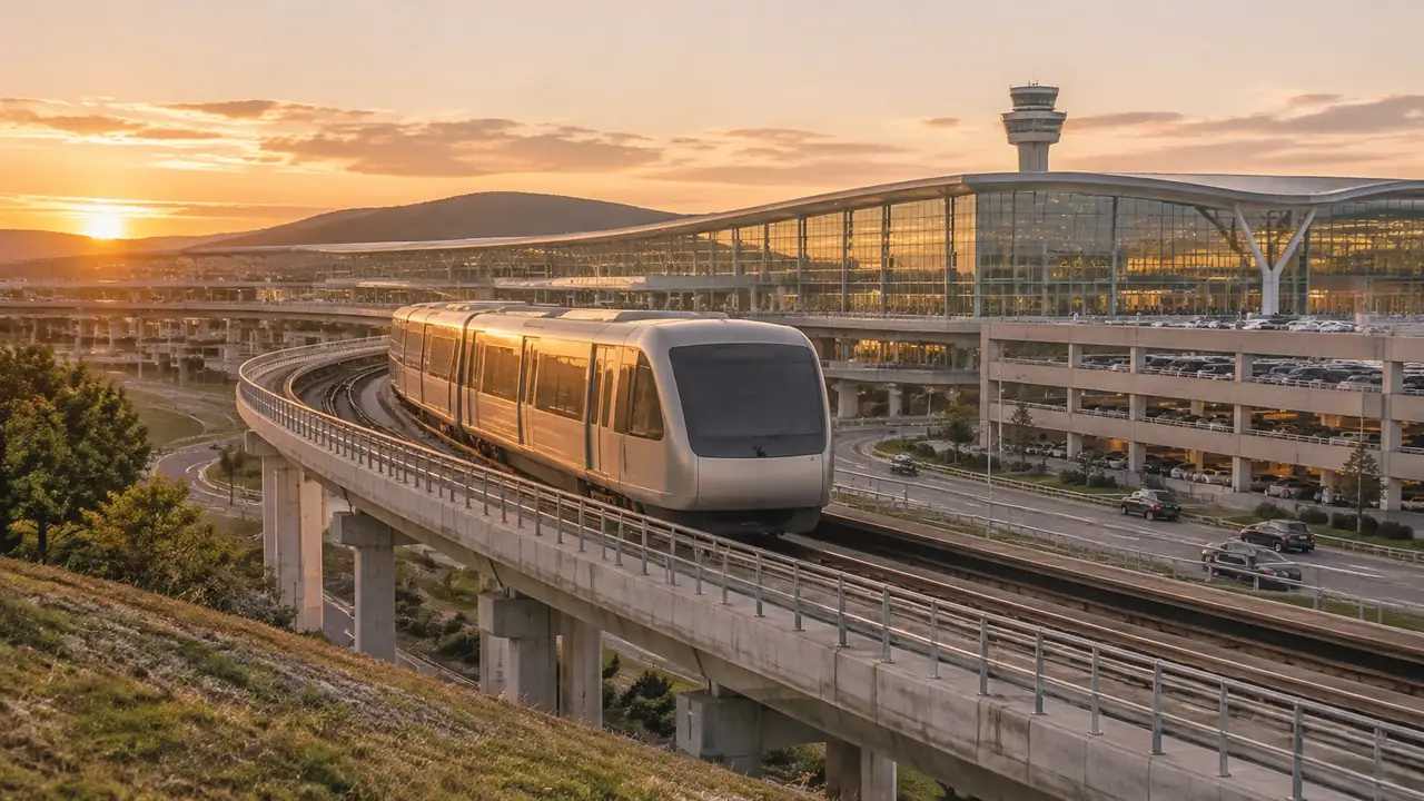
An airport rail link depends on where the station sits and how the line reaches the terminal. This guide shows how planners compare rail alignments in a 3D scene, test walking routes, review crossings, and export a GLB. It also marks what ridership, cost, and airspace studies must decide early.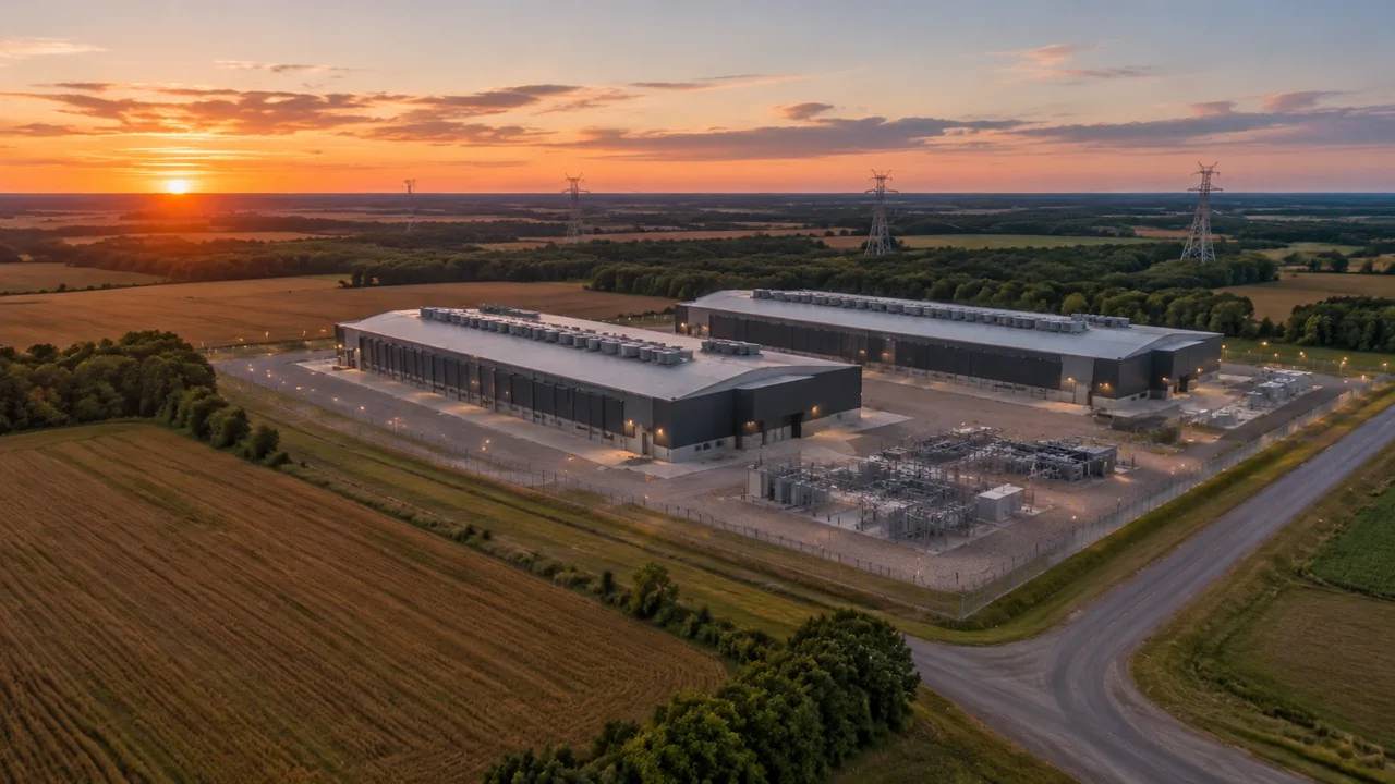
Data center siting: can you test a campus with GenAnywhere?
A data center campus is a land question before a building question. This guide shows how planners build an editable 3D site scene from map data, compare parcel options, read terrain and neighbors, and hand a GLB to design teams. It also explains which feasibility questions remain with the engineers.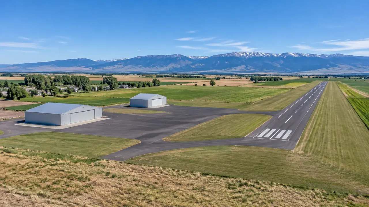
Drone hub site plan review in Nampa, modeled in GenAnywhere
A drone hub site plan raises familiar local questions: access, setbacks, screening, and compatibility. A 3D site model shows pads, equipment storage, parking, and service routes in context, helping applicants and reviewers compare layouts. Airspace regulation, noise studies, and utilities remain separate processes with their own documentation and staff review.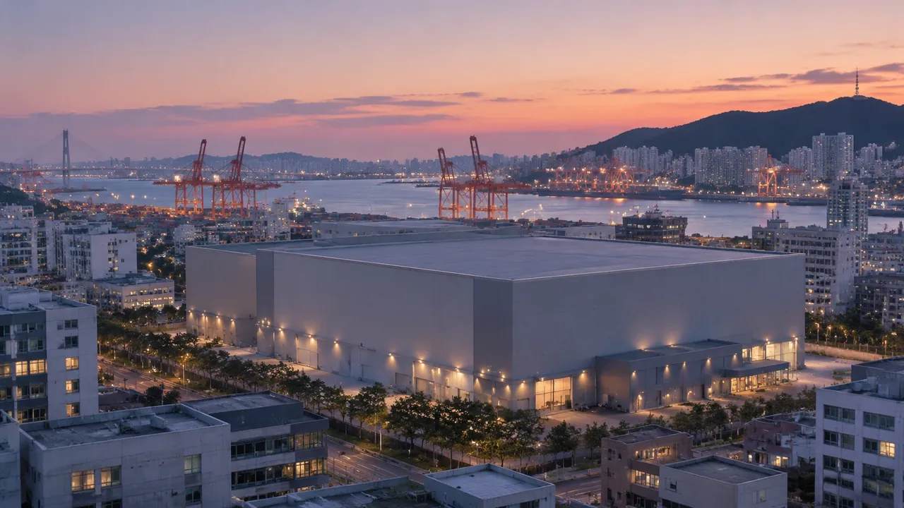
Virtual production stage planning in Busan, with GenAnywhere
A virtual production stage brings unusual demands to a city block. Exterior context helps the project judge envelope, access, and views before design hardens. A site model built from map data lets art, engineering, and operations review the same district, then export the scene for game engines and real-time tools.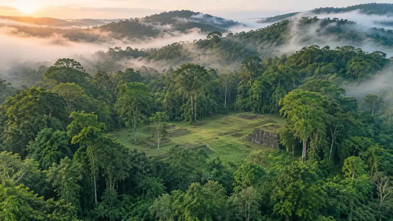
Maya site rebuild: how GIS teams scope terrain in GenAnywhere
When a reported Maya complex draws attention, a context model can place the site in its landscape without claiming a reconstruction. Terrain, vegetation, and reported platforms appear as volumes, with interpretive layers kept separate. The scene supports better field questions and clearer publication, while survey and excavation records remain authoritative.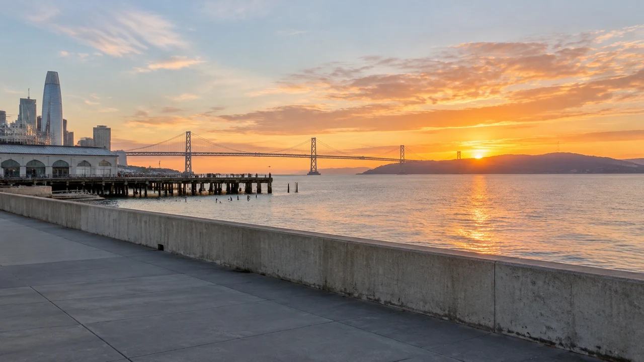
Flood barrier comparison for San Francisco, with GenAnywhere
Comparing flood barrier alignments along San Francisco's waterfront benefits from one shared scene. A site model holds the ground, water, and built edge fixed while the barrier line changes, so residents can judge crossings, height, and bulk from familiar waterfront viewpoints. Hydrology and engineering design stay with the coastal specialists.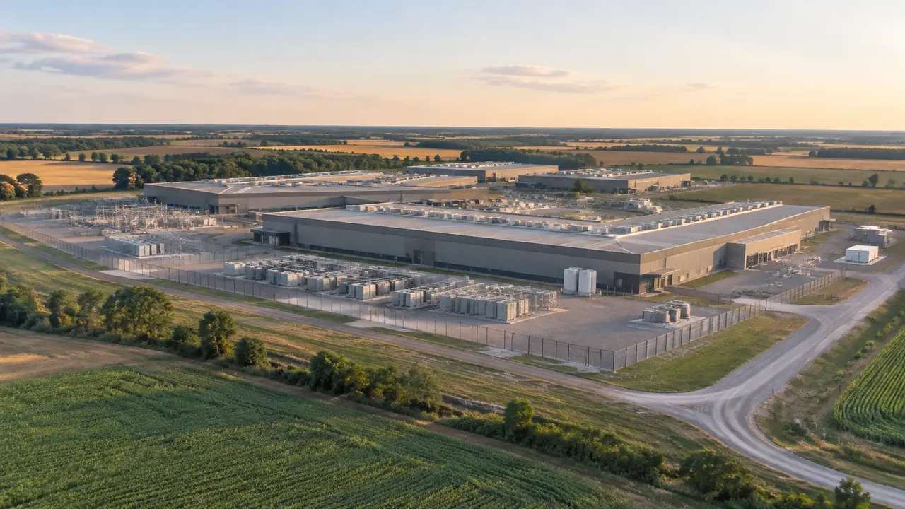
Data center buffer review: what a site model shows, GenAnywhere
A data center buffer review turns on what neighbors and drivers actually see. A 3D site model places the building, screening, and surrounding land cover in one view, so staff can compare berms, walls, and planted edges from the road and property line. Noise, lighting, and drainage remain separate studies.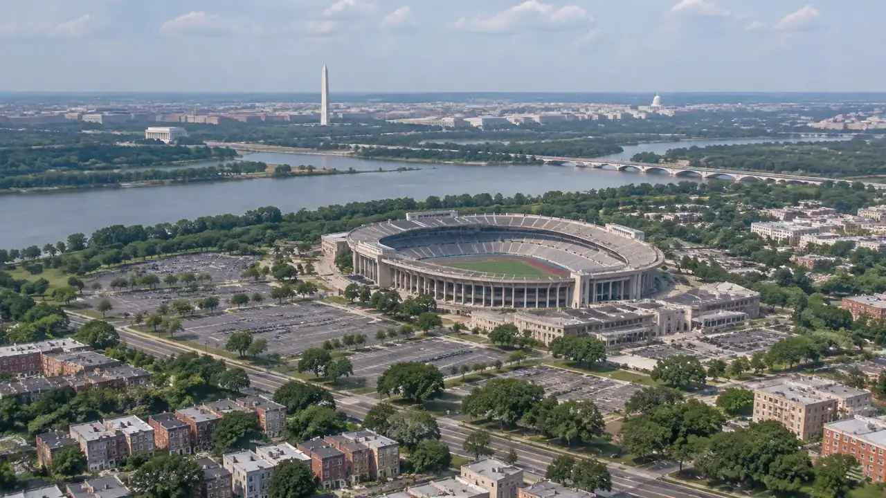
Massing options for RFK campus neighbors in GenAnywhere
Neighbors comparing a large campus redevelopment need more than renderings. A map-based model lets residents and planners rotate the same scene, check proposed heights against surrounding blocks, and walk the perimeter at eye level. It supports the conversation about bulk and scale without predicting approvals or replacing the official record.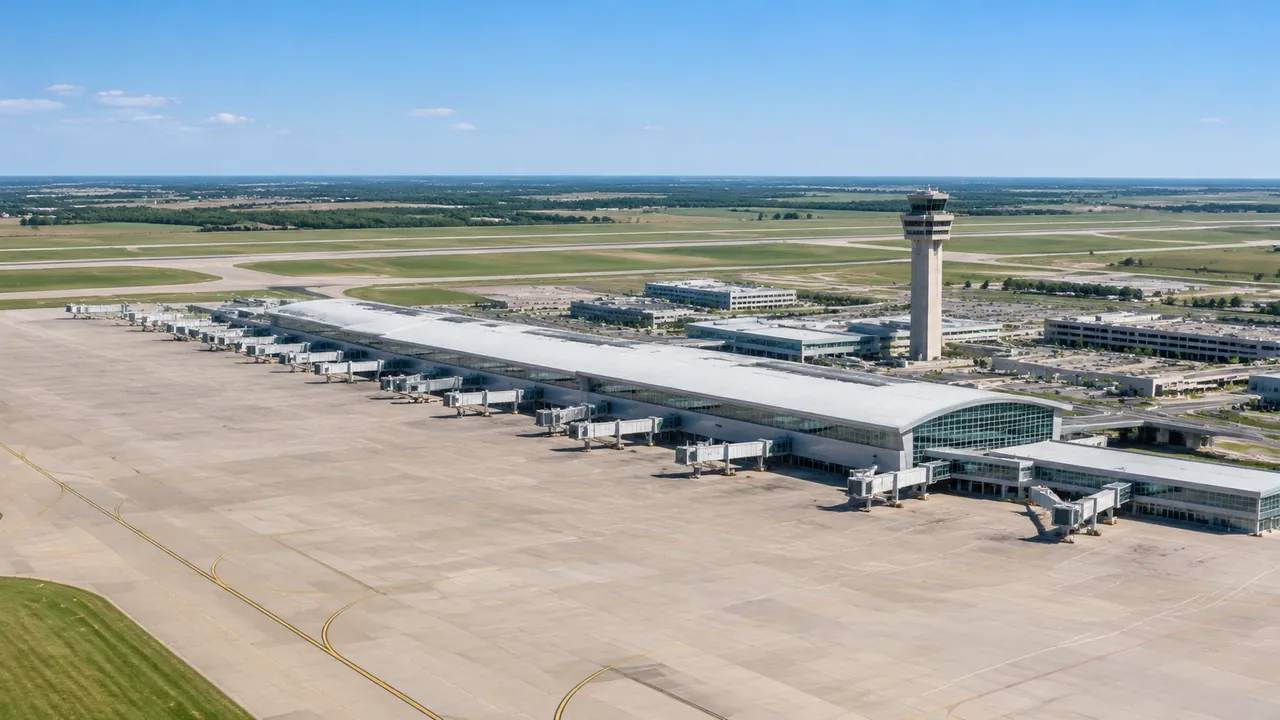
Terminal construction staging at O'Hare with GenAnywhere
Staging work at an operating airport is spatial before it is sequential. A shared 3D site model shows temporary laydown areas, crane positions, and service routes against the terminal. Teams can compare phases, brief contractors on the same picture, and flag conflicts early. Schedules and safety approvals remain separate documents.