Mass timber buildings: checking the site layer by layer, GenAnywhere
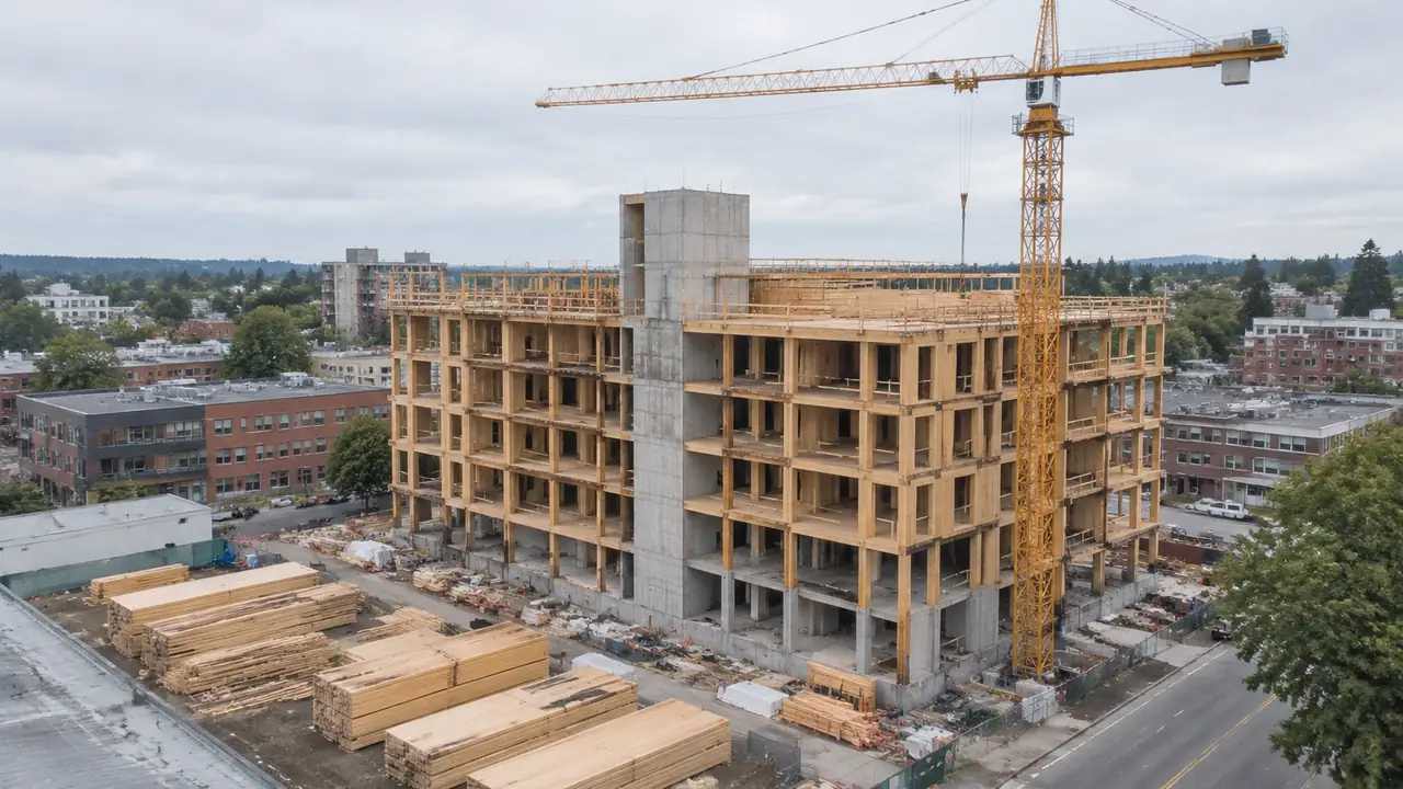
Mass timber projects need more from a site than just a footprint. They need delivery routes, crane positions, staging space, and dry storage. A 3D site model helps teams test those constraints and compare massing options before design hardens. Structural, fire, and code questions still remain with the project's specialists.
Airport digital twin: what a terminal site view adds, GenAnywhere
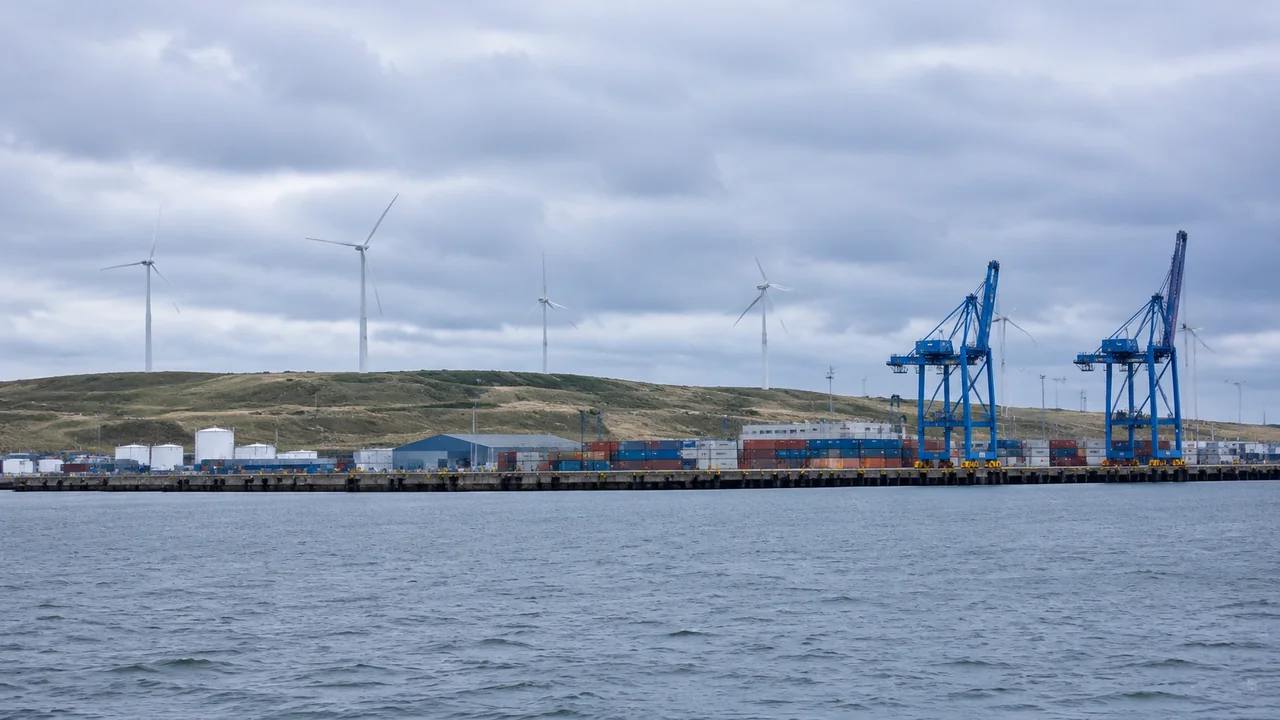
An airport digital twin starts with real site context. A map-based 3D view shows the terminal, apron edge, roads, parking, and surrounding land, helping teams compare massing and phasing options in one shared scene. It informs early planning work without replacing the airport's asset data, security rules, or engineering standards.
Utility undergrounding: reading route terrain early, with GenAnywhere
Utility undergrounding is a corridor problem before it is an engineering problem. A 3D site model helps teams read route terrain, driveway crossings, tree canopy, and staging space. It supports comparison of alternatives and clearer conversations with the utility owner, while leaving utility records, easements, and trench design to specialists.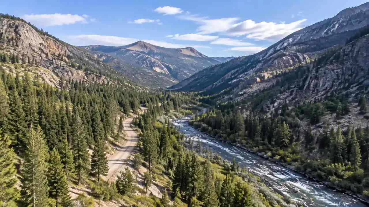
Reservoir site review: can a new site be previewed in GenAnywhere?
A new reservoir site can be previewed before engineering begins. A map-based 3D model shows valley form, side slopes, access routes, and vegetation context, helping a water team compare candidates and prepare questions for hydrologists, geotechnical engineers, and regulators. It does not replace surveys, water rights work, or required studies.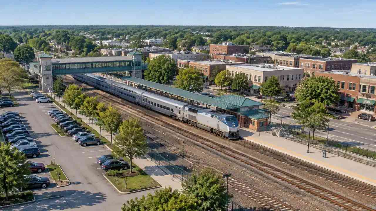
Station-area plans: what early site review adds with GenAnywhere
Station-area plans depend on how a platform sits in its neighborhood and how people reach it. A shared 3D site baseline helps planners test boundaries, access routes, building massing, and development scenarios. It supports public outreach and design handoff, while leaving zoning, entitlement, and ridership to the responsible planning agencies.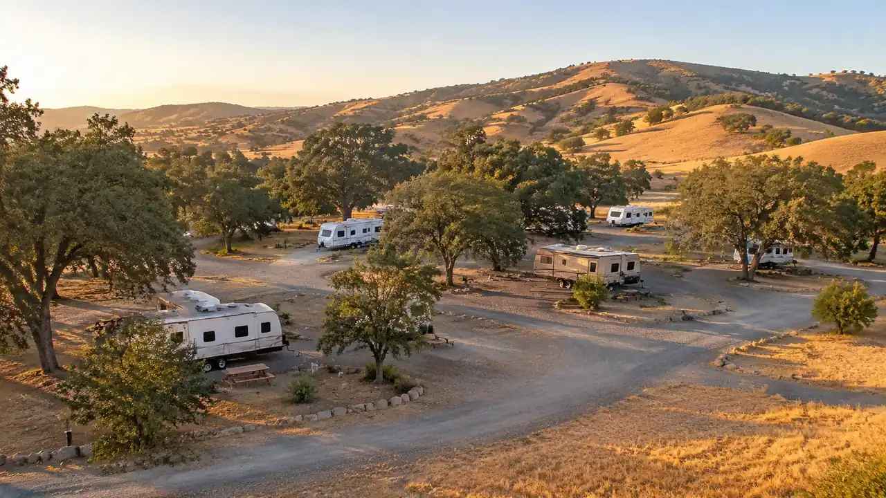
RV park zoning: can Butte County test sites with GenAnywhere?
Butte County RV park proposals raise questions about grade, access, and neighbors before any hearing. A 3D site model built from map data lets a team test terrain, entry roads, tree cover, and layout options early. The preview supports better questions for staff and engineers, without replacing surveys or permits.
Digital twin pilots: a site checklist for teams with GenAnywhere
A digital twin pilot should improve one decision, not demonstrate a platform. This checklist covers the pilot boundary, layer inventory, handoff format, evaluation questions, and stop conditions. GenAnywhere supplies an initial site context as a GLB export, while live sensors, asset data, and daily operations remain outside the pilot itself.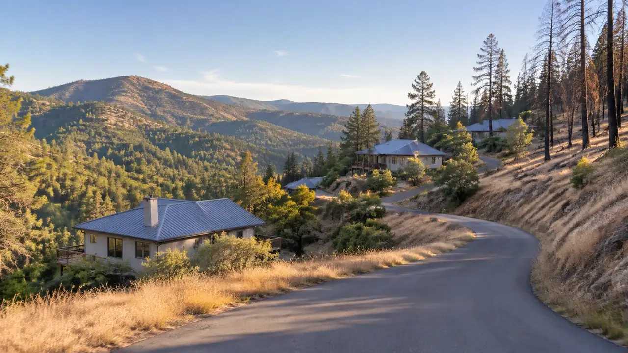
Wildfire terrain planning starts with a 3D baseline, GenAnywhere
A wildfire changes the ground a community knows. GenAnywhere builds a terrain baseline from mapped imagery, showing slope shape, roads, water, and building clusters for rebuild conversations. It does not model fire behavior, produce a risk score, or replace the fire authority and planning staff who make the final decisions.
Transit funding: how do agencies weigh site options in GenAnywhere?
Transit funding compares projects that touch different ground. GenAnywhere helps transit agencies build a consistent 3D view of each station area, including station access routes and displaced uses, so boards and residents can compare like with like. Cost, ridership, and eligibility stay with the financial models and the funding program.