Airport terminal plans: can teams use GenAnywhere to phase sites?
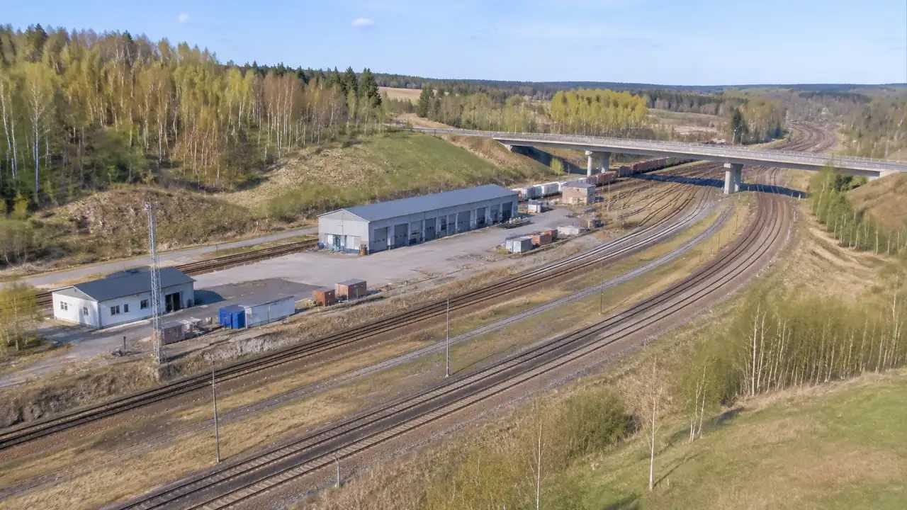
Terminal phasing is a sequence of ground decisions, not a construction schedule. GenAnywhere helps teams map the apron edge, service roads, and open ground, then compare phase options from one camera position. Layout standards, airspace, security, and formal approval remain with the airport and the local regulators accountable for them.
Drone corridor growth: what can GenAnywhere add to site review?
Corridor growth puts pressure on launch sites, recovery areas, and the land beneath each route. GenAnywhere gives teams a three-dimensional read of terrain, buildings, trees, and access. Flight rules, waivers, and airspace approval stay with the aviation authority, so the ground review remains useful without overclaiming what it can settle.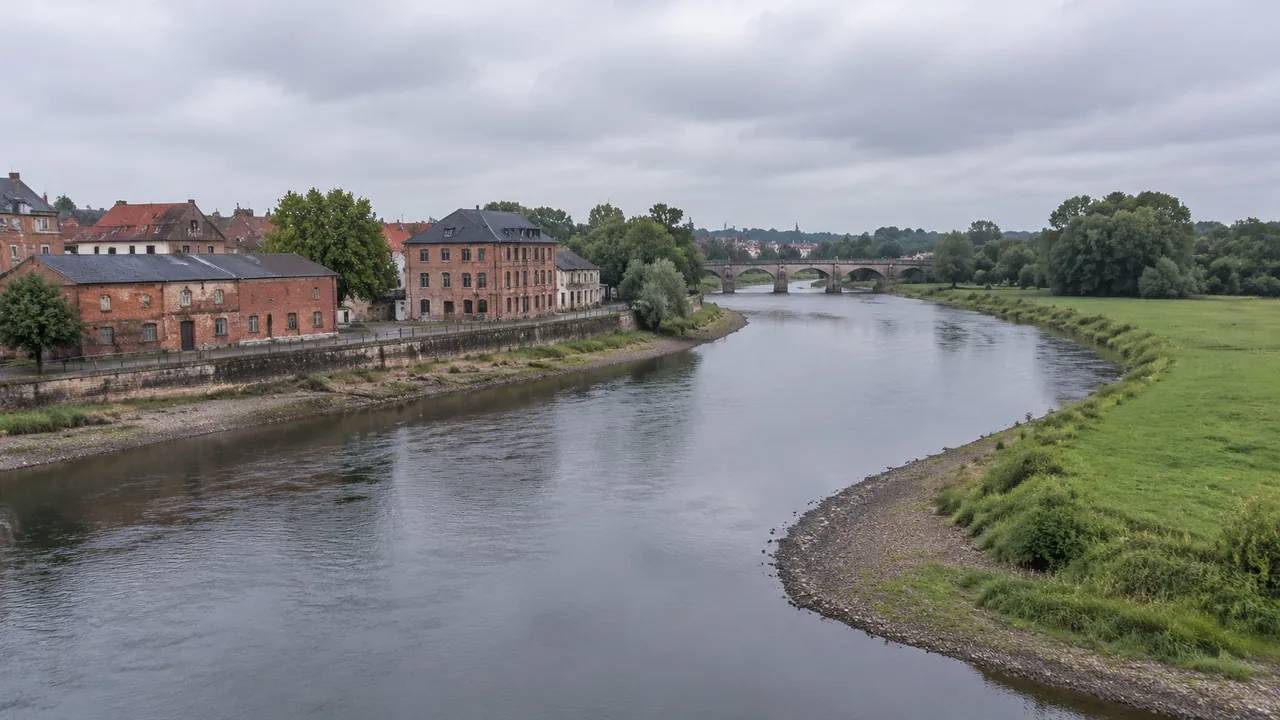
Flood map gaps: how should planners test a site in GenAnywhere?
A flood map has edges and dates. Testing a site means reading the effective zone, then comparing terrain, drainage records, and local knowledge. GenAnywhere shows the physical setting in three dimensions. It does not model flooding, certify elevations, or replace the floodplain administrator, surveyor, or any licensed engineer who decides.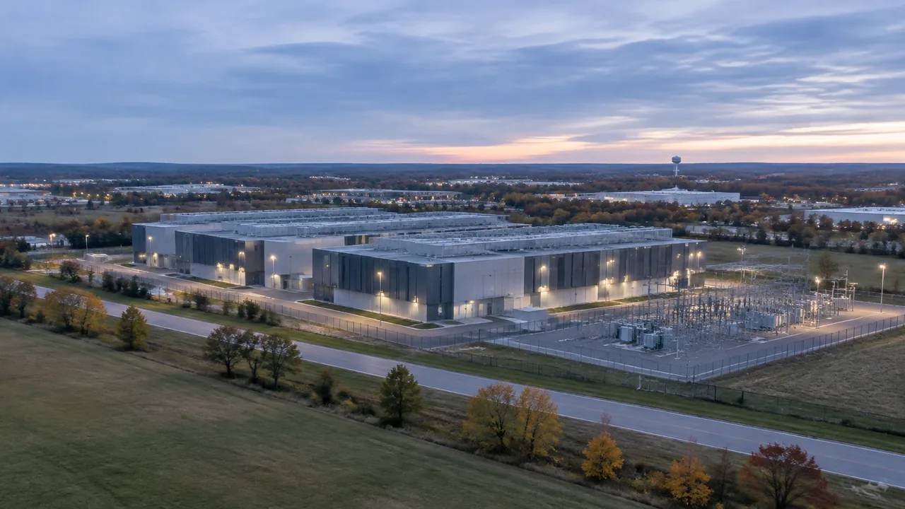
Can a data center moratorium reshape how GenAnywhere reads a site?
A building pause changes the site question rather than the site. Teams compare existing parcels, test expansion against replacement, and brief colleagues on terrain, access, and power context. A three-dimensional view keeps those conversations concrete while zoning, utility capacity, and community support stay with the local authorities who decide them.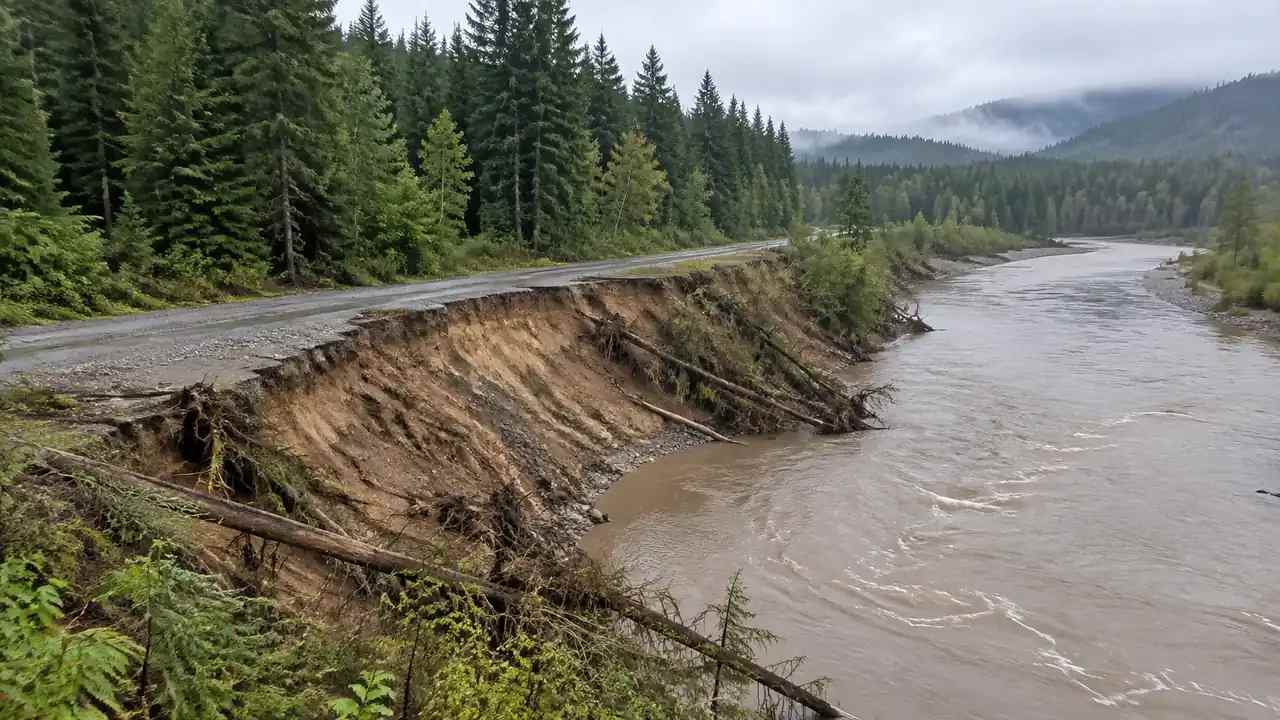
Terrain change: what GenAnywhere lets site teams compare
Terrain change affects pads, banks, drainage, and access, and site teams need a clear, shared way to describe it. This article explains how to compare two dates with fixed views, what visual cues to look for, what a scene cannot measure, and when survey and hydrology work should take over.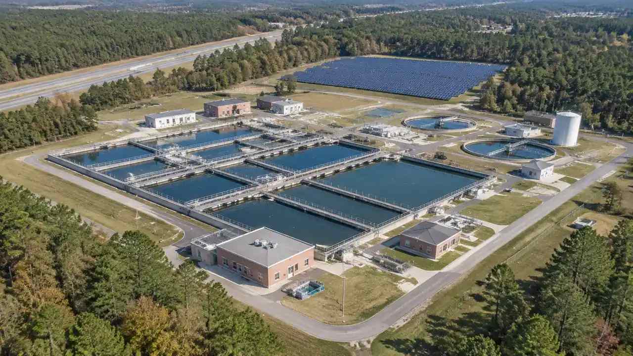
Infrastructure pipeline: what site screening changes, GenAnywhere
Infrastructure pipeline screening finds fatal constraints before design money is committed and spent. This guide explains how teams apply the same views and questions to every candidate, read terrain and access, hand a screened site to designers, and keep cost, environmental, and funding judgments with the studies that own them.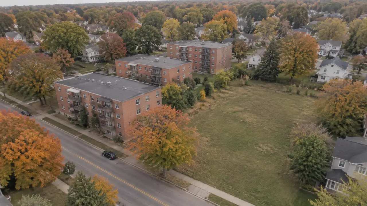
Housing bonds: how site context enters local programs, GenAnywhere
Housing bonds fund programs that begin with a site inventory. This article explains how staff can use a shared 3D scene to describe terrain, access, and surrounding uses, compare scattered sites consistently, brief residents and boards, and keep eligibility, funding, and legal decisions with the responsible program staff and board.
Digital towers: how GenAnywhere supports airport site review
Digital towers depend on clear sightlines, reliable power and data, and a site that supports the equipment. This guide explains how airport teams use a 3D scene to review mast locations, compare views on the same terms, record obstructions, and separate siting context from the camera, network, and regulatory analysis.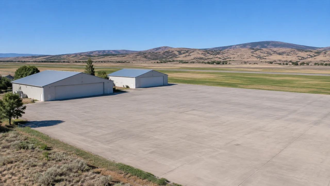
Vertipad siting: what airport teams test in GenAnywhere
Vertipad siting brings approach paths, ground access, and airport operations onto one small piece of pavement. This article explains how airport teams use a 3D site scene to compare pad locations, spot obstacles and access conflicts early, and then keep operational, noise, and regulatory questions with the right technical specialists.