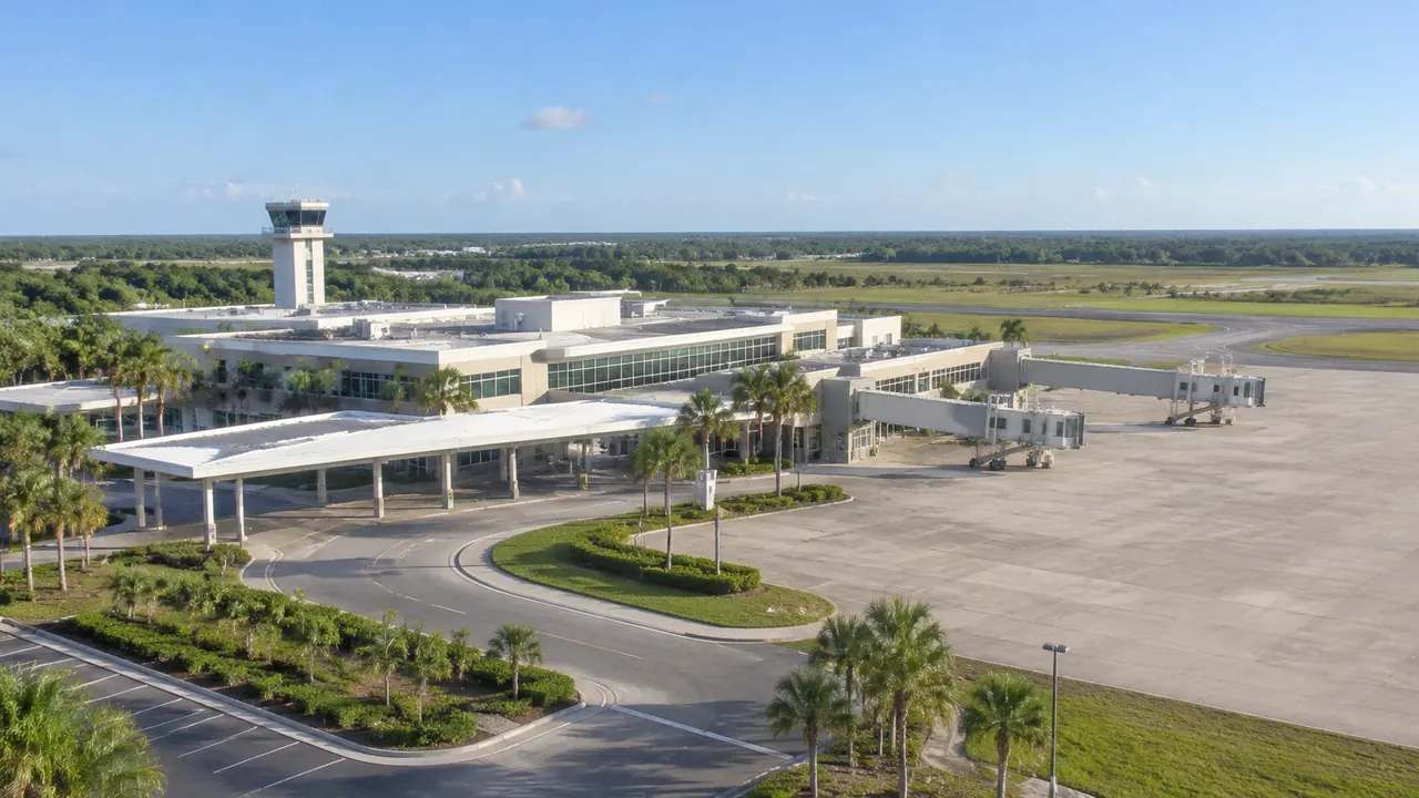
Campus planning: can teams phase buildings using GenAnywhere?
Campus phasing is a sequence, not a picture. GenAnywhere builds an editable 3D scene of the existing campus so teams can test where new buildings sit, what they displace, and how temporary moves and services work through each planning phase. Program studies, costs, and formal approvals remain outside the model.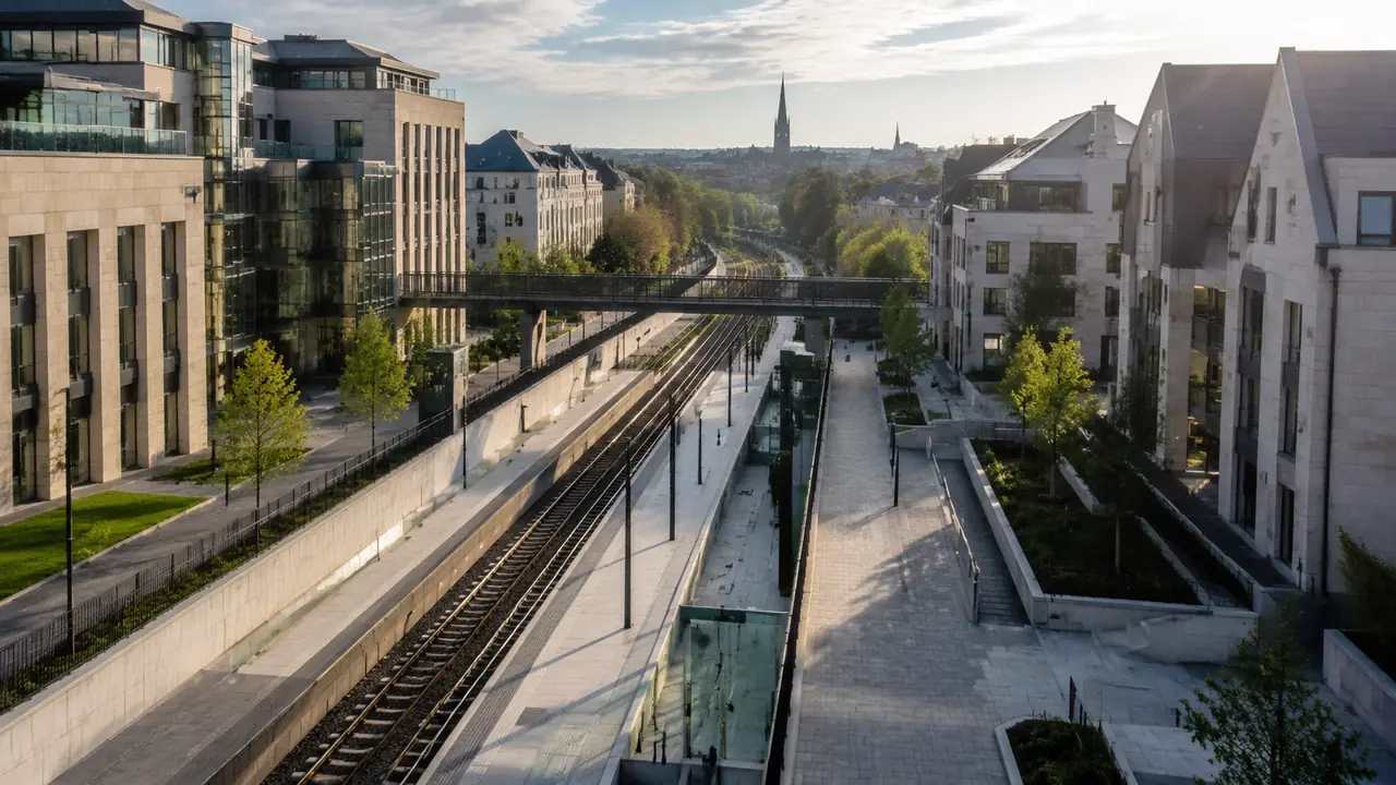
Transit extensions: what site context does GenAnywhere add?
A transit extension changes the blocks around every new stop. GenAnywhere builds a 3D site scene for each station area from map data so planners can compare heights, walking routes, entrances, and development options in one consistent shared frame. Ridership forecasting, airspace, and engineering remain separate studies owned by specialists.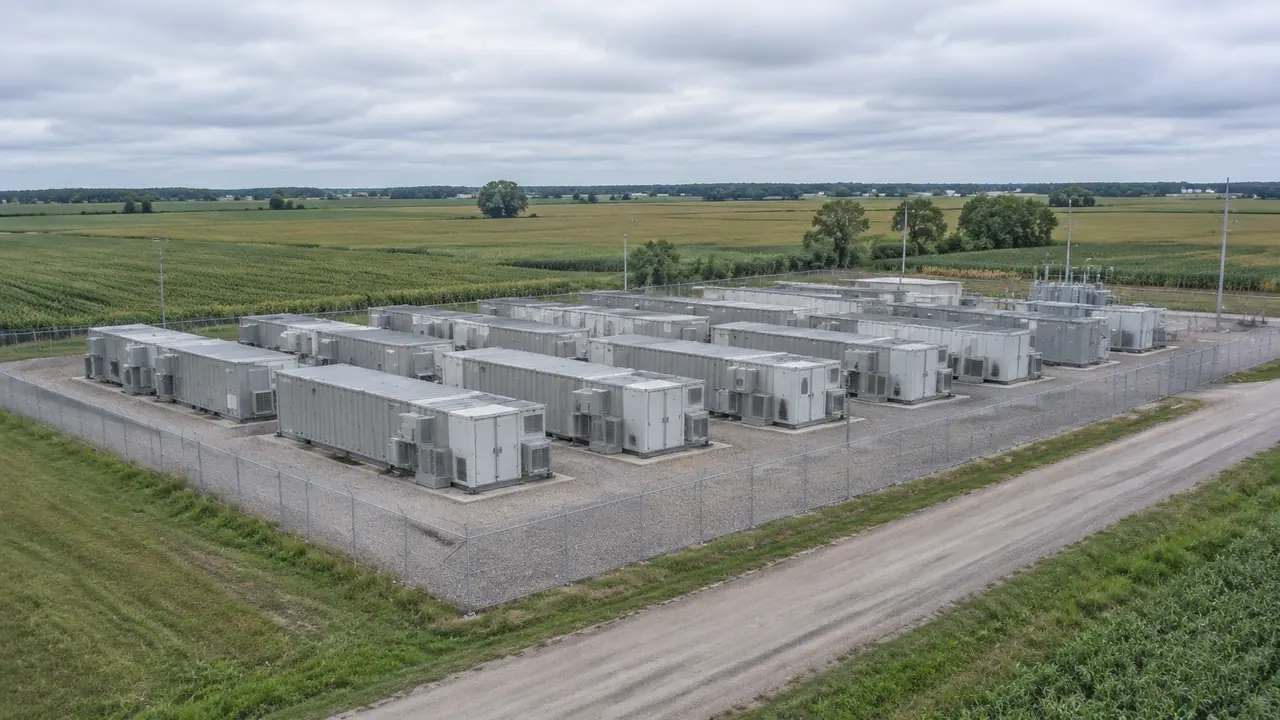
Battery storage siting: a 3D site workflow in GenAnywhere
Battery storage lives or fails on the parcel. GenAnywhere turns a map selection into an editable 3D site scene so teams can compare flat ground, access routes, buffers, and neighboring buildings before engineering begins. Fire review, equipment sizing, and interconnection studies stay with specialists. Exports carry a permanent commercial license.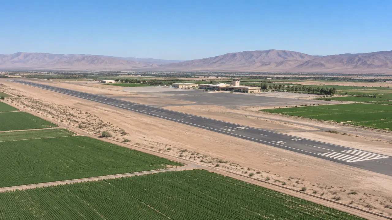
Airport rezoning: can Calexico test layouts using GenAnywhere?
Rezoning land around Calexico's airport means testing new uses against runways, access roads, and nearby homes and businesses. GenAnywhere assembles a 3D site scene of surrounding parcels from map data so planners can compare zoning envelopes and workshop views together, while aviation specialists keep airspace, noise, and protected surface studies.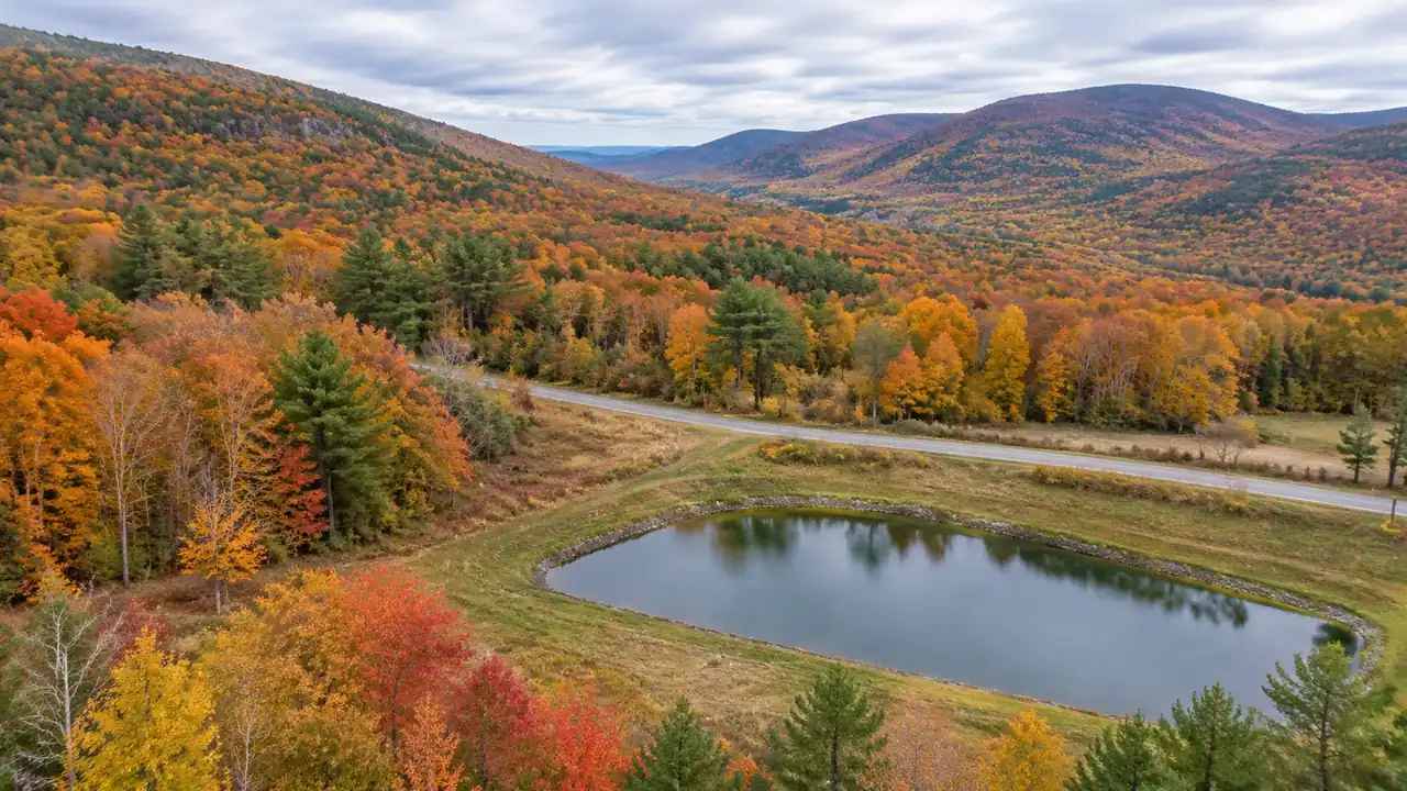
Stormwater mapping: what Ulster County gains with GenAnywhere?
Ulster County's drainage problems often start above the road that floods. GenAnywhere builds a shared 3D scene from map data so highway, planning, and county engineering staff can compare catchments, culverts, new hard surfaces, and steep slopes in one consistent view before commissioning local drainage studies or any design work.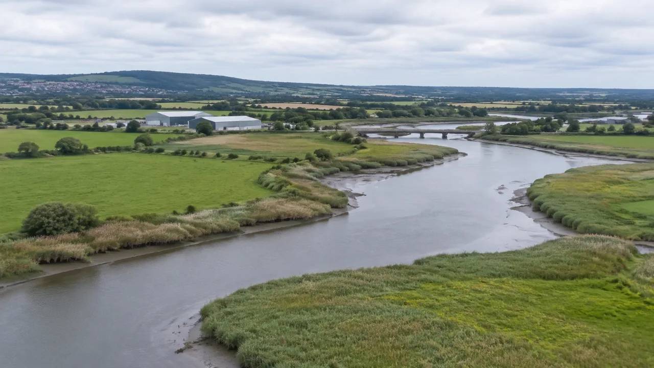
Bristol wetland city: can GenAnywhere map flood storage sites?
Bristol's flood storage debate is really about land. GenAnywhere builds an editable 3D site scene from map data so teams can see low-lying parcels, neighboring buildings, and access routes together, then compare storage options before hydraulic modeling or local planning decisions begin. It frames the conversation without replacing engineering studies.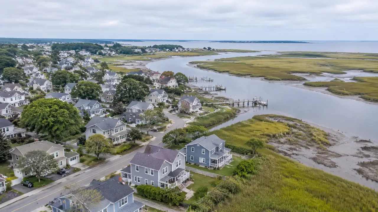
Flood-prone districts: what GenAnywhere changes in block layouts
Flood-prone districts need block layouts that give water somewhere to go. Teams should preserve flow paths, low ground, open space, and usable evacuation routes, then compare schemes on one baseline. GenAnywhere provides a generated 3D site context, while hydraulic modeling and drainage design stay with engineers and local drainage specialists.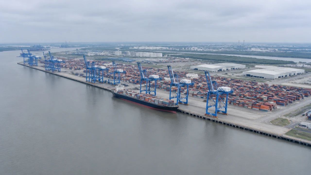
Can harbor digital twins start with GenAnywhere site context?
Harbor digital twins need a shared ground layer before live systems arrive. Teams should agree on quay, yard, sheds, water, roads, and rail, then test early layout questions. GenAnywhere generates a 3D site context for that frame, while surveys, asset records, and live integrations remain later work for the team.
Campus transition: how would GenAnywhere compare site options?
A campus transition compares travel, parking, utilities, phasing, and growth room before building design. Teams should use one checklist and one set of camera positions for every option. GenAnywhere supplies a shared 3D site context for that comparison, while traffic, cost, and accessibility studies stay with specialist consultants and surveys.